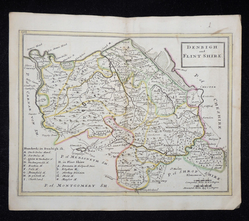
Denbigh and Flint Shire
Book Description
Other books
If you liked the book you've just seen, you might be interested in other books from the same dealer below.
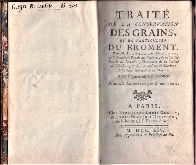
Traite de la conservation des grains, et en partic...
Monceau, M. Duhamel du
Chez Hippolyte-Louis Guerin et Louis-Francis Delatour. Avec Approbation et Privilege du Roi
£150.00
Offered by Paul Haynes Rare Books
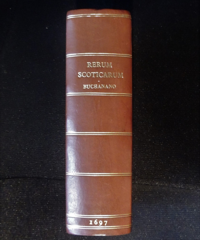
Rerum Scoticarum Historia + Historiae Scoticae Nom...
Buchanan, George + Irvine, Christopher
Antonium Schouten. Utrecht + Jacob Watson, Craig's Close. Edinburgh
£175.00
Offered by Paul Haynes Rare Books
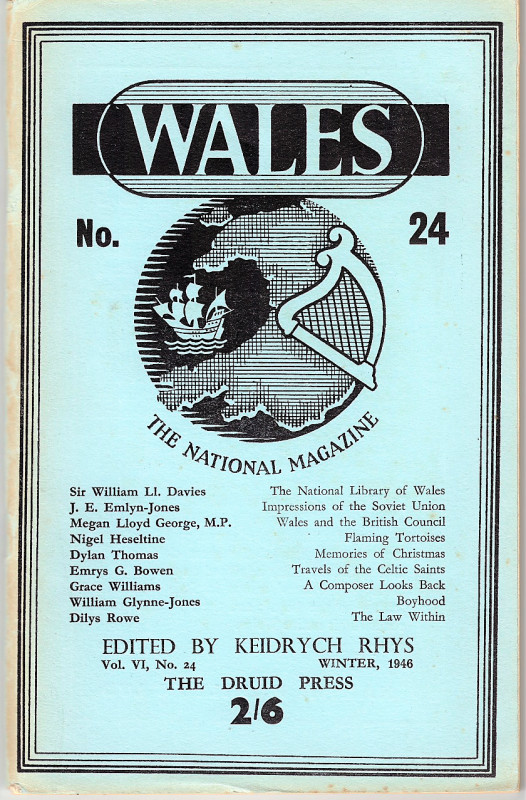
Memories of Christmas by Dylan Thomas. Wales The N...
Rhys, Keidrych (editor) Thomas, Dylan (Contributor)
The Druid Press, Carmarthen
£50.00
Offered by Paul Haynes Rare Books
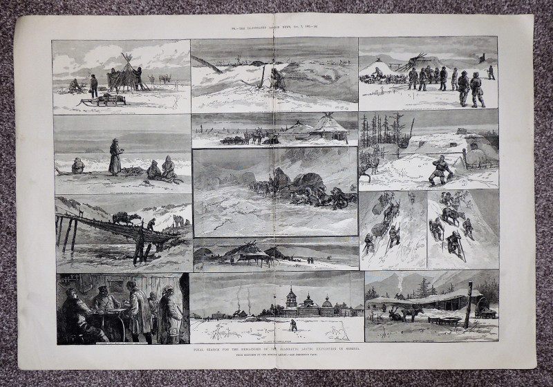
Final Search for the Jeannette Arctic Expedition i...
Illustrated London News
Illustrated London News
£15.00
Offered by Paul Haynes Rare Books
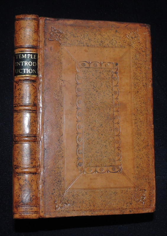
An Introduction to the History of England
Temple, Sir William
Printed by W.S. for Richard and Ralph Simpson near the North Door of St Pauls
£250.00
Offered by Paul Haynes Rare Books
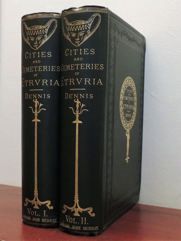
The Cities and Cemeteries of Etruria.
Dennis, George
John Murray
£250.00
Offered by Paul Haynes Rare Books
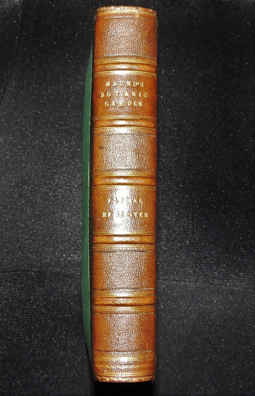
The Floral Register; Containing Figures And Descri...
Maund, Benjamin
Simkin and Marshall; Groombridge & Sons,
£175.00
Offered by Paul Haynes Rare Books
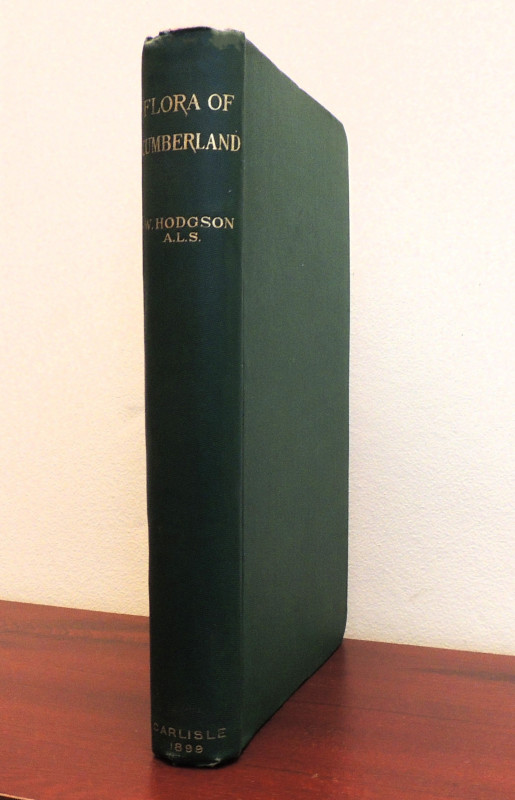
Flora of Cumberland
Hodgson, William
W. Meals and Company. Carlisle
£30.00
Offered by Paul Haynes Rare Books
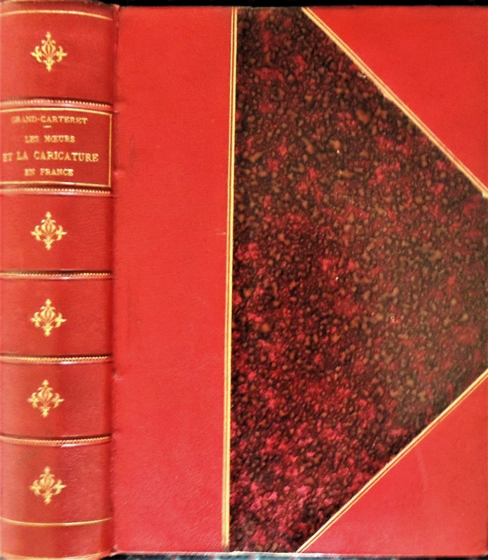
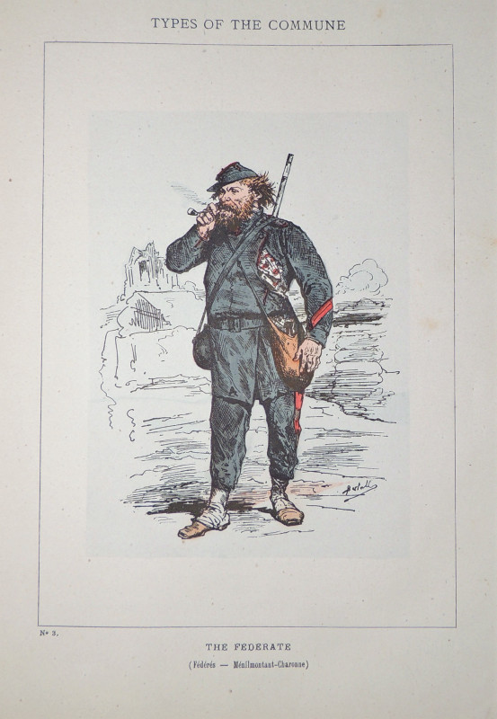
Moeurs et la caricature en France
Grand-Carteret, John
Imprimerie de Charles Hérissey. Evreux. La Librairie Illustrée. Paris.
£175.00
Offered by Paul Haynes Rare Books
Friends of the PBFA
Please email info@pbfa.org for more information