Moran's War Map
Book Description
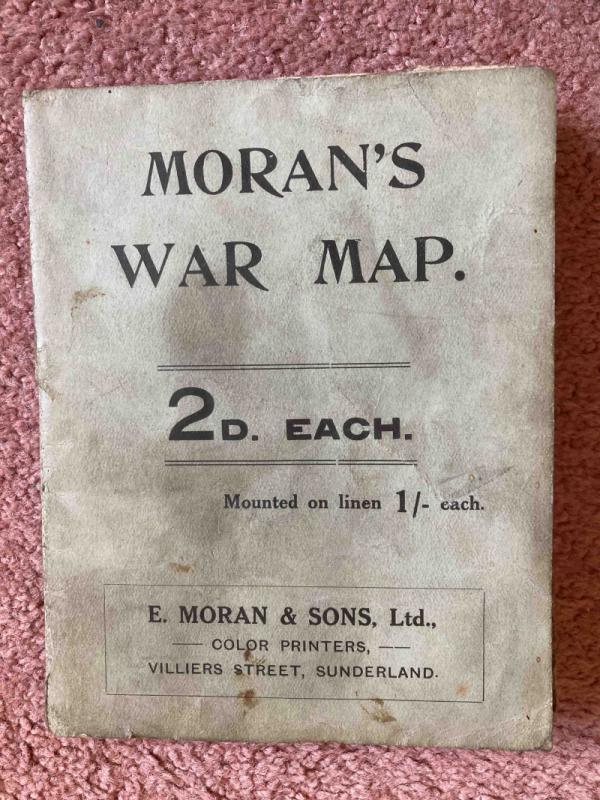
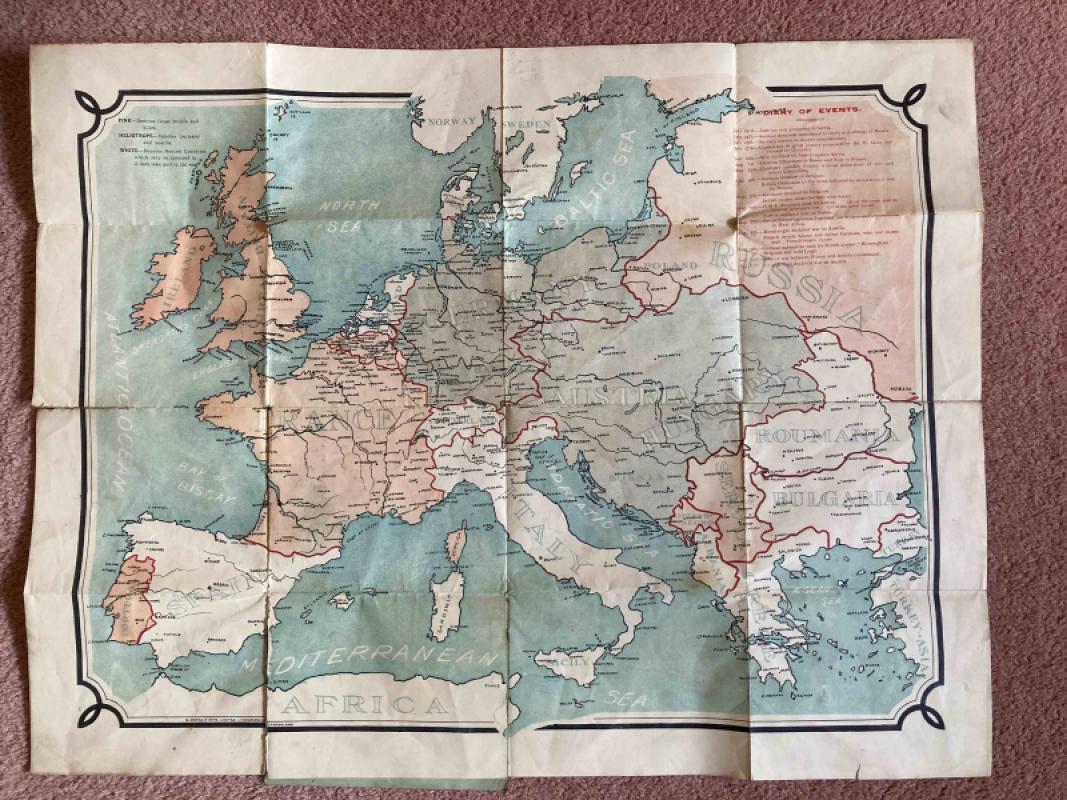
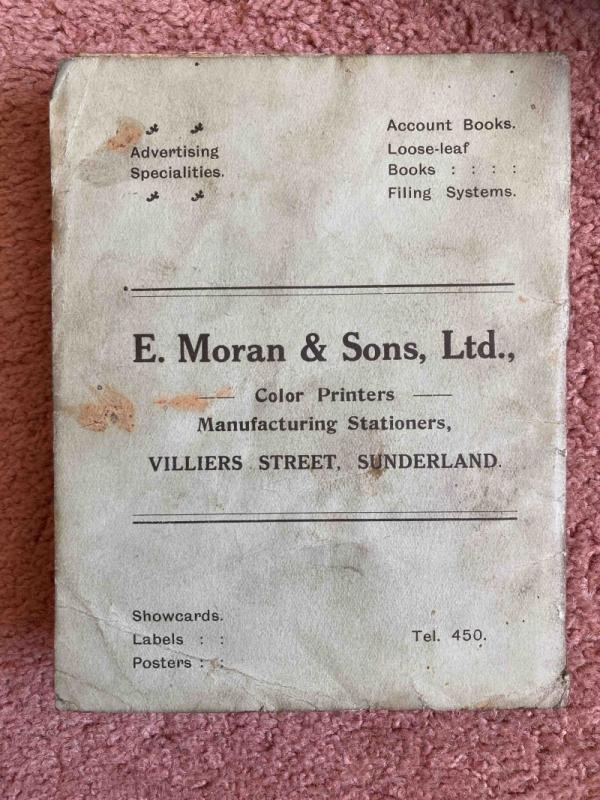
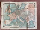
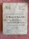
This is a map of Europe c1914, produced by E. Moran and Sons, Color (sic) Printers and Manufacturing Stationers of Villiers Street in Sunderland; the maps were available for 2d or for 1/- if mounted on linen.
The map includes a "Diary of Events" that led to the outbreak of World War One, from 23 July ("Austrian note presented to Servia") to 12 August 1914 ("Great Britain declared war on Austria").
Some of the events are not necessarily those that might seem obvious candidates for such a list. Britain declares war on Germany following their invasion of Belgium on August 4th is not a surprising inclusion. British forces capture Togoland on August 7th is perhaps less expected.
Dealer Notes
Great Britain and Allies are shown in Pink, Germany and Austria in Heliotrope, and white denotes neutral countries ("which may be coloured in if they take part in the war" - none have been). Italy is neutral at this stage, declaring war on Austria-Hungary in May 1915.
Folded size = 14.5cm x 11.5cm
Unfolded size = 57cm x 44cm
Folded size = 14.5cm x 11.5cm
Unfolded size = 57cm x 44cm
Author
Anon
Date
c1914
Binding
Not applicable
Publisher
E. Moran & Sons, Ltd. Villiers Street Sunderland
Condition
Fair
Pages
1
Other books
If you liked the book you've just seen, you might be interested in other books from the same dealer below.
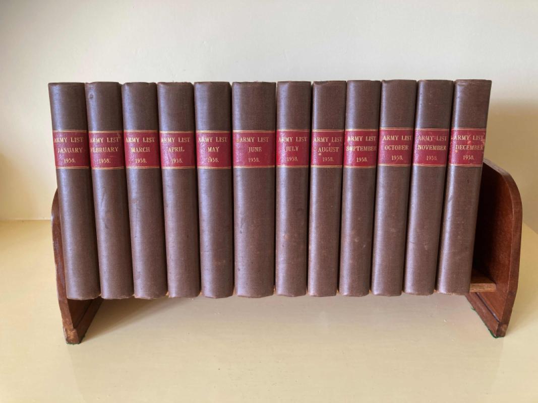
The Army List for 1938 in 12 Monthly Volumes
Not applicable
HMSO by Eyre and Spottiswoode Limited
£250.00
Offered by Topeka Books

Fairy Music - An Anthology of English Fairy Poetry...
Arthur Edward Waite
Walter Scott Limited
£150.00
Offered by Topeka Books
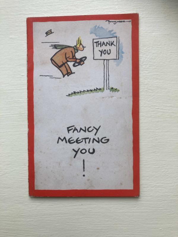
Fancy Meeting You!
Fougasse & McCullough
Royal Society for the Prevention of Accidents
£25.00
Offered by Topeka Books



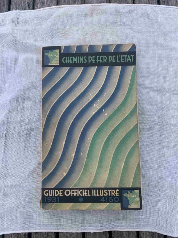
Chemin de Fer de l’État - Guide Officiel Illustré
Anon.
Chemin de Fer de l’État
£30.00
Offered by Topeka Books
Friends of the PBFA
For £10 get free entry to our fairs, updates from the PBFA and more.
Please email info@pbfa.org for more information