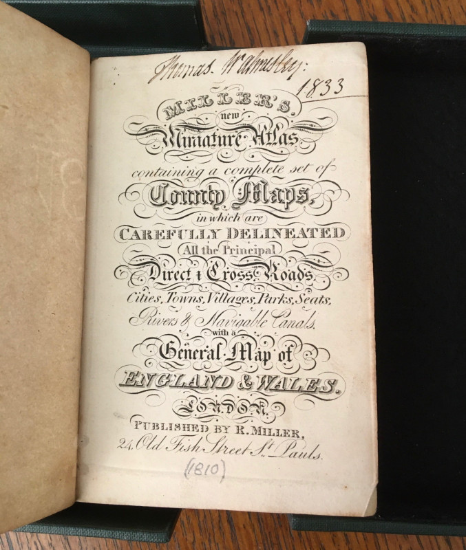
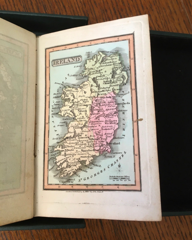
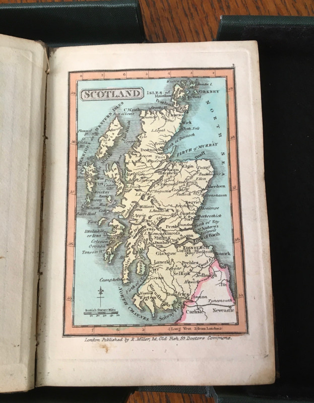
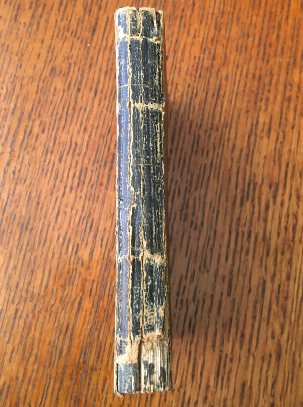
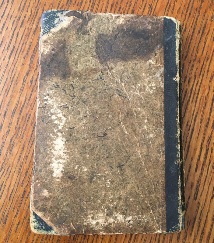
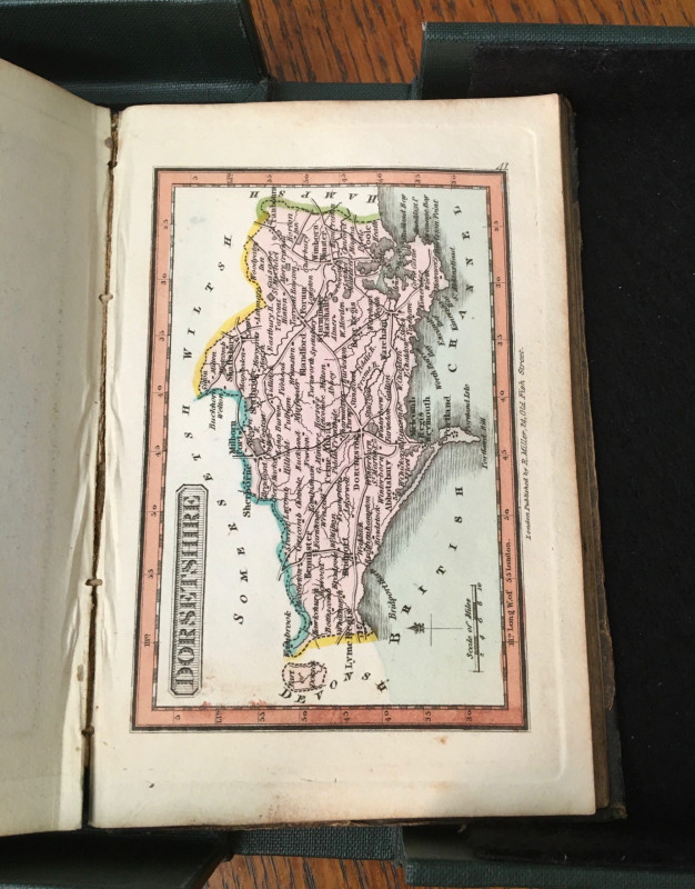
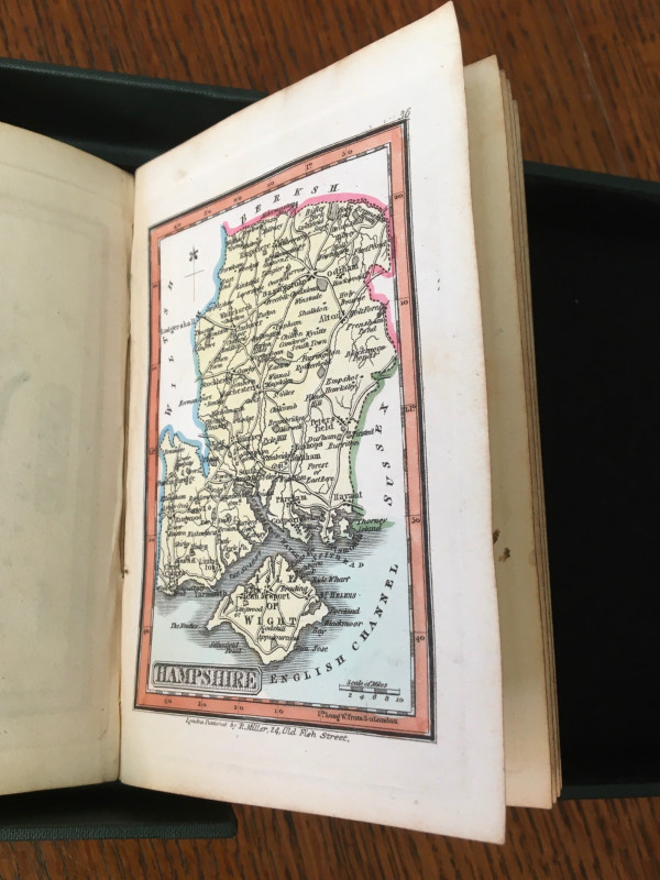
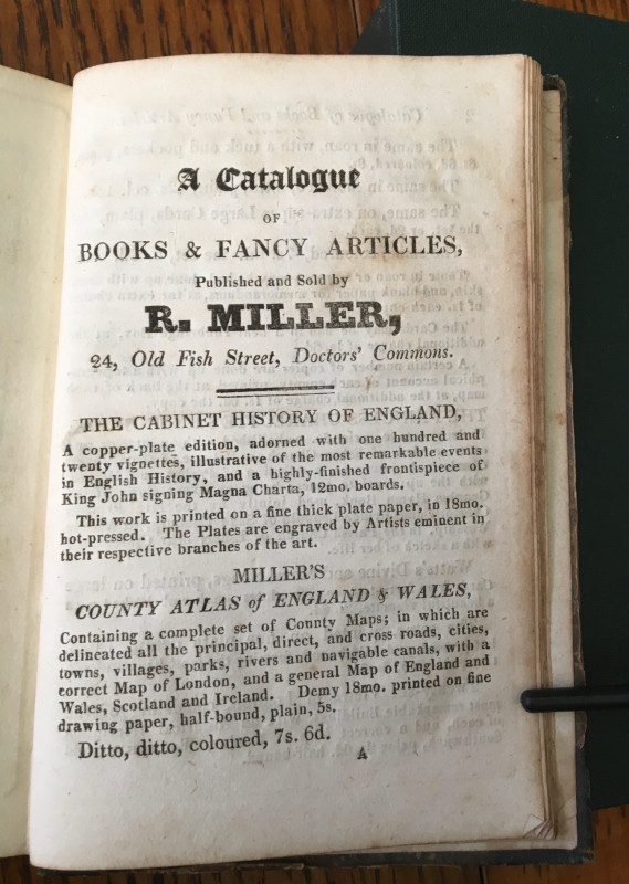
MILLER'S NEW MINIATURE ATLAS.


Book Description
Other books
If you liked the book you've just seen, you might be interested in other books from the same dealer below.
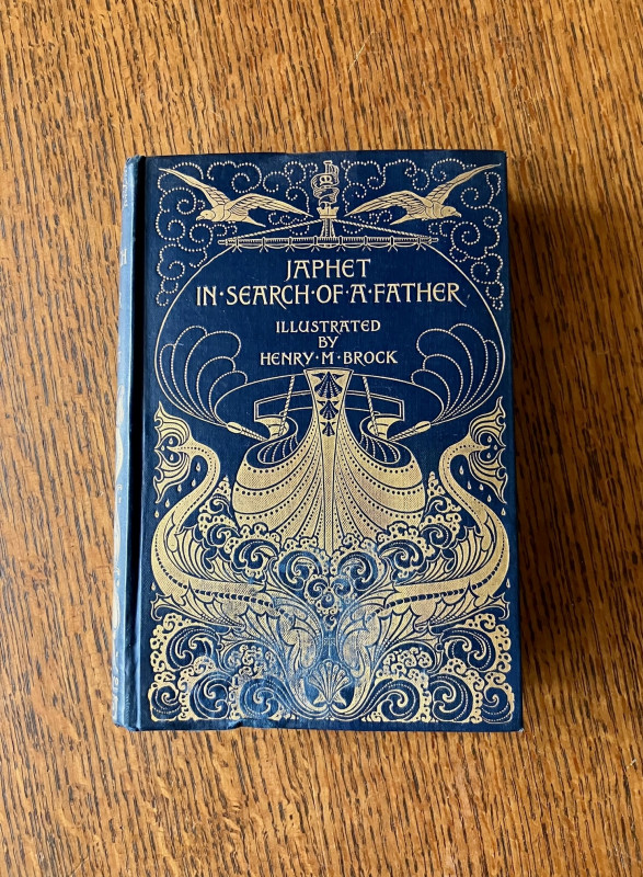
JAPHET, IN SEARCH OF A FATHER.
MARRYAT. CAPTAIN. ; BROCK. HENRY M. Illustrates.
Macmillan and Co. Ltd. London.
£185.00
Offered by Paul Foster Books
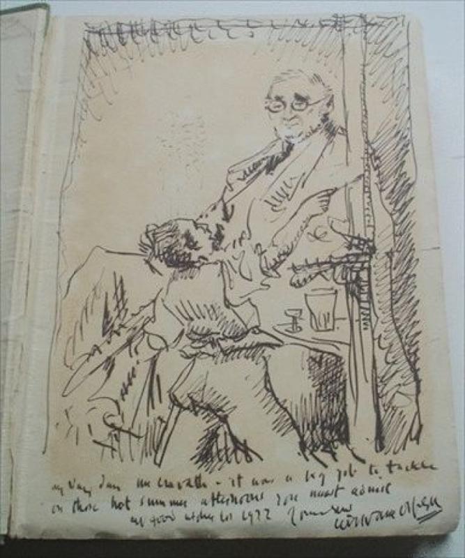
ORIGINAL SELF PORTRAIT INK DRAWING,in. AN ONLOOKER...
ORPEN. Sir. WILLIAM.
Williams and Norgate. London.
£5000.00
Offered by Paul Foster Books
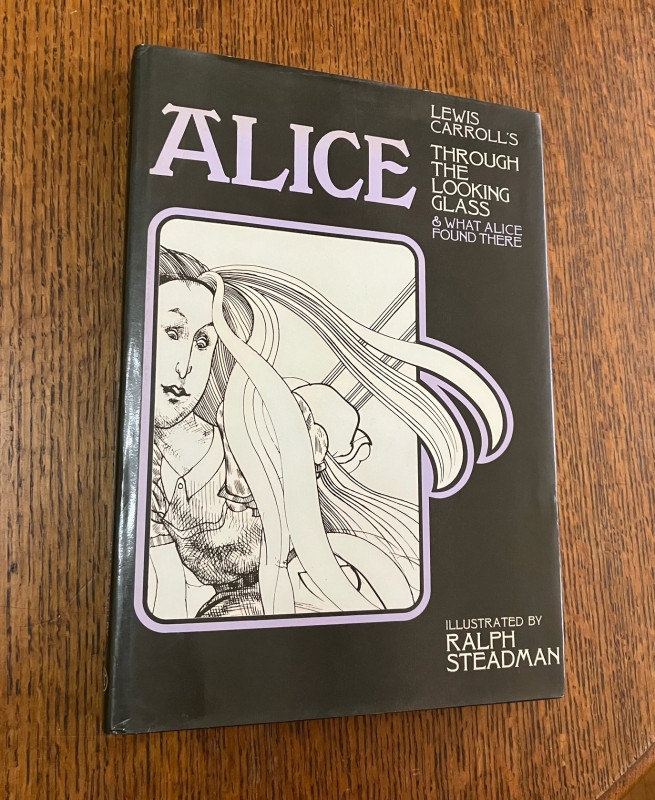
THROUGH THE LOOKING GLASS. AND WHAT ALICE FOUND TH...
CARROLL, LEWIS. ; STEADMAN, RALPH. ILLUSTRATES.
MacGibbon & Kee, London.
£225.00
Offered by Paul Foster Books
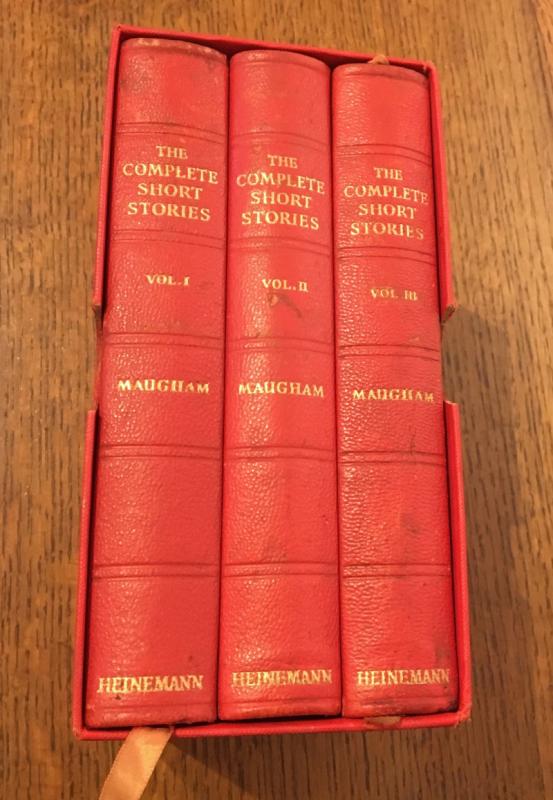
THE COMPLETE SHORT STORIES.
MAUGHAM. W. SOMERSET.
William Heinemann Ltd. London. 1961.
£875.00
Offered by Paul Foster Books

HAIL, HITLER ! The Nazi speaks to the world. Illus...
ANON.
Christophers, London
£200.00
Offered by Paul Foster Books
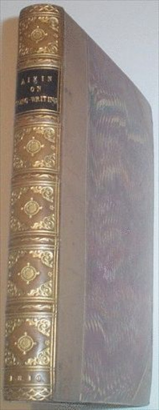
ESSAYS ON SONG WRITING. With a collection of such...
AIKIN. JOHN.; EVANS. R. H. Supplements.
R. H. Evans. London. 1810
£200.00
Offered by Paul Foster Books
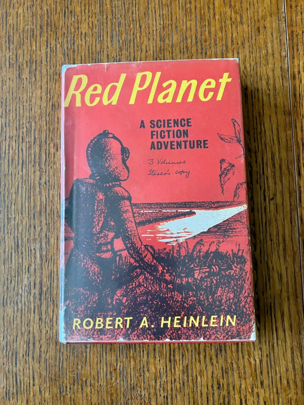
RED PLANET. - A Science Fiction adventure. Illustr...
HEINLEIN. ROBERT
Victor Gollancz.
£275.00
Offered by Paul Foster Books
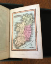
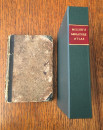
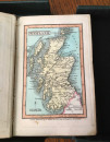
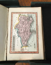
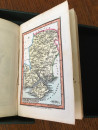
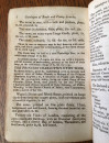
MILLER'S NEW MINIATURE ATLAS.
MILLER. R.
R. R. Miller. Old Fish Street, St. Pauls. London.
£2250.00
Offered by Paul Foster Books
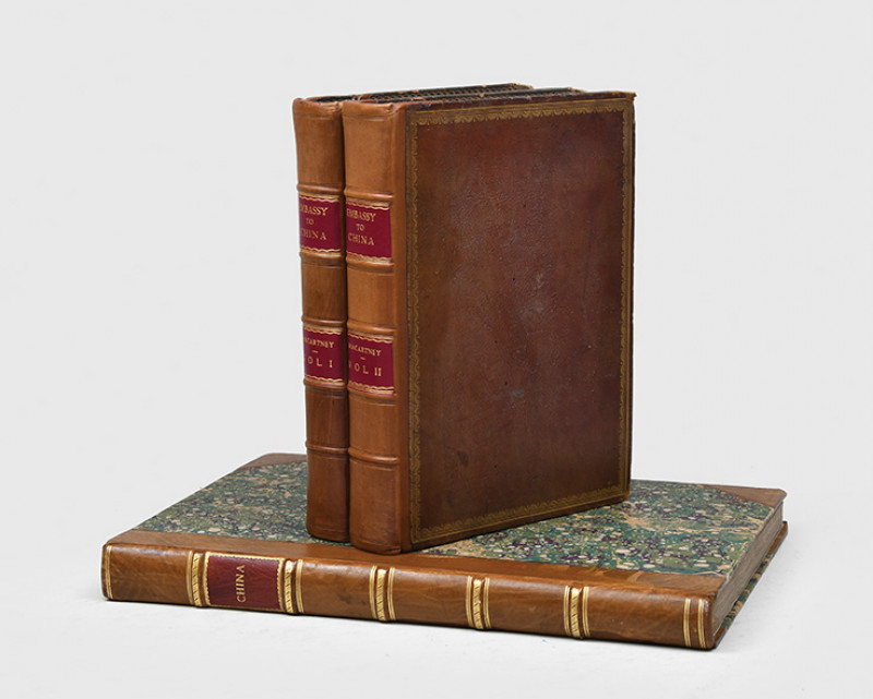
An Authentic Account of an Embassy from the King o...
STAUNTON. Sir GEORGE.
Printed by W. Bulmer & Co. for G. Nicol. London.
£8750.00
Offered by Paul Foster Books
Friends of the PBFA
Please email info@pbfa.org for more information