Map of the Thames Embankment and Railway Junction Line 1845
Book Description
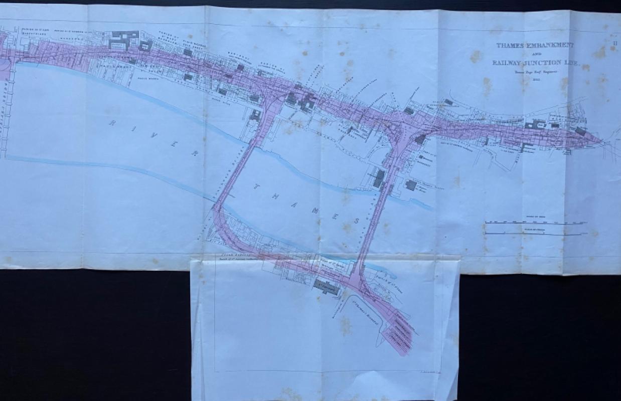
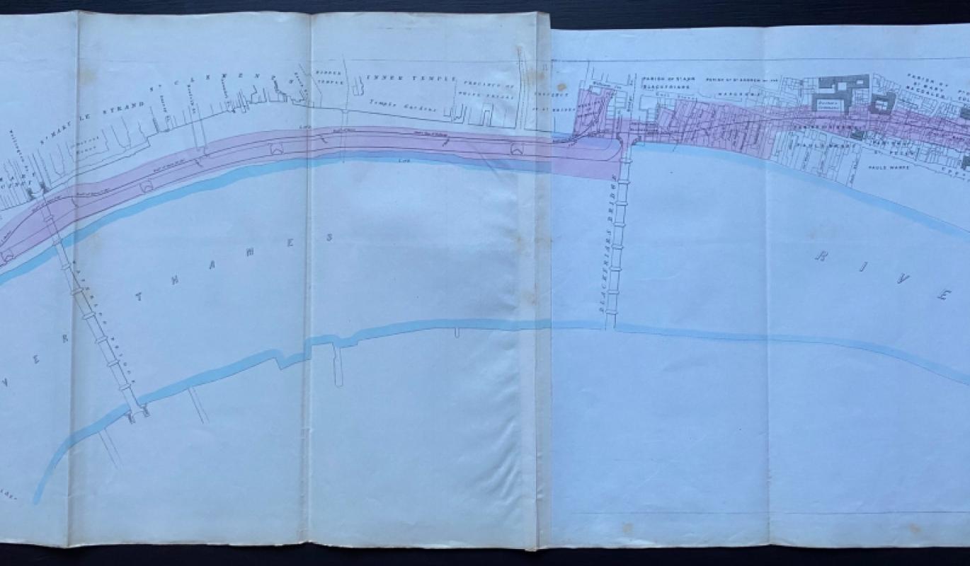
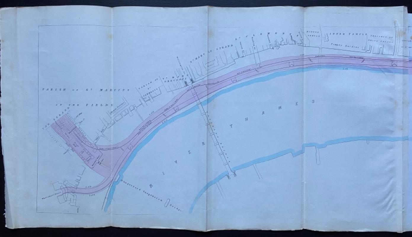
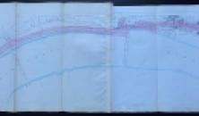
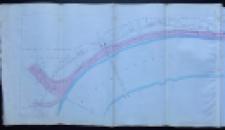
Map of the Thames Embankment and Railway Junction Line. Plan and sections drawn by Thomas Page, Engineer. Published by Hansard, London 1845. On paper size 150 by 34 cm. Scale 200 feet to the inch. Includes an attached extra section size 34 by 18 cm. that includes St. Thomas’s Hospital, St. Saviour’s, the south side of London Bridge and London Bridge Station. The map covers part of London from today’s Charing Cross Station in the west running along the north side of the Thames to a terminus by Fenchurch Street. The map predates the construction of the Thames Embankment. Streets and buildings are shown in considerable detail: the map provides a snapshot of London immediately north of the Thames in the early Victorian period. Page’s submission to Parliament promised that “on every street abutting the Strand and on the Thames there would be a station....Waterloo Bridge, Blackfriars, Southwark Bridge, King William Street etc…”. Good condition with some age toning.
Author
Page
Date
1845
Publisher
Hansard
Illustrator
Page
Condition
Good
Other books
If you liked the book you've just seen, you might be interested in other books from the same dealer below.


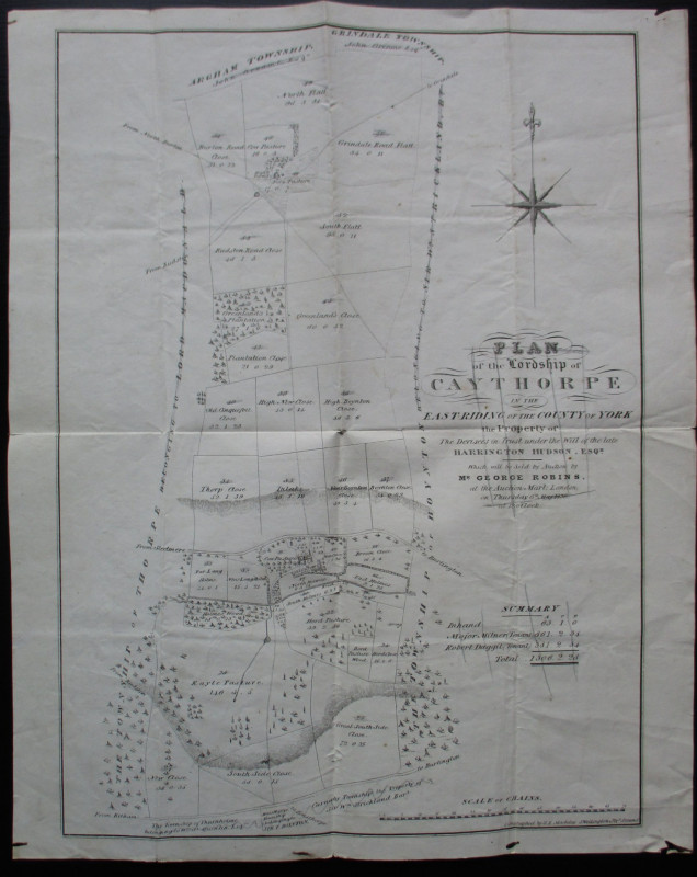
Plan of the Lordship of Caythorpe in the East Ridi...
Madeley
Madeley
Reserved
Offered by Arthur Hook
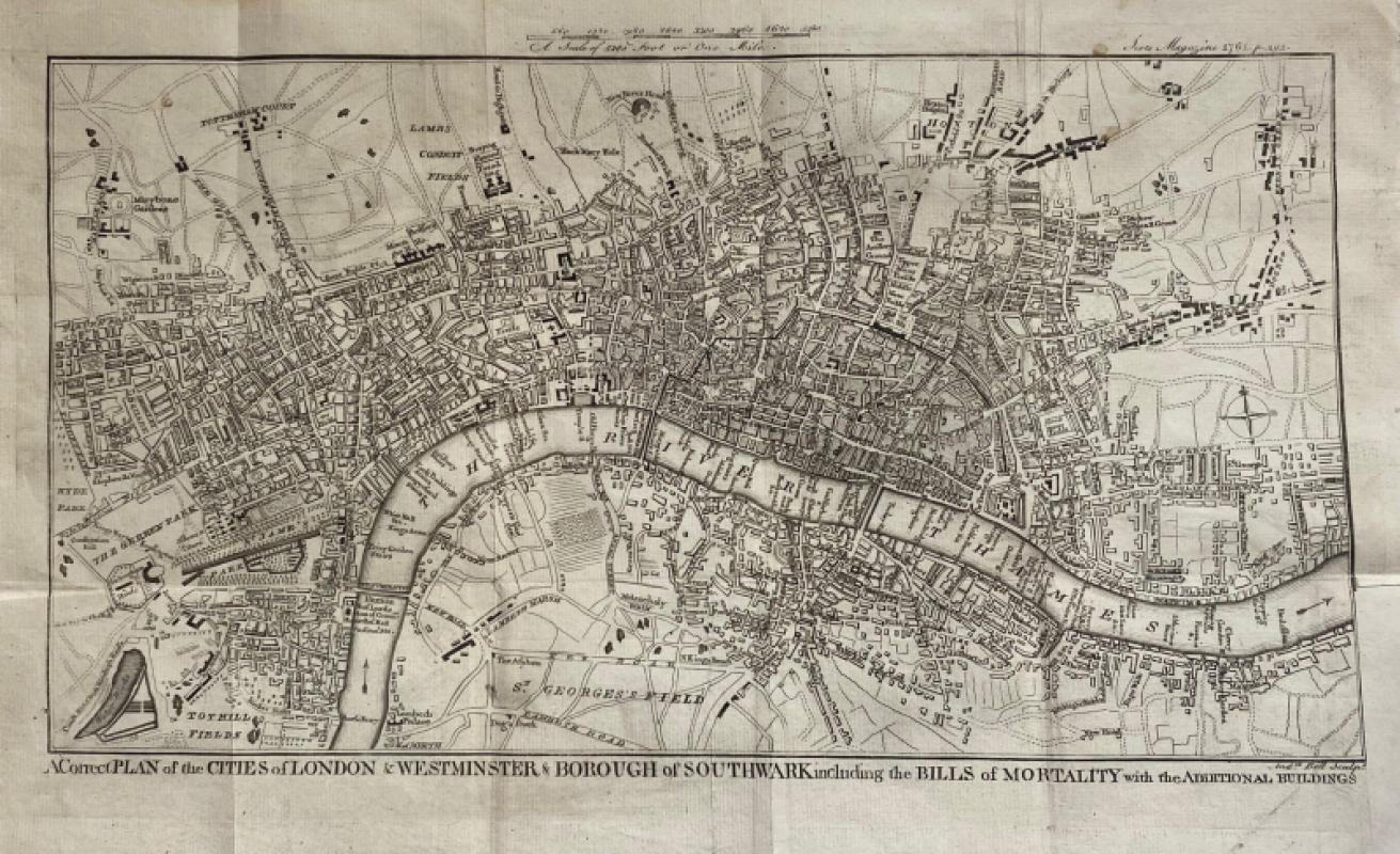
A Correct Plan of the Cities of London and Westmin...
Rocque
The Scots Magazine
Reserved
Offered by Arthur Hook
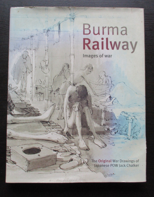
Burma Railway Images of War. The original war draw...
Chalker
Mercer Books
£45.00
Offered by Arthur Hook

Friends of the PBFA
For £10 get free entry to our fairs, updates from the PBFA and more.
Please email info@pbfa.org for more information