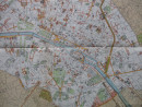
Map of Paris 1854
Book Description
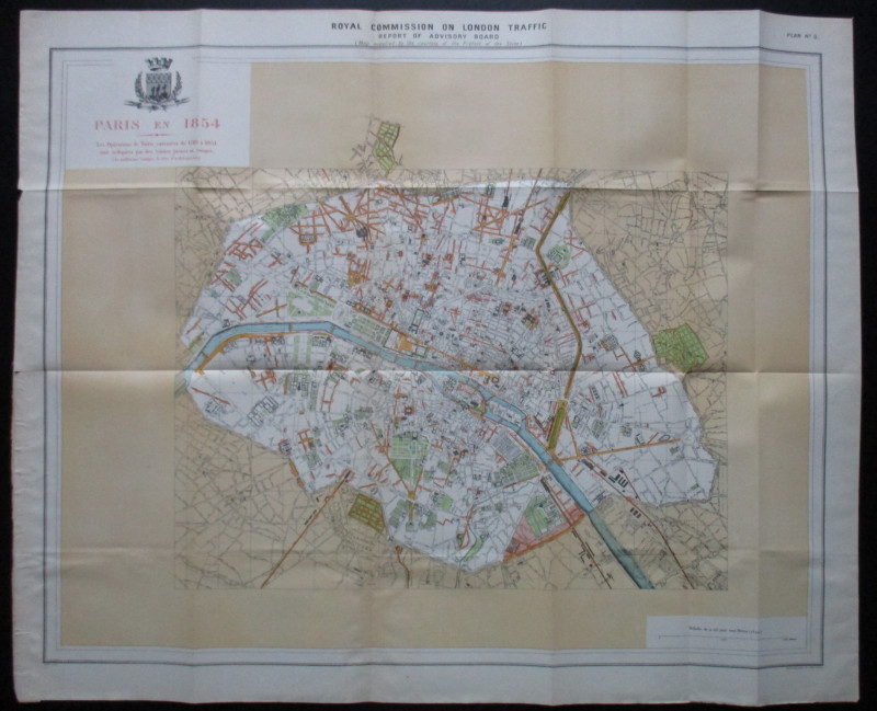
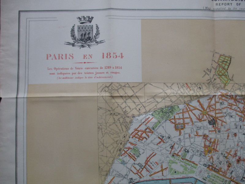
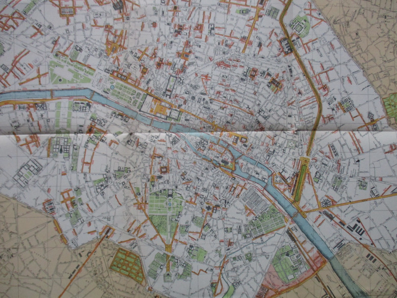
A Map of Paris 1854 by Alphand and Fauve. Paris En 1854, Les Operations de Voirie executés de 1789 à 1854 sont indiquées par des tientes jaunes et rouges (new roads and changes are shown in yellow and red). lithographed by Weller and Graham, London 1905 from a map originally published in Paris, 1889. A folding map on paper size 83 by 68 cm. Scale approximately 400 metres to the inch. Colour. Most streets are named and the map shows the central area of the city in great detail. Includes the coat of arms of the city above the title. VG condition.
Author
Alphand and Fauve
Date
1905
Publisher
Hansard
Illustrator
Alphand and Fauve
Condition
VG
Other books
If you liked the book you've just seen, you might be interested in other books from the same dealer below.
Maps, plans and views from Elphinstone’s Account o...
Elphinstone
Eyre and Spottiswoode
£525.00
Offered by Arthur Hook
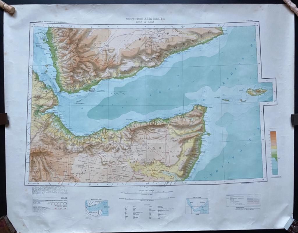
Map of The Gulf of Aden with parts of Arabia, Abys...
Couchman
Survey of India
£50.00
Offered by Arthur Hook
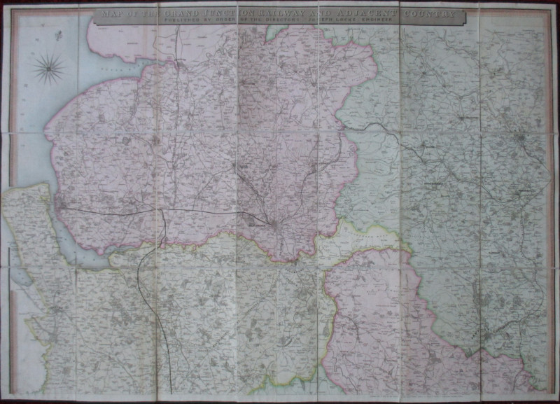
Map of the Grand Junction Railway and Adjacent Cou...
Cheffins
Cheffins
£350.00
Offered by Arthur Hook
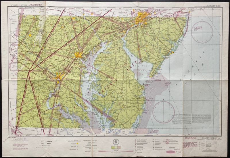
Map of Washington Air Defence Zone 1942
Colbert
US Coast and Geodetic Survey
Reserved
Offered by Arthur Hook
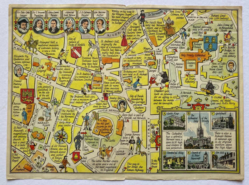
A Map of the City of Norwich drawn and described b...
Sayer
Strand Magazine
£35.00
Offered by Arthur Hook
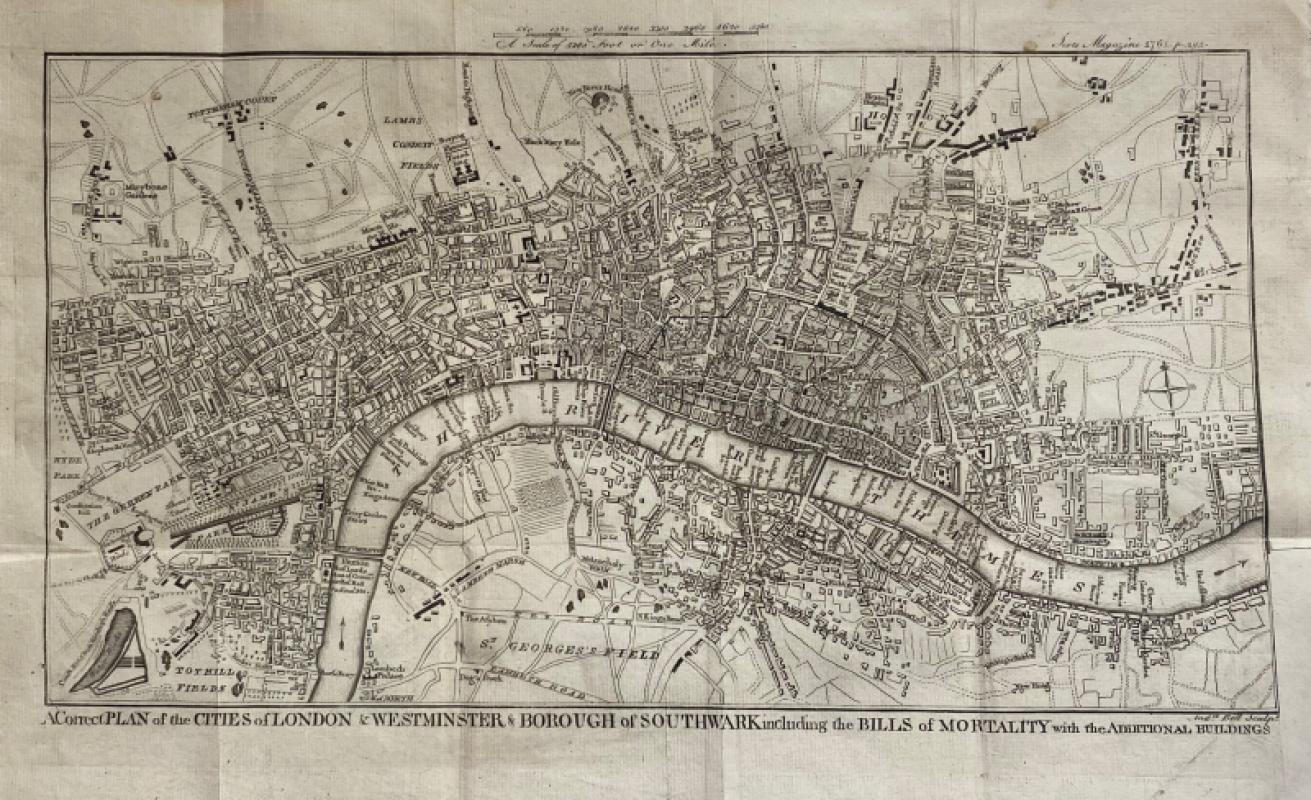
A Correct Plan of the Cities of London and Westmin...
Rocque
The Scots Magazine
Reserved
Offered by Arthur Hook
Friends of the PBFA
For £10 get free entry to our fairs, updates from the PBFA and more.
Please email info@pbfa.org for more information