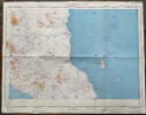
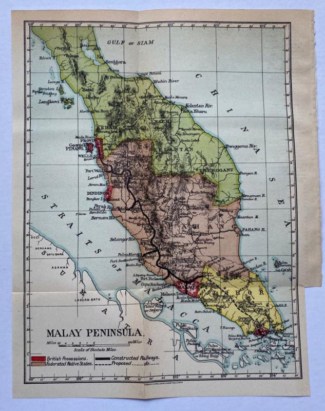
Map of Malacca


Book Description
Map of Malacca published by D Survey, British War office & Air Ministry 1960. On paper size 74 by 58 cm. Scale 1:500,000. Coded 860 A/ RAF Aeronautical Chart. Colour. Heights are shown by contours and are also colour-coded according to a key. Several parts of what was then British Malaya on or near the east coast are described as unsurveyed. Good condition.
Author
British War Office & Air Ministry
Date
1960
Publisher
British War Office & Air Ministry
Condition
Good
Other books
If you liked the book you've just seen, you might be interested in other books from the same dealer below.
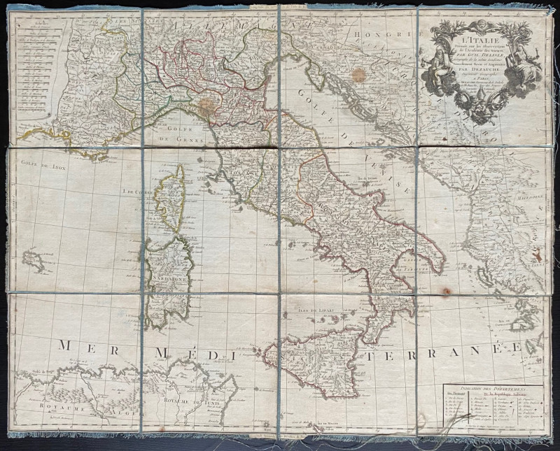
Map of Italy 1802. L'Italie Dresse sur les Observa...
Delisle
Dezauche
£105.00
Offered by Arthur Hook
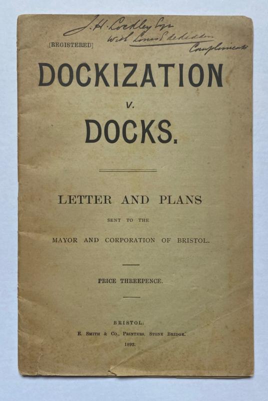
Dockization versus Docks, Letters and Plans sent t...
de Ridder
de Ridder
£30.00
Offered by Arthur Hook
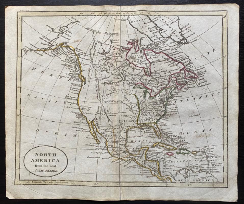
Map of North America from the Best Authorities
Russell
Rivington, Wilkie and others
Reserved
Offered by Arthur Hook
Friends of the PBFA
For £10 get free entry to our fairs, updates from the PBFA and more.
Please email info@pbfa.org for more information