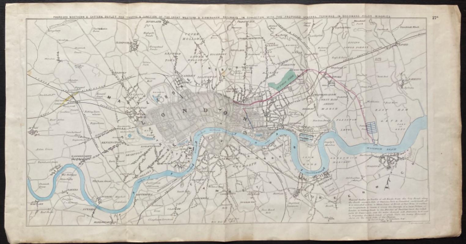
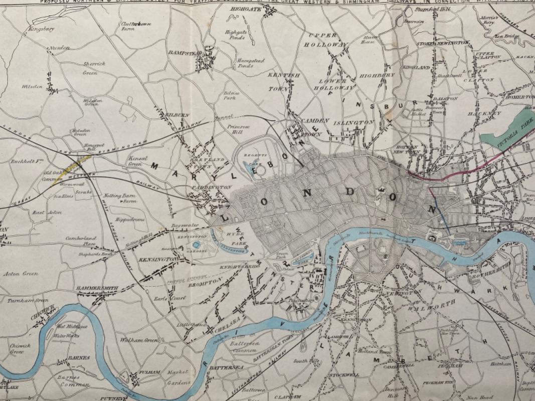
Map of London to show the Proposed Northern and Eastern Outlet for Traffic and Junction of the Great Western and Birmingham Railways
Book Description
Map of the Proposed Northern and Eastern Outlet for Traffic and Junction of the Great Western and Birmingham Railways in connection with the proposed General Terminus in Goodmans Fields Minories engraved by J Arrowsmith. Published by Hansard for the House of Commons 1845. On paper size 65 by 34 cm. Covers an area from the villages of Neasdon and Wilsden (sic.) across to Ilford in the north and from Mortlake across to Woolwich by way of Clapham Common in the south. Some hand-colouring. A map of the whole of London with the railways. Has been folded. Good to VG condition.
Author
Arrowsmith
Date
1845
Publisher
Hansard
Condition
VG
Other books
If you liked the book you've just seen, you might be interested in other books from the same dealer below.
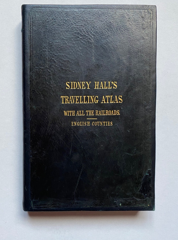
Sydney Hall's Travelling Atlas of the English Coun...
Hall
Chapman and Hall
£375.00
Offered by Arthur Hook
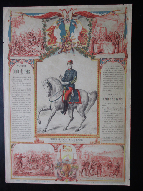
French Royalist Publicity Poster Philippe Comte de...
Philippe Comte de Paris
Thomas and Conferon
£45.00
Offered by Arthur Hook
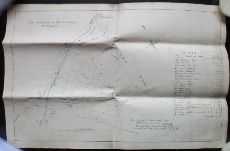
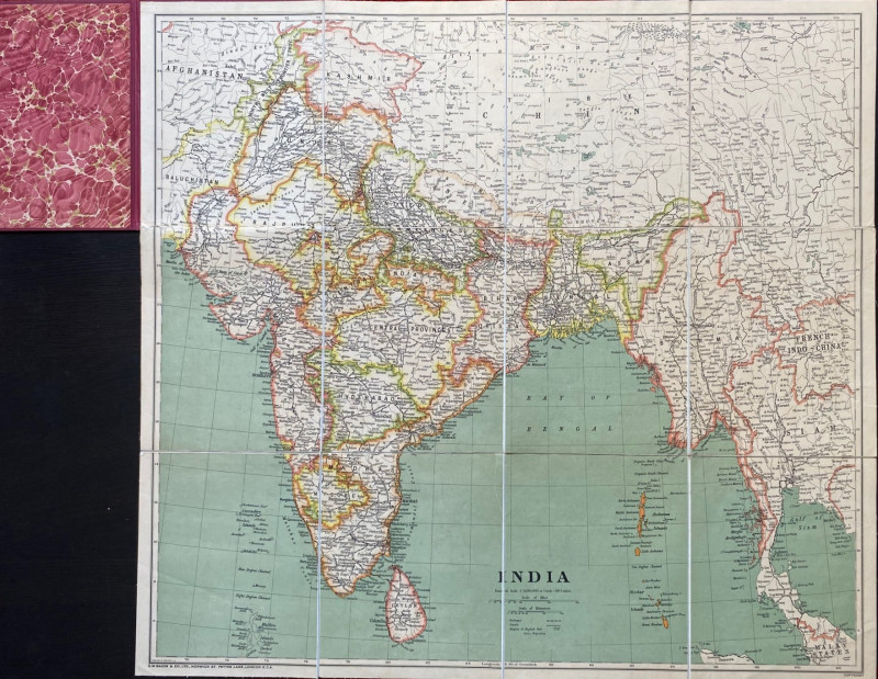
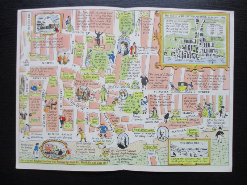
A Map of Brighton “The Queen of Watering Places” f...
Sayer
Strand Magazine
£40.00
Offered by Arthur Hook
Friends of the PBFA
For £10 get free entry to our fairs, updates from the PBFA and more.
Please email info@pbfa.org for more information