Map of a Proposed London Railway 1845

Book Description
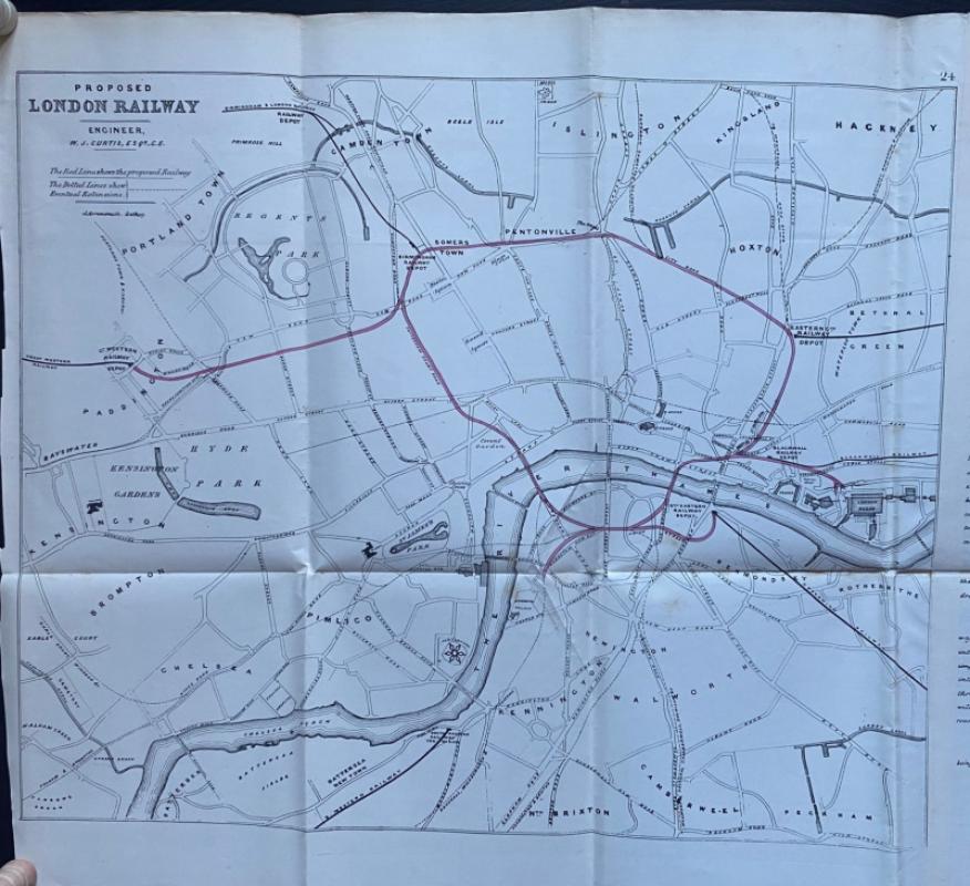
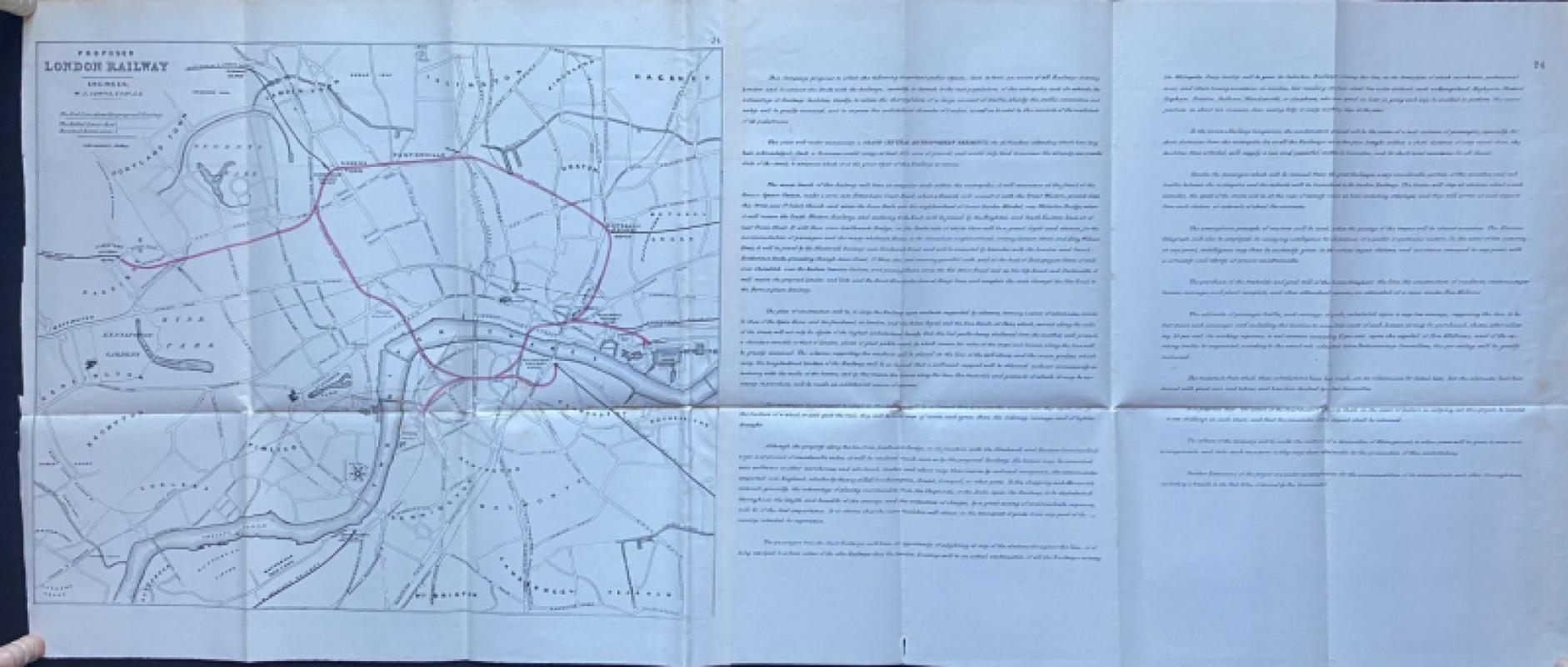
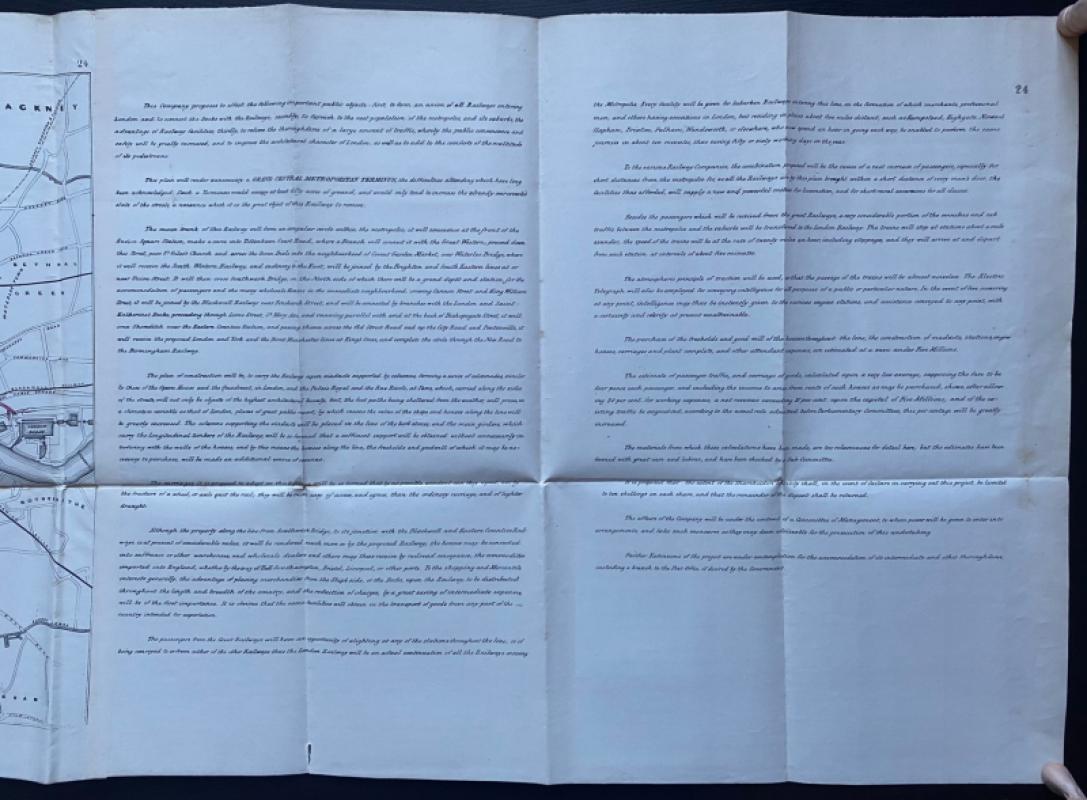
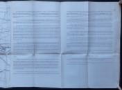
Map of a Proposed London Railway by W J Curtis and published by Hansard for the House of Commons, London 1846. On paper size 103 by 34 cm. with the map image 48 by 34 cm. With a key to proposed new lines and extensions of existing railways. Some hand-colouring. Covers an area from Regents Park across to Hackney in the north and from Parsons Green across to Peckham in the south. London’s docks are shown in the east. The text of Curtis’s plan is included and measures 56 by 45 cm. This makes the case for an alternative to a large central railway terminus in London, an issue that had been concerning the planners, public and ultimately Parliament. As the lines of the various companies converged on the capital from all sides there was a fear that the heart of London would have to be sacrificed to the creation of a major terminus where these lines could meet. Instead Curtis proposed a circular rail line not unlike the route of the early underground that would link the various termini. Has been folded. VG.
Author
Curtis
Date
1845
Publisher
Hansard
Illustrator
Curtis
Condition
VG
Other books
If you liked the book you've just seen, you might be interested in other books from the same dealer below.
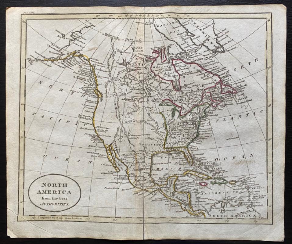
Map of North America from the Best Authorities
Russell
Rivington, Wilkie and others
£100.00
Offered by Arthur Hook
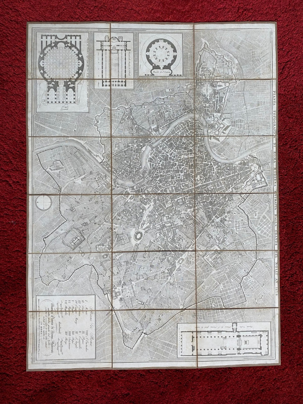
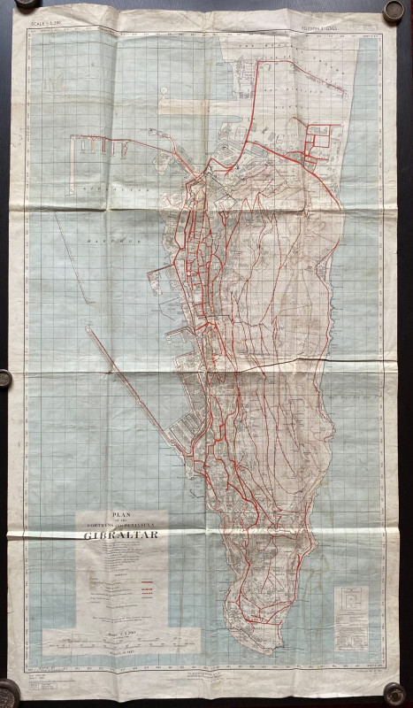
Plan of the Fortress and Peninsula of Gibraltar
British War Office & Air Ministry
British War Office & Air Ministry
£135.00
Offered by Arthur Hook
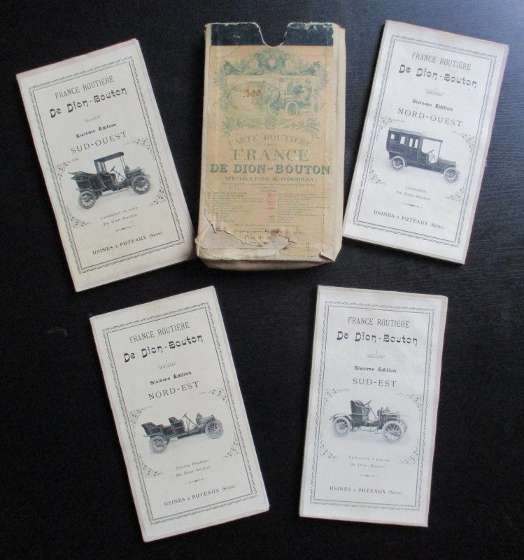
A set of four road maps of France for motorists pu...
De Dion Bouton Puteaux
De Dion Bouton Puteaux
£75.00
Offered by Arthur Hook
Friends of the PBFA
For £10 get free entry to our fairs, updates from the PBFA and more.
Please email info@pbfa.org for more information