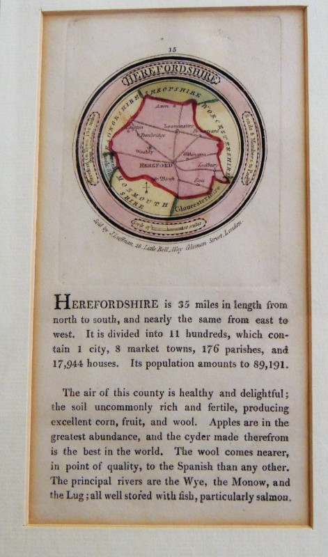
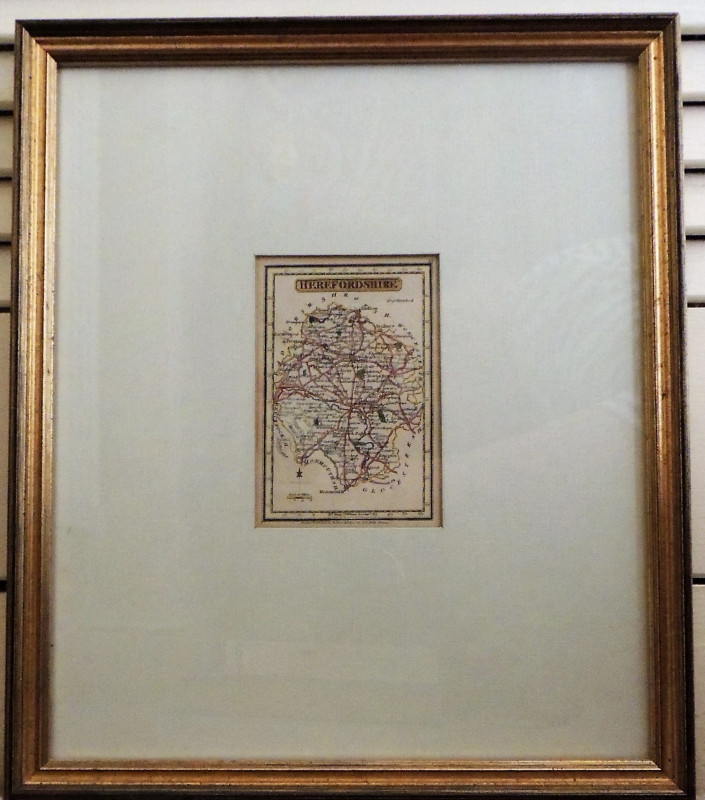
Herefordshire

Book Description
Other books
If you liked the book you've just seen, you might be interested in other books from the same dealer below.
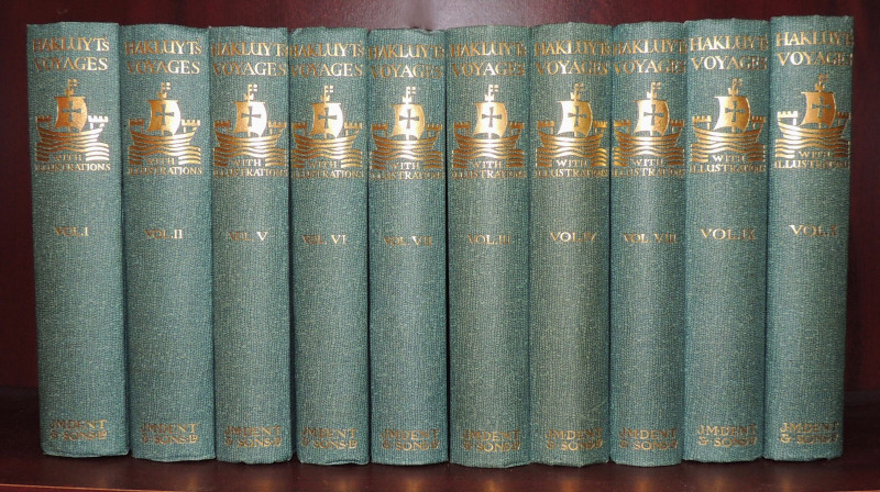
The Principal Navigations Voyages Traffiques & Dis...
Richard Hakluyt
J M Dent and Sons
£350.00
Offered by Paul Haynes Rare Books
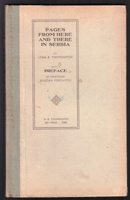
Pages from Here and There in Serbia
Yovitchitch, Lena
S. B. Cvijanovich, Belgrad
£25.00
Offered by Paul Haynes Rare Books
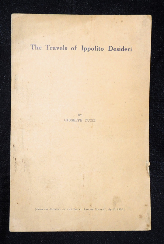
The Travels of Ippolito Desideri
Giuseppe Tucci
Royal Asiatic Society
£15.00
Offered by Paul Haynes Rare Books
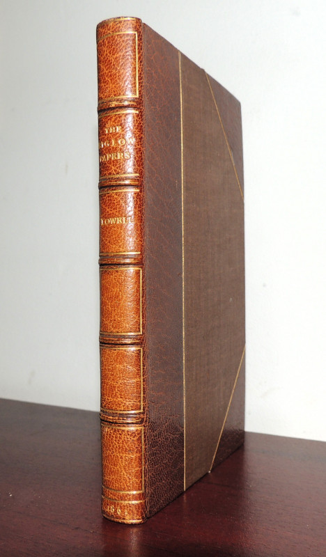
The Biglow Papers
James Russell Lowell
John Camden Hotten, Piccadilly
£75.00
Offered by Paul Haynes Rare Books
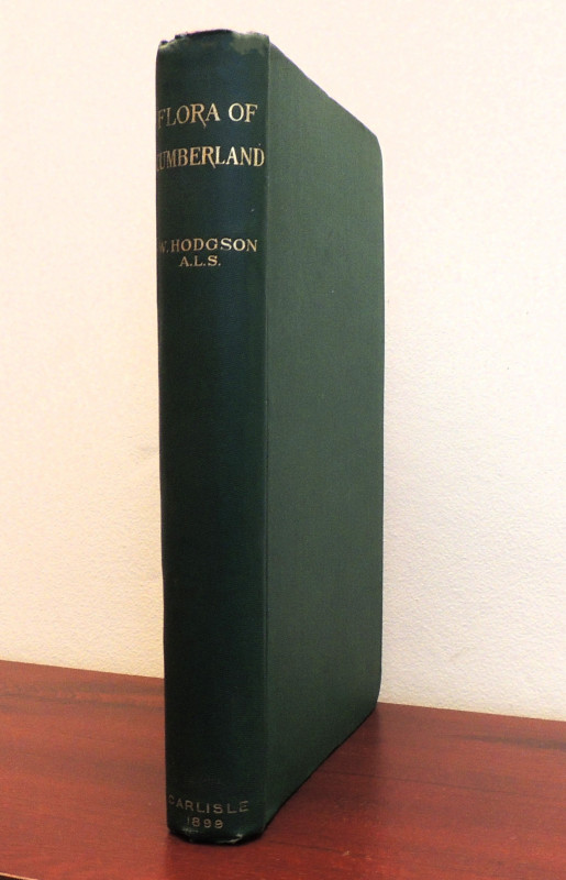
Flora of Cumberland
Hodgson, William
W. Meals and Company. Carlisle
£30.00
Offered by Paul Haynes Rare Books
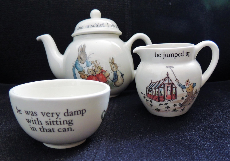
Peter Rabbit tea set
Potter, Beatrix
Wedgewood & Frederick Warne & Co
£20.00
Offered by Paul Haynes Rare Books
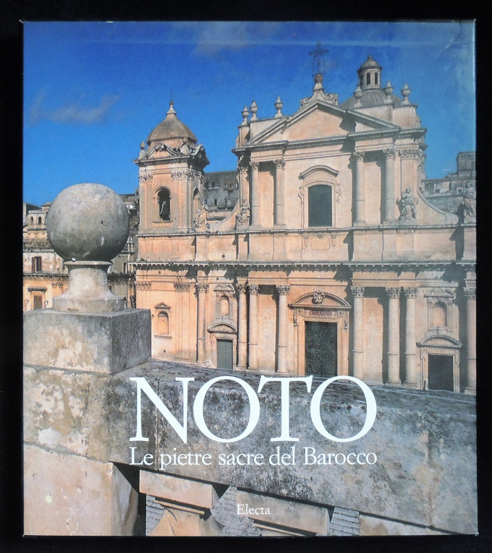
Noto. Le pietre sacre del Barocco
Corrado Sofia
Electa, Milan
£35.00
Offered by Paul Haynes Rare Books
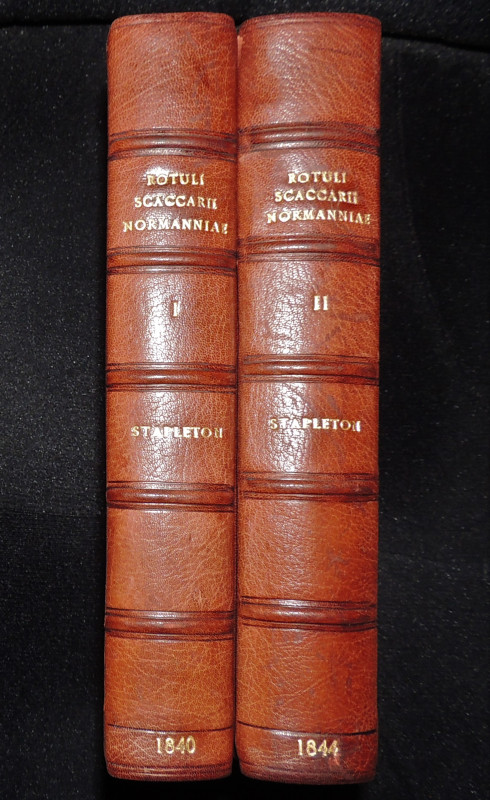
Magni Rotuli Scaccarii Normanniae sub Regibus Angl...
Stapleton, Thomas
Sumptibus Soc. Antiq. Londinensis. Society of Antiquities.
£150.00
Offered by Paul Haynes Rare Books

Friends of the PBFA
Please email info@pbfa.org for more information