BLOMES BRITANNIA


Book Description
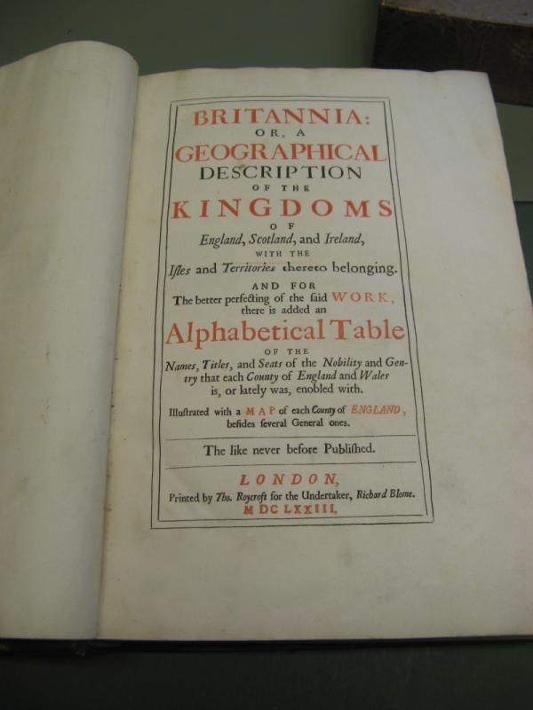
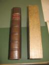
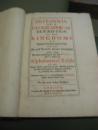
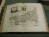
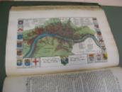
The Richard Blome Britannia County Atlas C1673 is a rare and collectible book containing 48 hand-coloured maps. Bound in leather, this vintage atlas offers a fascinating insight into the geography and history of Britain in the 17th century. Perfect for antique book collectors, historians, and enthusiasts of cartography, this beautifully crafted volume is a valuable addition to any collection.Blome (Richard). Britannia: or a Geographical Description of the Kingdoms of England, Scotland and Ireland with the Isles and Territories thereto belonging....., Illustrated with a Map of each County of England besides Several General Ones. The like never before published, 1st edition, Thomas Roycroft for the Undertaker, Richard Blome, 1673, title page printed in red & black, dedication to Charles II, preface and list of subscribers, twelve engraved sheets of heraldic crests (printed back-to-back) with 812 engraved coats of arms, all with contemporary hand-colouring, folding map of the British Isles minor repairs to folds , forty-eight double-page engraved maps including four folding (North Wales, South Wales minor repair to folds , Scotland and Ireland) and one single page map of London (complete as list), all maps with bright contemporary outline hand colouring, fully leather bound housed in custom made slipcase
Author
RICHARD BLOME
Date
1673
Binding
HARDBACK
Condition
VGC
Other books
If you liked the book you've just seen, you might be interested in other books from the same dealer below.
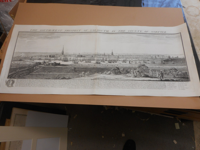
LARGE COPPER PLATE ENGRAVING C1732 PROSPECT OF GRE...
BUCK
BUCK
£250.00
Offered by Claremont Books and Prints
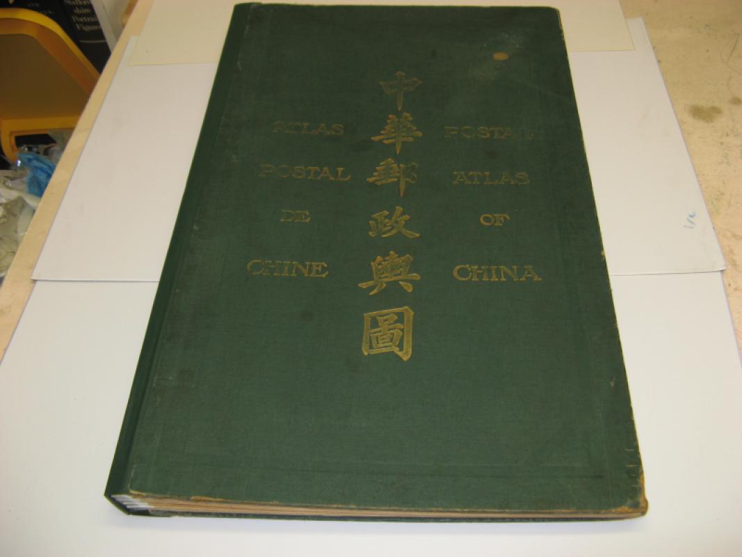
CHINA POSTAL REGIONS ATLAS LARGE FOLIO C1933 30 MA...
CHINA POST OFFICE
£1500.00
Offered by Claremont Books and Prints
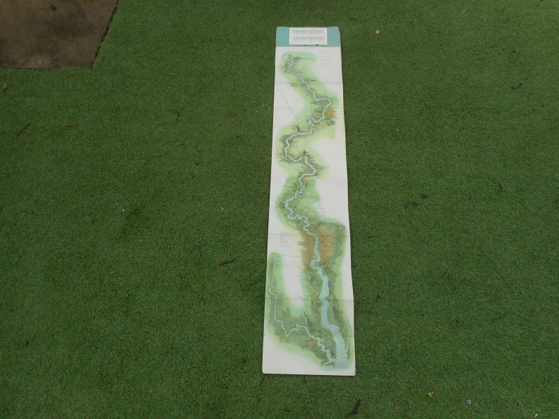
PANORAMIC MAP OF THE RIVER THAMES AND MEDWAY
TOMBLESON
G BACON
£450.00
Offered by Claremont Books and Prints
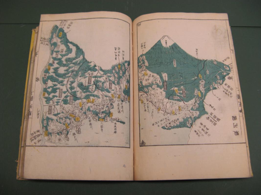
ATLAS OF THE PROVINCES AND COUNTIES OF JAPAN VOLIM...
KOKUGUN ZENZU
£695.00
Offered by Claremont Books and Prints
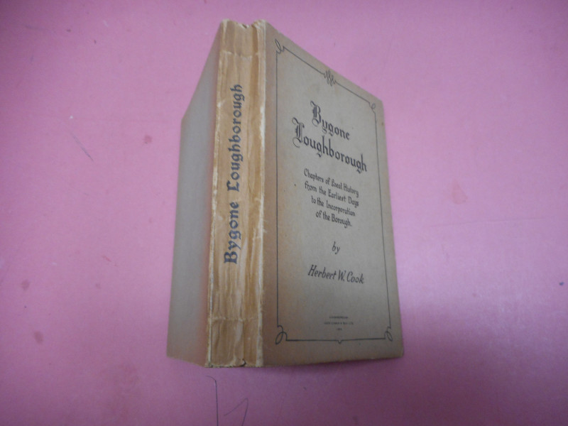
BYGONE LOUGHBOROUGH
HERBERT COOK
JOHN CORAH LOUGHBOROUGH
£15.00
Offered by Claremont Books and Prints
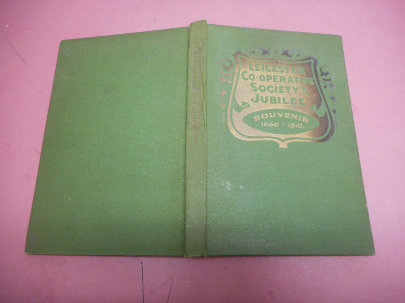
SOCIAL REDEMPTION OF THE FIFTY YEARS OF THE LEICES...
J THOMSON STEPHEN
£9.95
Offered by Claremont Books and Prints
Friends of the PBFA
For £10 get free entry to our fairs, updates from the PBFA and more.
Please email info@pbfa.org for more information