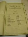
CHINA POSTAL REGIONS ATLAS LARGE FOLIO C1933 30 MAPS


Book Description
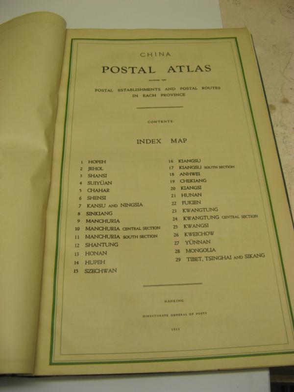
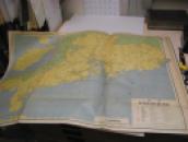
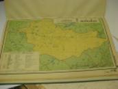
China Postal Atlas showing the establishments and postal routes in each province.
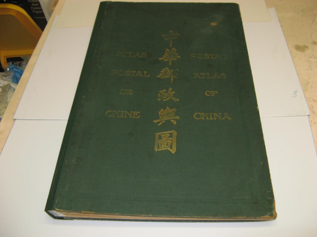
Nanking, Directorate General Posts, 1933. Large folio (62 x 38 cm.). Third edition (2nd edition 1919). "The present issue has been corrected up to various dates in 1933. For the first time, the Postal atlas shows telegraph offices, air-mail lines and motor-vehicle routes" (from Preface). Original green cloth with title lettering in gilt on upper cover.
Three preliminary leaves in Chinese, the preface is in Chinese, English and French, and the double page title/map index is in Chinese and English.
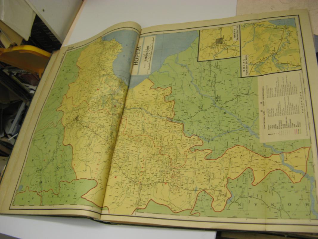
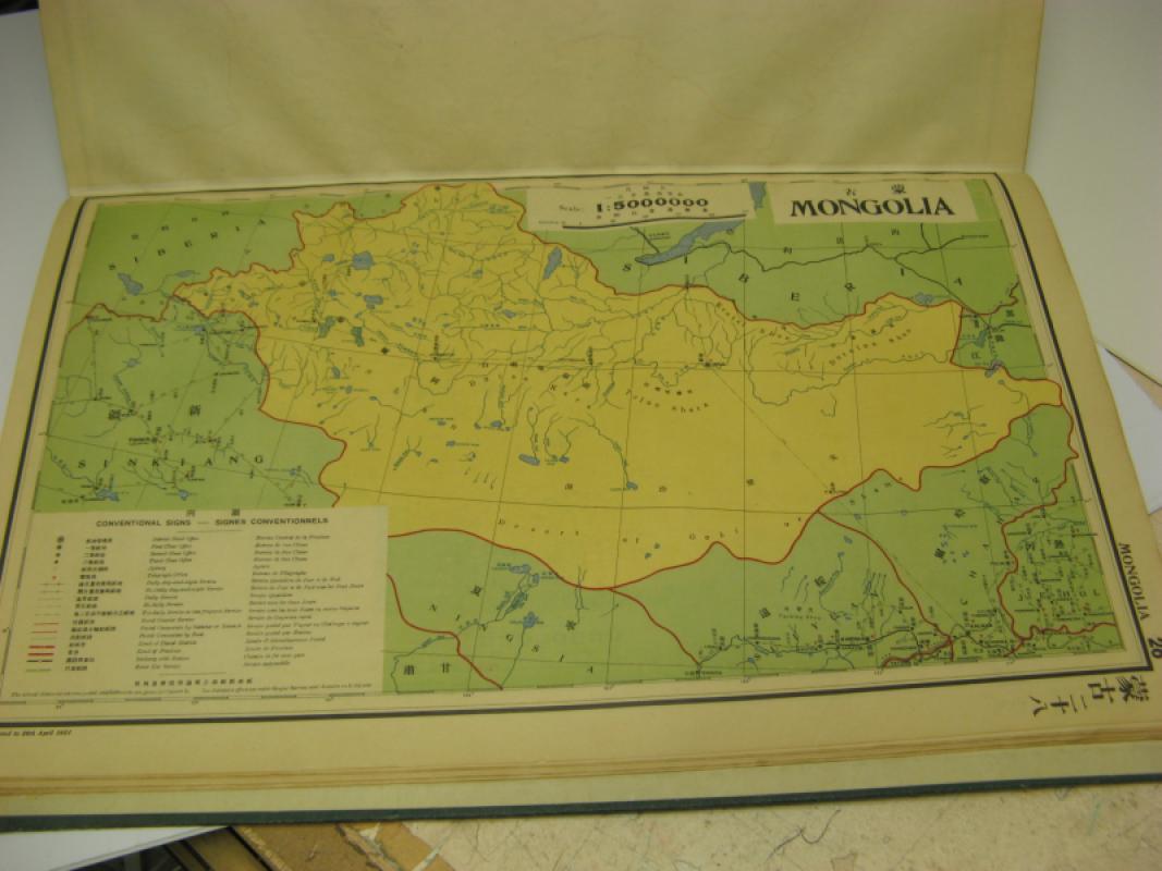
30 chromolithographs: double page index map, 26 double page maps (6 with fold-outs), 4 single page maps. 6 page index in Chinese and 2 page index in English.spine and map hinges skillfully rebound The text is very clean and bright and appears to have been little used if at all. The condition of the text is Very Good . A very scarce/rare item containing much source material about transportation routes and communications from that period. "The entire work, with the exception of the printing, has been carried out by the staff of the Chinese Post Office." (Preface).
Author
CHINA POST OFFICE
Binding
HARDBACK
Condition
VGC
Other books
If you liked the book you've just seen, you might be interested in other books from the same dealer below.
LEICESTER AND COUNTY CHAMBER OF COMMERCE CENTENARY...
RAITHBY LAWRENCE
£25.00
Offered by Claremont Books and Prints
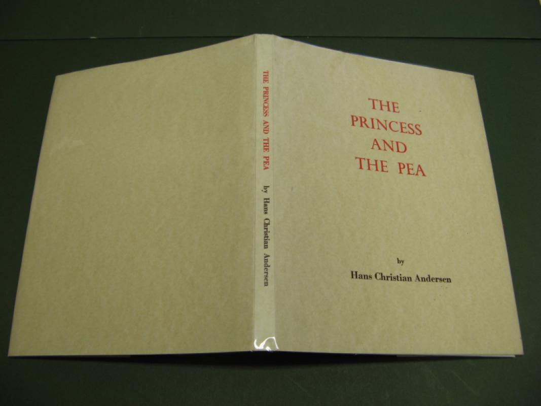
PRINCESS AND THE PEA
HANS CHRISTIAN ANDERSON
KEN FERGUSON
£95.00
Offered by Claremont Books and Prints
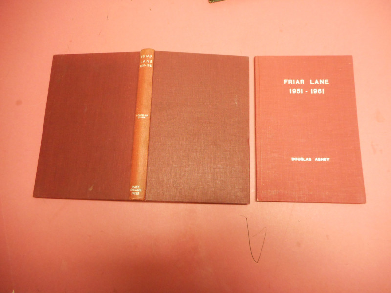
FRIAR LANE 1651-1951 AND 1951-1961
DOUGLAS ASHBY
CAREY KINGSGATE
£20.00
Offered by Claremont Books and Prints
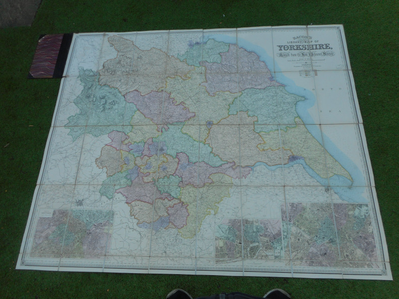
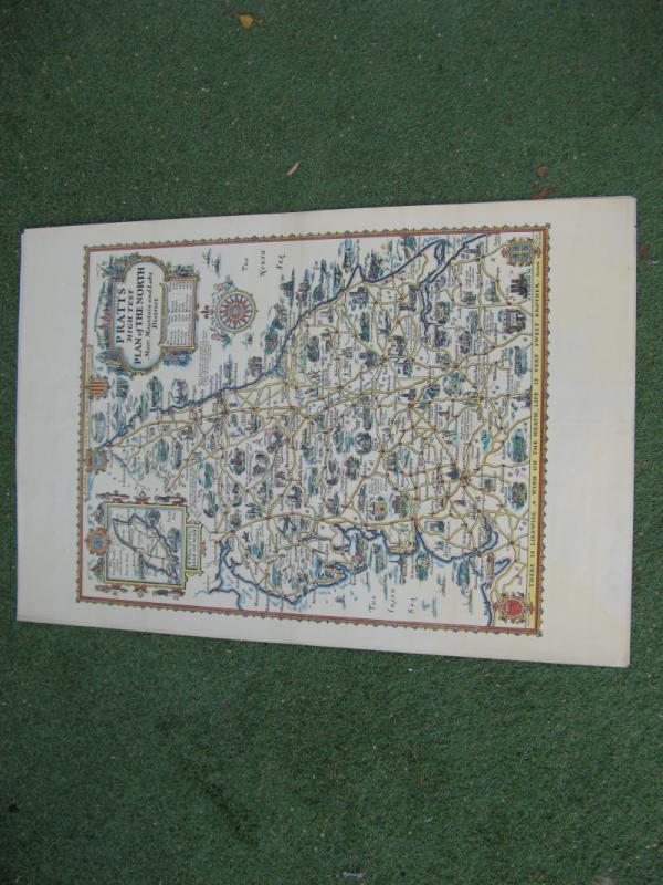
LARGE SCALE YORKSHIRE COMMERCIAL AND LIBRARY MAP
G BACON
BACON
£195.00
Offered by Claremont Books and Prints
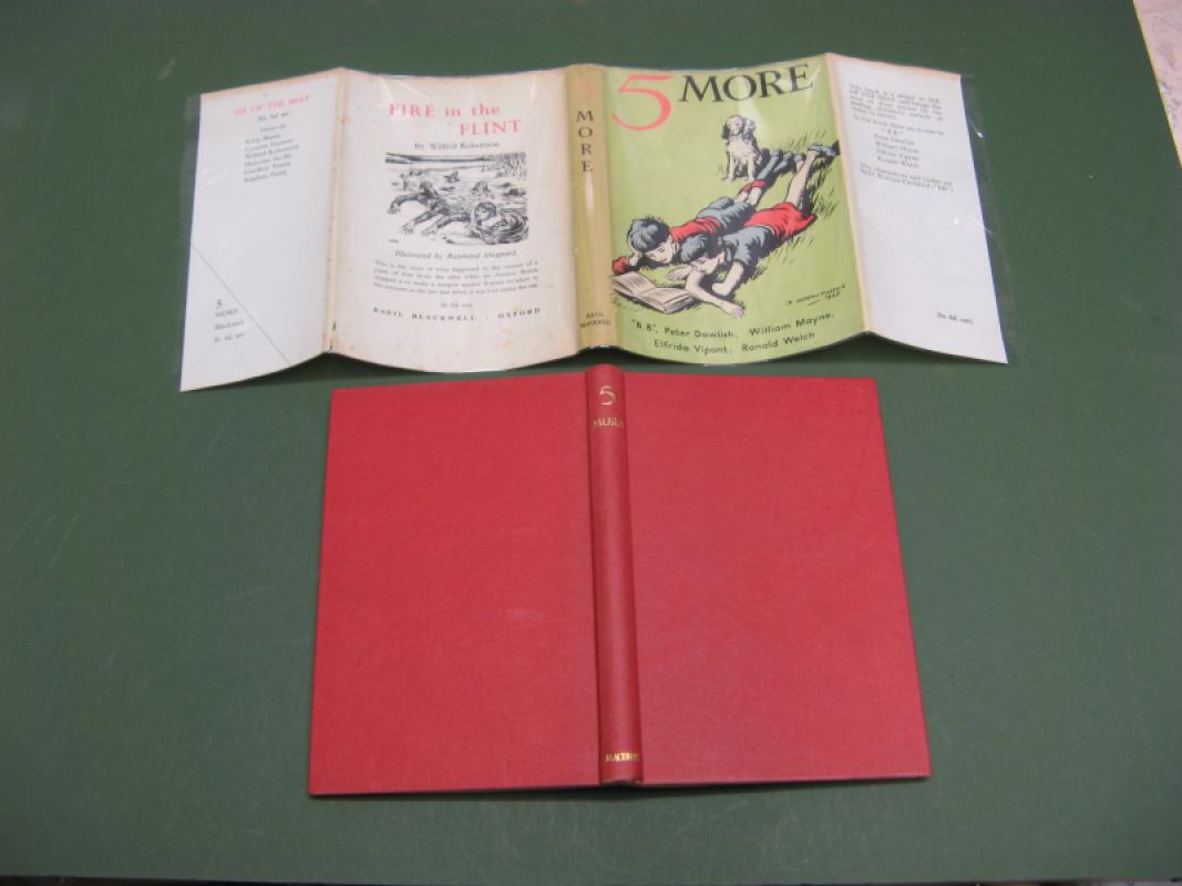
5 MORE SIGNED BY WILLIAM MAYNE !!
BB WILLIAM MAYNE
BASIL BLACKWELL
£250.00
Offered by Claremont Books and Prints
Friends of the PBFA
For £10 get free entry to our fairs, updates from the PBFA and more.
Please email info@pbfa.org for more information