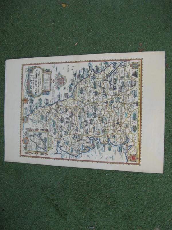
PRATTS HIGH TEST MAP OF NORTHERN ENGLAND
Book Description
The product is a vintage 1932 map titled "Pratts High Test plan of the North. Moor, Mountain & Lake District" by Taylor AE. The map, measuring approximately 62.0 x 49.0cm or 24.25 x 19.25 inches, features detailed information about the Moor, Mountain & Lake District iN England. Printed on paper, this original map published by anglo american petroleum company topograhical text to verso the beauty and topography of the region during the time period of 1925-1949. With its historical significance and precise cartography, this map would make a valuable addition to any art or vintage collection.good condition minor archival tape to folds
Author
A TAYLOR
Date
1932
Binding
MAP
Publisher
AA
Condition
GOOD
Other books
If you liked the book you've just seen, you might be interested in other books from the same dealer below.
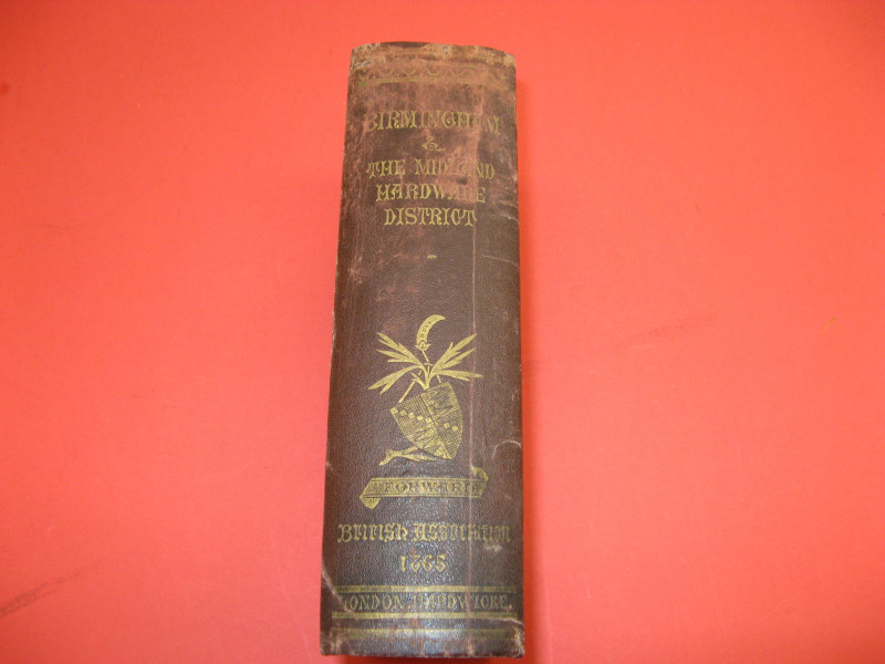
INDUSTRIAL HISTORY OF BIRMINGHAM AND THE MIDLAND H...
SAMUEL TIMMINS
£150.00
Offered by Claremont Books and Prints
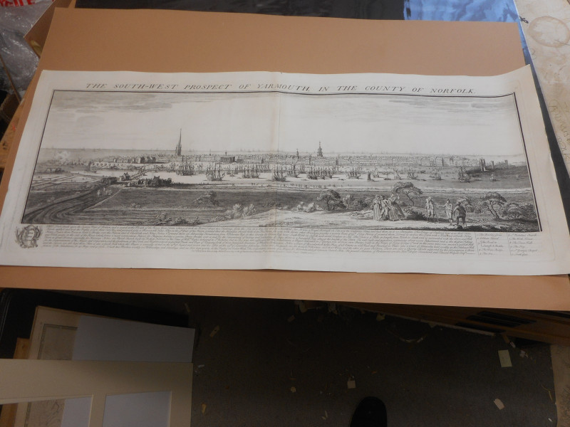
LARGE COPPER PLATE ENGRAVING C1732 PROSPECT OF GRE...
BUCK
BUCK
£250.00
Offered by Claremont Books and Prints
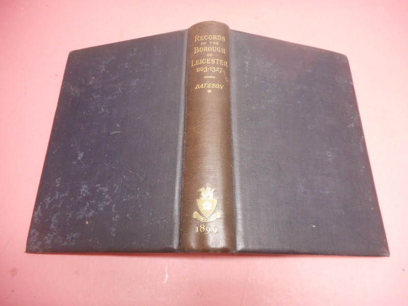
RECORDS OF THE BOROUGH OF LEICESTER 1103 - 1327
BATESON
C J CLAY
£30.00
Offered by Claremont Books and Prints
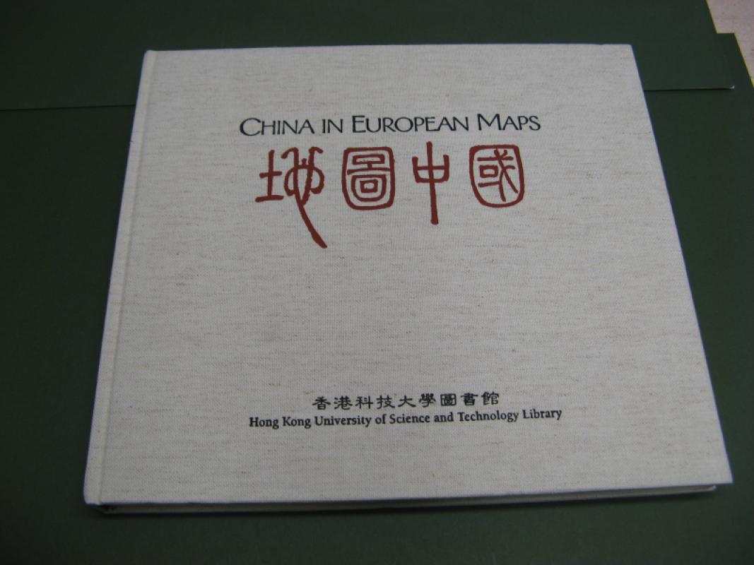
CHINA IN EUROPEAN MAPS A LIBRARY SPECIAL COLLECTIO...
MIN MIN CHANG
HONG KONG UNIVERSITY
£95.00
Offered by Claremont Books and Prints
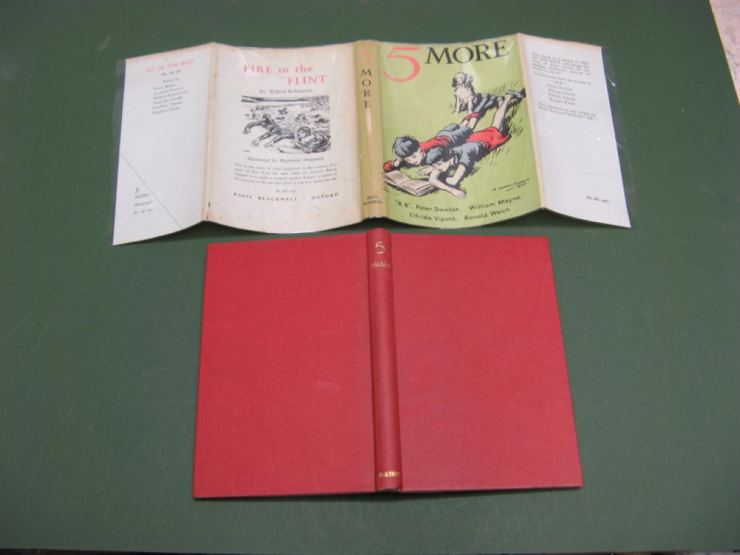
5 MORE SIGNED BY WILLIAM MAYNE !!
BB WILLIAM MAYNE
BASIL BLACKWELL
£250.00
Offered by Claremont Books and Prints
Friends of the PBFA
For £10 get free entry to our fairs, updates from the PBFA and more.
Please email info@pbfa.org for more information