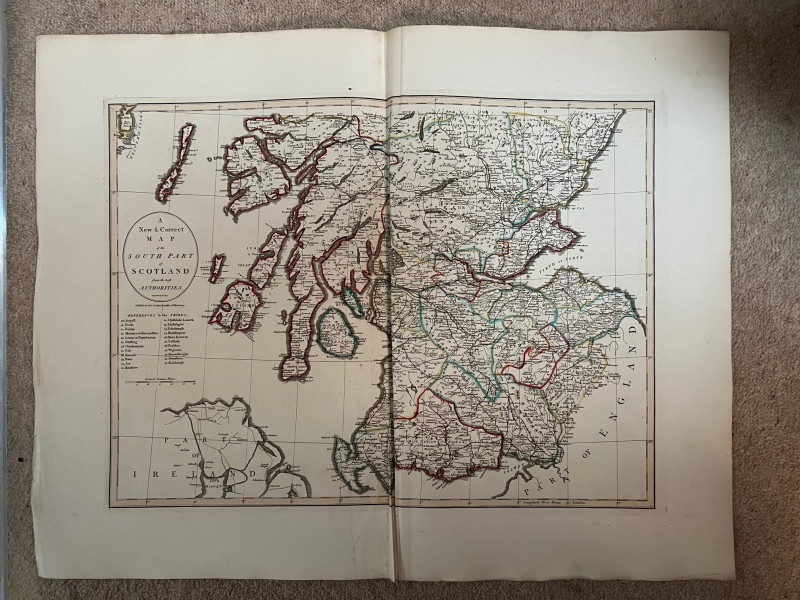
An New and Correct Map of the South Part of Scotland from the Best Authorities


Book Description
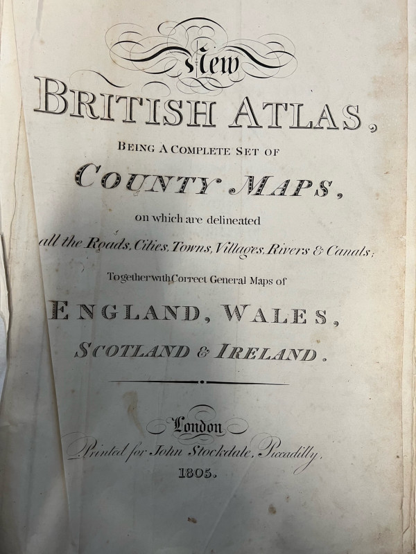
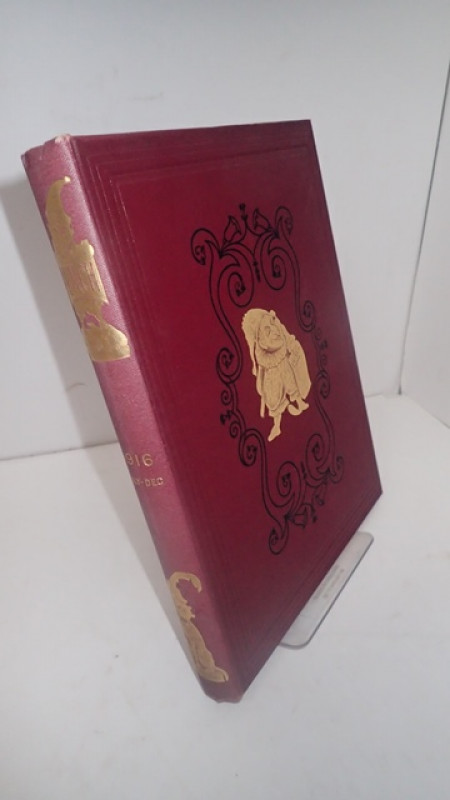
An individual map taken from the "New British Atlas, Being a Complete Set of County Maps, on which are Delineated All the Roads, Cities, Towns, Villages, Rivers & Canals Together with Correct General Maps of England, Wales, Scotland and Ireland" which was published by John Stockdale, 26th March 1805. Engraved by John Cary. The image is 380 x 520 mm. Multi-creased at centre fold otherwise very good. Most other maps available at £45. Additional photos are available upon request. When securely packed this item will weigh in the region of 500g. (YBP Ref: 032143:15)
Dealer Notes
To contact us about this item use 07765 455186 or sales@yattonbookshop.co.uk.
Author
CARY, John
Date
1805
Binding
Not Bound
Publisher
John Stockdale
Illustrator
CARY, John
Condition
Very Good Minus
Pages
1
Other books
If you liked the book you've just seen, you might be interested in other books from the same dealer below.
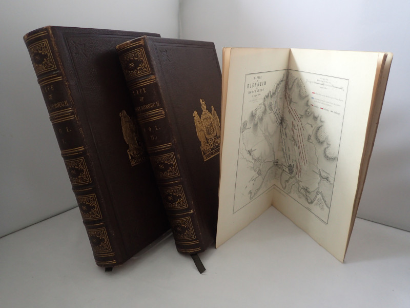
The Life of John Duke of Marlborough with some Acc...
ALISON, Archibald
William Blackwood and Sons
£75.00
Offered by Yatton Books & Prints
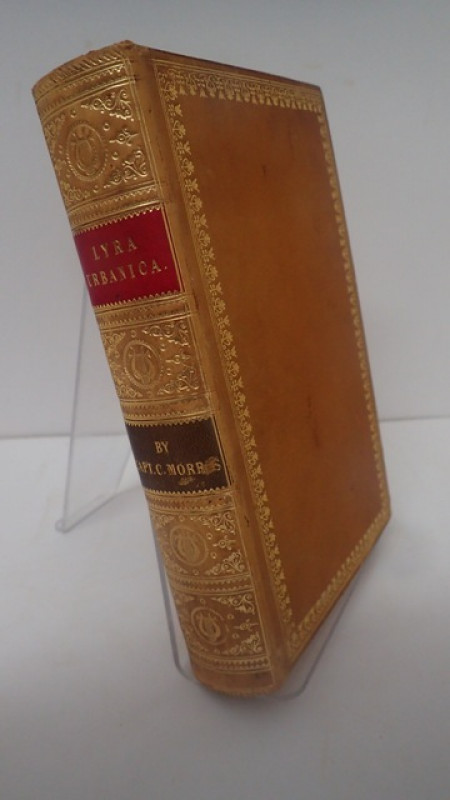
Lyra Urbanica or The Social Effusions of the Celeb...
MORRIS, Charles (Captain)
Richard Bentley
£250.00
Offered by Yatton Books & Prints
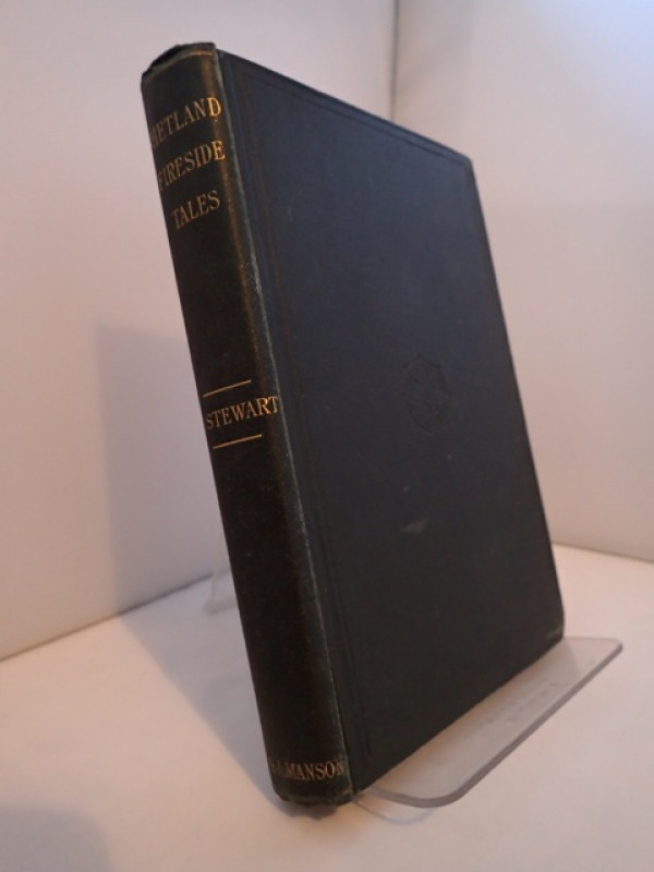
Shetland Fireside Tales or, the Hermit of Trosswic...
STEWART, George
T & J Manson, Lerwick
£130.00
Offered by Yatton Books & Prints
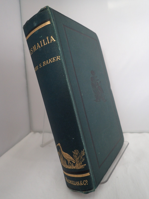
Ismailia: A Narrative of the Expedition to Central...
BAKER, Samuel W
Macmillan and Co
£48.00
Offered by Yatton Books & Prints
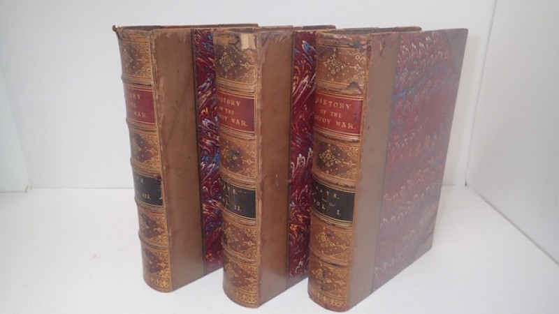
A History of the Sepoy War in India 1857-1858
KAYE, John William
W H Allen & Co, London
£275.00
Offered by Yatton Books & Prints
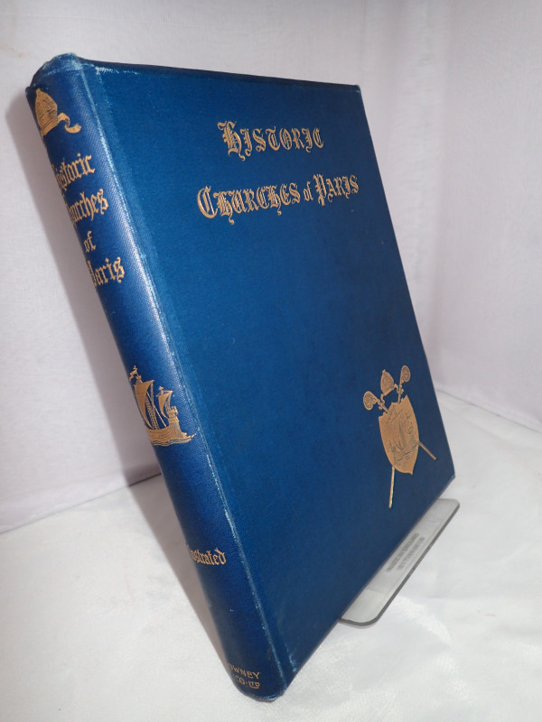
Historic Churches of Paris
LONGERAN, Walter F
Downey & Co, London
£40.00
Offered by Yatton Books & Prints
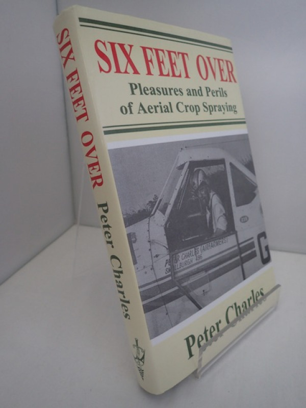
Six Feet Over: Pleasures and Perils of Aerial Crop...
CHARLES, Peter
United Writers
£30.00
Offered by Yatton Books & Prints
Friends of the PBFA
For £10 get free entry to our fairs, updates from the PBFA and more.
Please email info@pbfa.org for more information