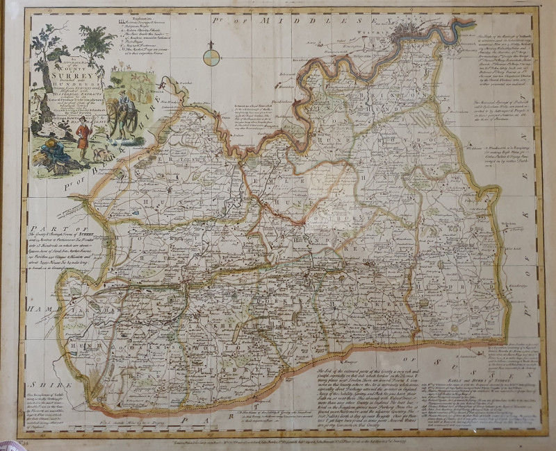
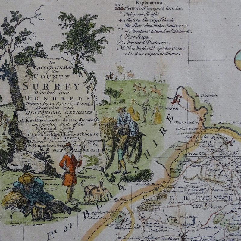
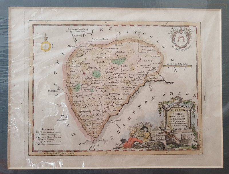
AN ACCURATE MAP OF THE COUNTY OF SURREY DIVIDED INTO HUNDREDS
Book Description
Other books
If you liked the book you've just seen, you might be interested in other books from the same dealer below.
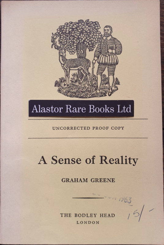
[PROOF COPY]
Greene, Graham. A Sense Of Reality.
The Bodley Head,
£50.00
Offered by Alastor Rare Books
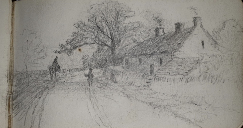
[Martin, F].
[A MANUSCRIPT SKETCHBOOK OF SCENES IN THE PEAK DISTRICT & CWMDALE, SHROPSHIRE]
£80.00
Offered by Alastor Rare Books
De Annulis Liber Singularis [Bound with] Longi, Ge...
[BINDING; A LATIN TRACTATUS ON THE HISTORY AND SIGNIFICANCE OF THE RING]. Kirchmann, Johann.
Lugd[unum] Batav[orum] i.e.Leiden. Apud Hackios:
£380.00
Offered by Alastor Rare Books
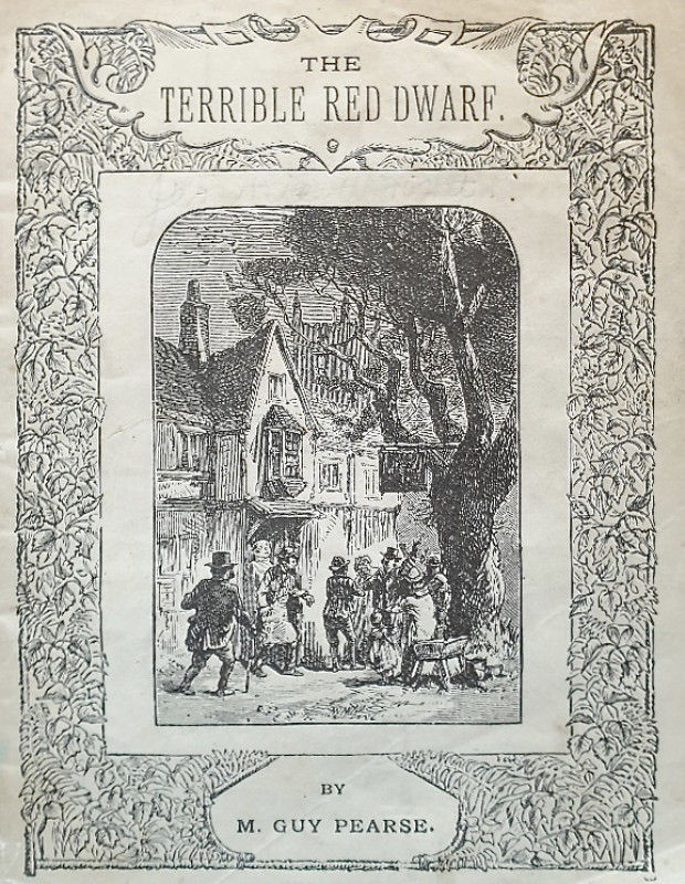
The Terrible Red Dwarf.
Pearce, M[ark] Guy.
[London]: Chas H. Kelly, 2, Castle St. City Road., E.C.
£25.00
Offered by Alastor Rare Books
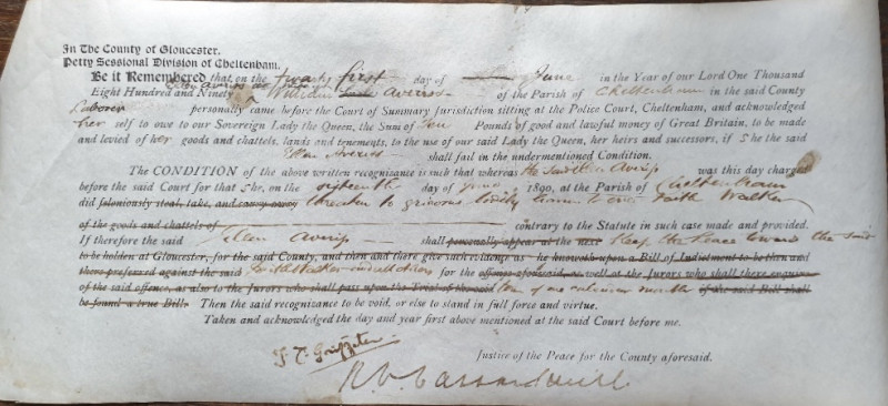
[WOMEN; WOMEN IN THE CRIMINAL JUSTICE SYSTEM].
[Victorian Court Judgement And Binding Over To Keep The Peace Order].
[s.i.],
£30.00
Offered by Alastor Rare Books
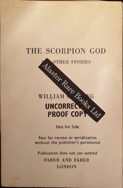
[UNCORRECTED PROOF COPY] The Scorpion God And othe...
Golding, William.
London: Faber & Faber,
£40.00
Offered by Alastor Rare Books
AN ACCURATE MAP OF THE COUNTY OF SURREY DIVIDED IN...
Emanuel and Thomas Bowen
Printed for Carington Bowles
£350.00
Offered by Alastor Rare Books
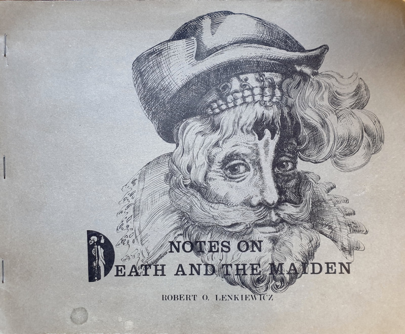
Notes On Death And The Maiden.
[ARTISTS BOOK]. Lenkiewicz, Robert.O.
[Plymouth, England]: [By the author],
£150.00
Offered by Alastor Rare Books
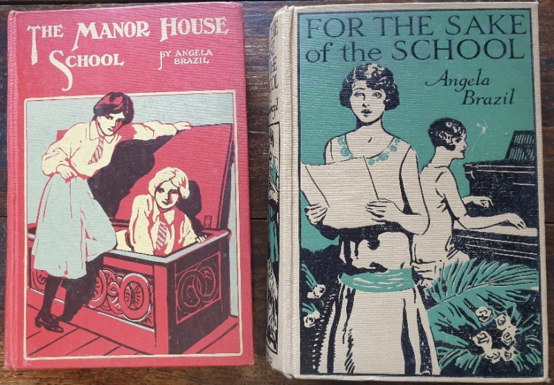
For The Sake Of School [And] The Manor House Schoo...
Brazil, Angela.
London & Glasgow: Blackie.
£25.00
Offered by Alastor Rare Books
Friends of the PBFA
Please email info@pbfa.org for more information