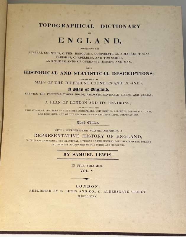
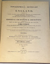
A Topographical Dictionary of England...a Supplementary volume, comprising a Representative History of England, with plans describing the Electoral Divisions of the Several Counties, and the Former and Present Boundaries of the Cities and Boroughs.
Book Description
Dealer Notes
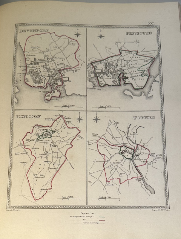
of 1832, showing the redrawn boundaries to towns, cities and counties. It was issued as volume five of
Lewis's Topographical Dictionary which included only an earlier set of country maps, though as here volume five has
a completely independent existence. Historically valuable and an excellent copy of a work all too
often broken up.
Other books
If you liked the book you've just seen, you might be interested in other books from the same dealer below.

VAUGHAN WILLIAMS CONDUCTING SCORE OF PALESTRINA CH...
VAUGHAN WILLIAMS, RALPH
£1500.00
Offered by J & S Wilbraham
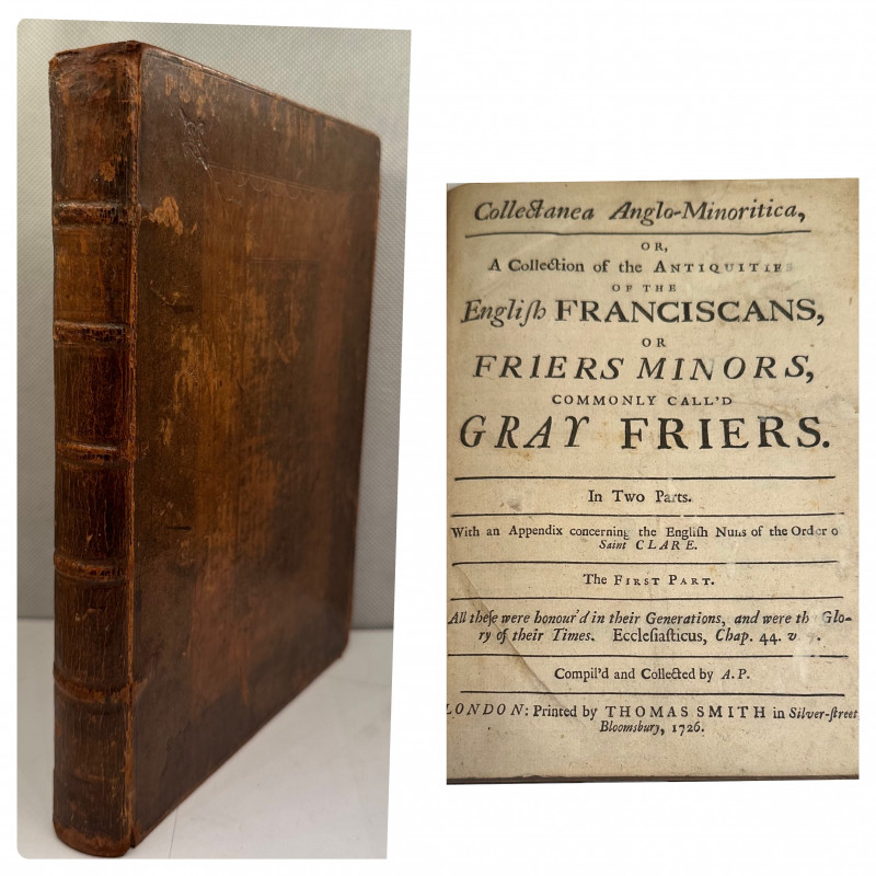
Collectanea Anglo-Minoritica, or A Collection of t...
PARKINSON, ANTHONY.
London, Thomas Smith,
£200.00
Offered by J & S Wilbraham
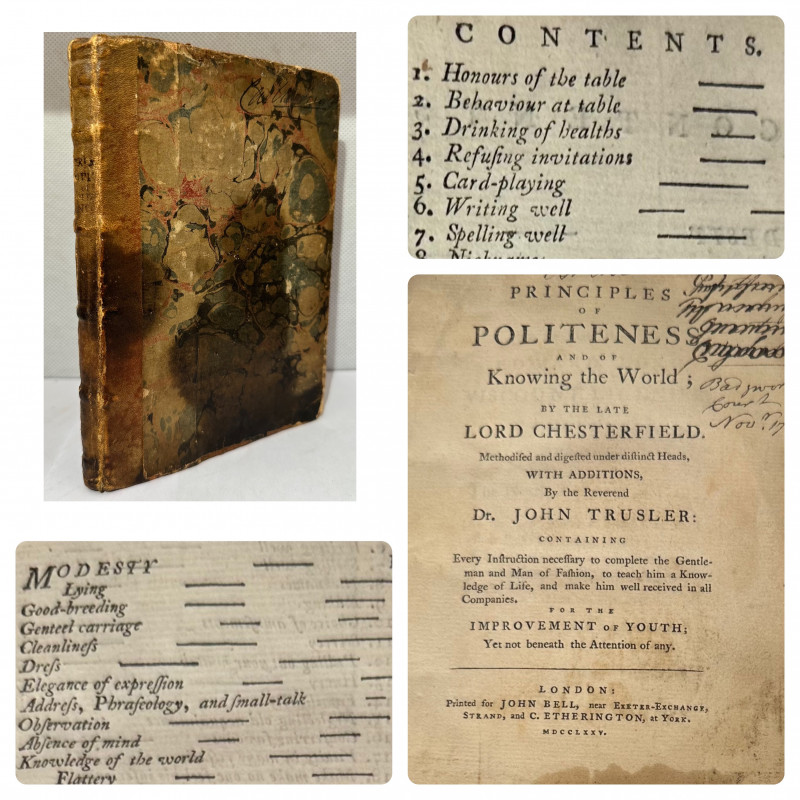
Principles of Politeness, and of Knowing the World...
TRUSLER, JOHN - LORD CHESTERFIELD.
London, John Bell/C Etheringtron, York,
£175.00
Offered by J & S Wilbraham
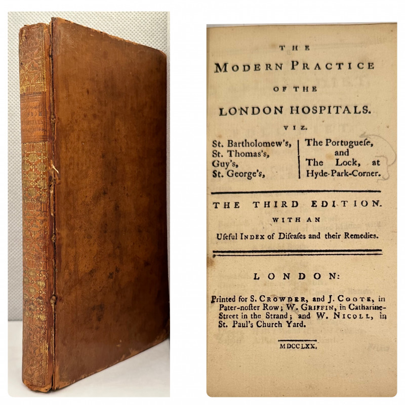
The Modern Practice Of The London Hospitals Viz. S...
LONDON HOSPITALS - RECIPES
London: Printed for S. Crowder, And J. Coote and others,
£150.00
Offered by J & S Wilbraham
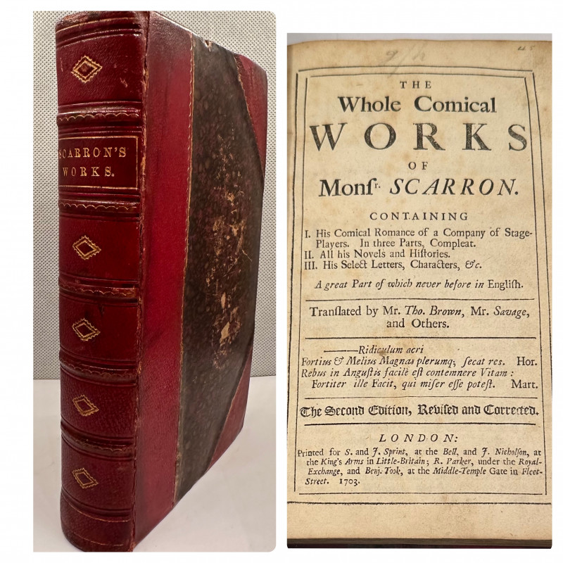
The Whole Comical Works of Monsr Scarron. Containi...
SCARRON, PAUL.
London, S.& J. Sprint [and others]
£120.00
Offered by J & S Wilbraham
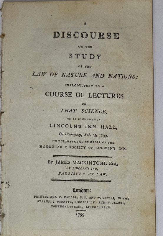
A Discourse on the Study of the Law of Nature and...
MACKINTOSH, JAMES.
London, T Cadell [and others],
£100.00
Offered by J & S Wilbraham
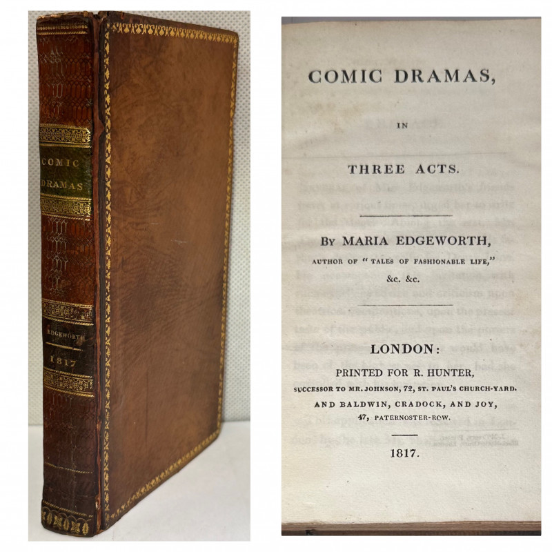
Comic Dramas, in Three Acts.
EDGEWORTH, MARIA [CHARLOTTE EATON'S COPY] .
London, R Hunter,
£75.00
Offered by J & S Wilbraham
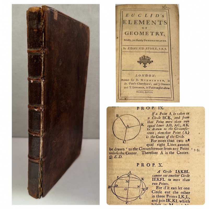
Euclid’s Elements of Geometry, briefly, yet plainl...
EUCLID - EDMUND STONE
London, for D. Midwinter; and J. Osborn and T. Longman.
£200.00
Offered by J & S Wilbraham
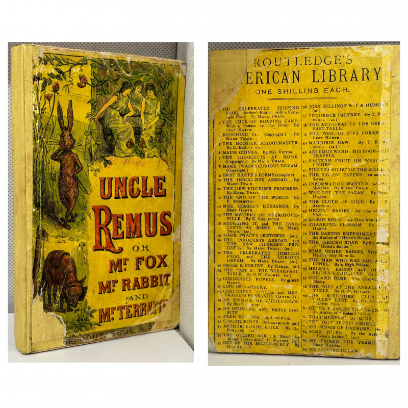
Uncle Remus, or, Mr. Fox, Mr. Rabbit, and Mr. Terr...
HARRIS, JOEL CHANDLER.
London, George Routledge,
£125.00
Offered by J & S Wilbraham
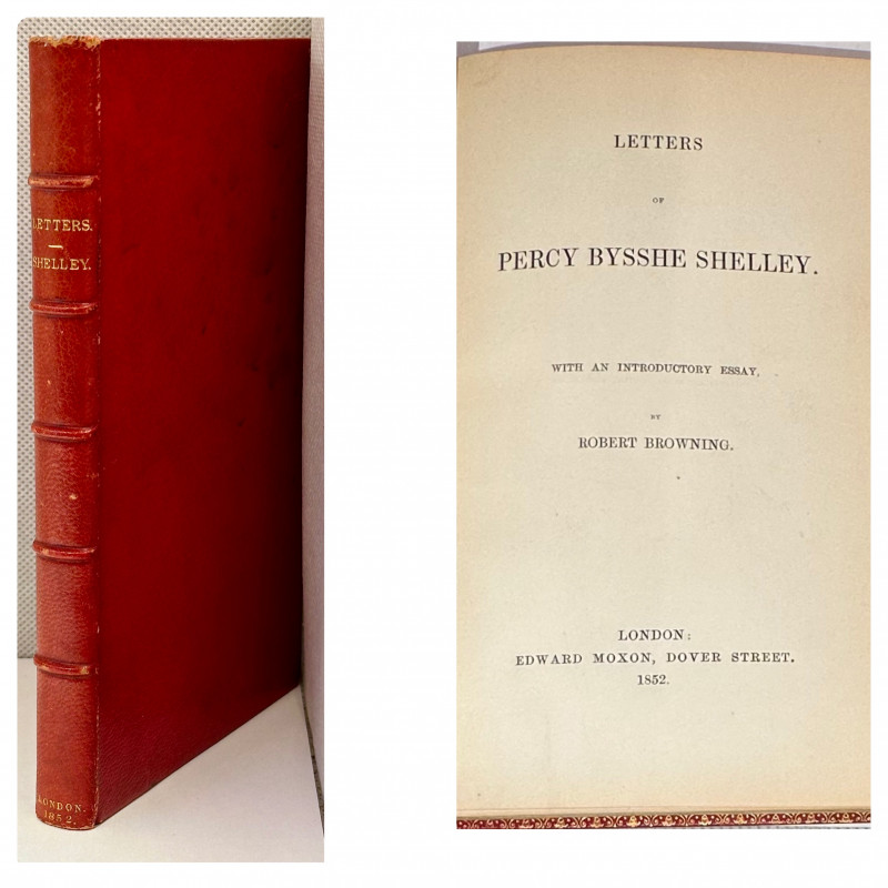
Letters of Percy Bysshe Shelley. With an Introduct...
SHELLEY, PERCY BYSSHE
London, Edward Moxon.
£400.00
Offered by J & S Wilbraham
Friends of the PBFA
Please email info@pbfa.org for more information