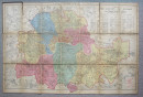
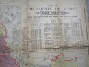
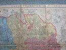
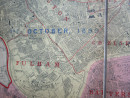
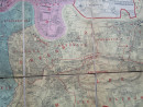
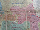
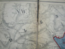
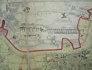
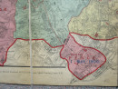
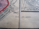
1899 MAP of LONDON Showing the 1897 LAND TRANSFER ACT

Book Description
Dealer Notes
AN ACCEPTABLE EXAMPLE OF THIS SCARCE ISSUE OF THIS VICTORIAN LONDON MAP
Other books
If you liked the book you've just seen, you might be interested in other books from the same dealer below.
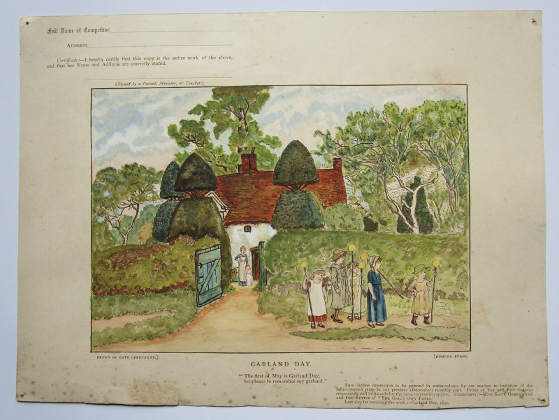
GARLAND DAY by KATE GREENAWAY
Painting Competition illustration
a Victorian competition piece for children to colour in and enter it for a possible prize money win. 1891
£20.00
Offered by Andrew Cox
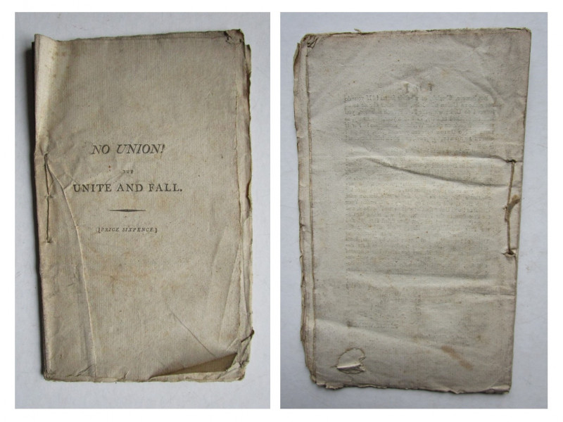
IRELAND No Union But Unite and Fall
John Fitzgibbon, Earl of Clare
W.J & J Richardson
£450.00
Offered by Andrew Cox
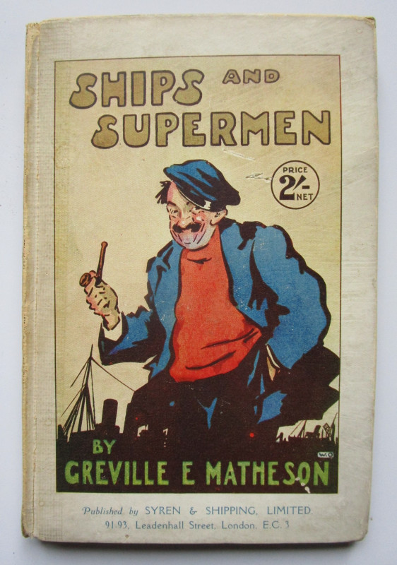
Ships and Supermen
Greville E. Matheson,
Signed Presentation Copy from The Author to the illustrator
£175.00
Offered by Andrew Cox
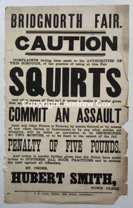
1880 Public Nuisance Broadside, The Use of Squirts...
Hubert Smith
R. H. Evans, Bridgnorth, Shropshire.
£175.00
Offered by Andrew Cox
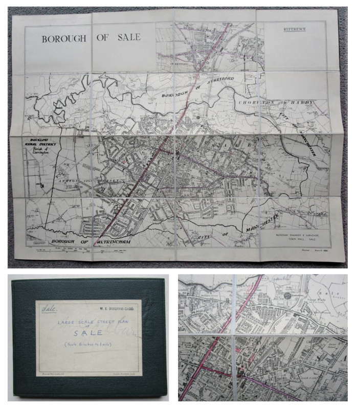
LARGE SCALE STREET PLAN OF SALE
W. E. Bingham-Gadd, Borough Engineer & Surveyor,
Trafford, Greater Manchester
£75.00
Offered by Andrew Cox
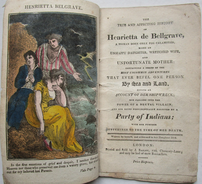
The True and affecting history of Henrietta de Bel...
Henrietta de Bellgrave
J Bailey
£450.00
Offered by Andrew Cox
Friends of the PBFA
Please email info@pbfa.org for more information