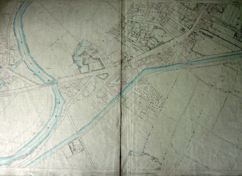
SHEFFIELD 1849 Ordnance Survey Map 5 feet to the mile. SHEET 15 Attercliffe cum Darnall
Book Description
Other books
If you liked the book you've just seen, you might be interested in other books from the same dealer below.
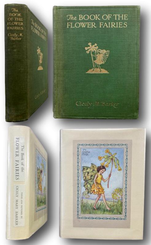
THE BOOK OF THE FLOWER FAIRIES Poems and Pictures...
BARKER, Cicely Mary Barker [1895-1973]
London Blackie & Sons ND c.1930
£195.00
Offered by John L Capes
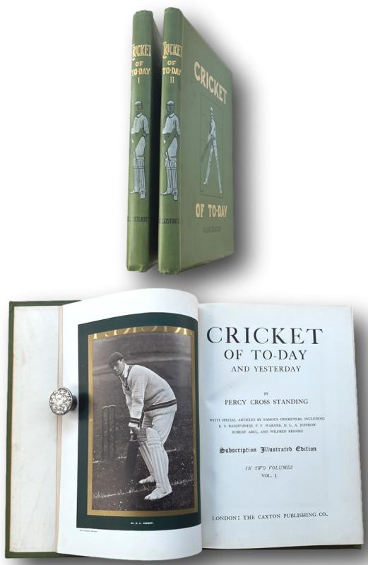
CRICKET OF TO-DAY AND YESTERDAY by
STANDING, Percy Cross
London The Caxton Publishing Co.(1902)
£165.00
Offered by John L Capes
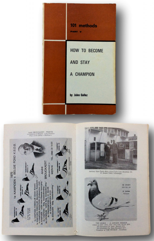
PIGEON RACING " How to Become and Stay a Champion"...
GALLEZ Jules. [Trans from the Flemish by M.Monsees]
BELGIUM Vanhoutte Hooglede 1974
£25.00
Offered by John L Capes
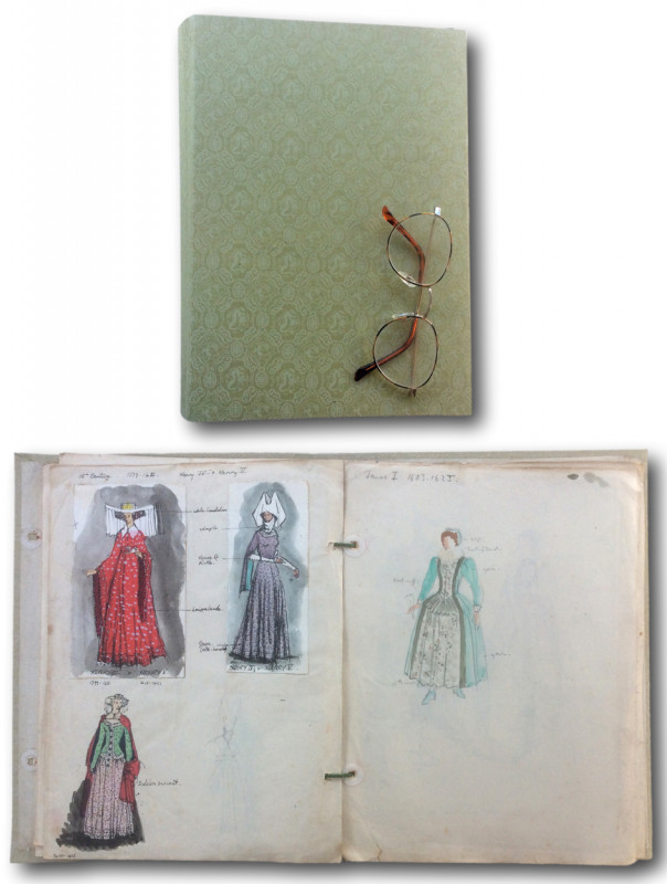
The Chronological Development of English Fashion f...
Author unknown
No Place. ND c.1950's
£200.00
Offered by John L Capes
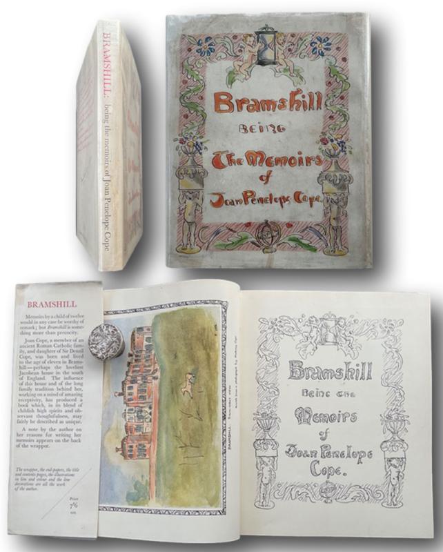
Bramshill: Being the Memoirs of Joan Penelope Cope
COPE, Joan Penelope (1926–1991) aka Lady J.P. Grant
LONDON Constable and Company Ltd,
£90.00
Offered by John L Capes
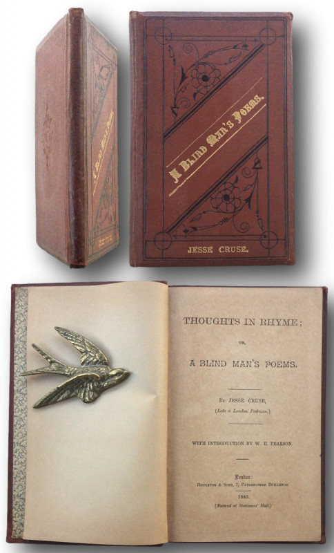
THOUGHTS IN RHYME ; or A Blind Man's Poems
CRUSE, Jesse ( Late a London Postman )
London : Houlston & Sons, Paternoster Buildings 1883
£95.00
Offered by John L Capes
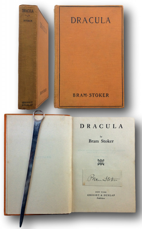
DRACULA "Signed by the author"
Stoker, Bram. [1847-1912]
NEW YORK: Grosset & Dunlap 1927
£1500.00
Offered by John L Capes
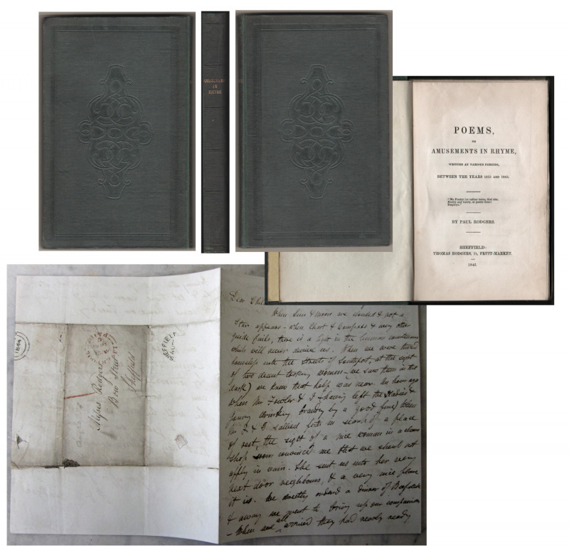
POEMS,or AMUSEMENTS IN RHYME,written at various pe...
Rodgers, Paul. [Sheffield Poet 1788 - 1851]
SHEFFIELD Thomas Rodgers 11 Fruit Market. 1845
£200.00
Offered by John L Capes
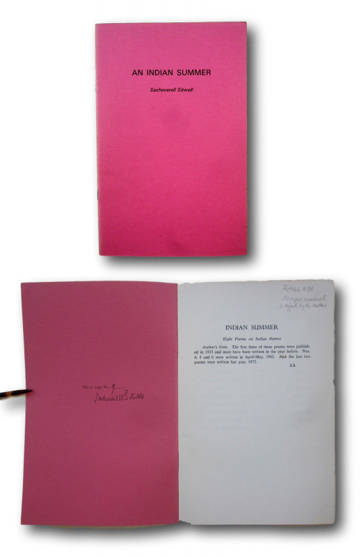
An Indian Summer. [One of 10 copies]
Sitwell, Sacheverell.
Brackley Northants, Smart & Co. (1973)
£40.00
Offered by John L Capes
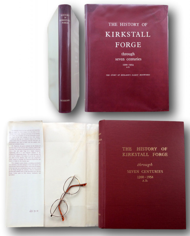
THE HISTORY OF KIRKSTALL FORGE through seven centu...
Raistrick,Arthur. Butler Rodney
YORK;William Sessions 1954
£175.00
Offered by John L Capes
Friends of the PBFA
Please email info@pbfa.org for more information