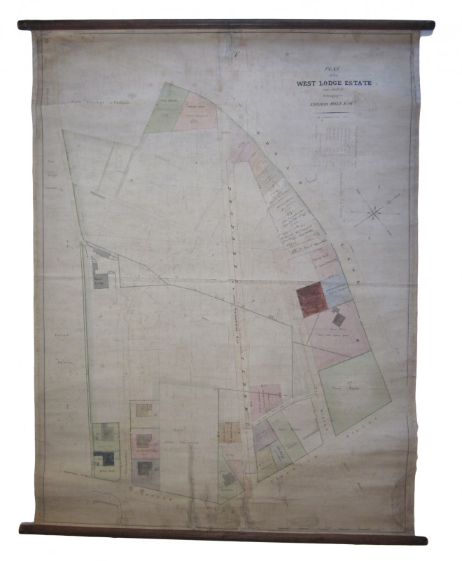
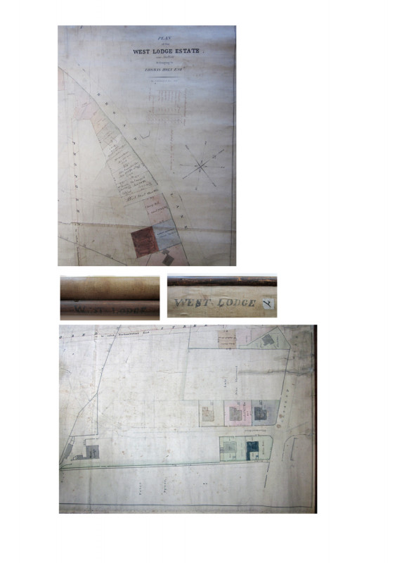
Original Manuscript Map by J.Fairbank & Sons 1828 entitled " A Plan of the West Lodge Estate near Sheffield belonging to Thomas Holy Esq

Book Description
Other books
If you liked the book you've just seen, you might be interested in other books from the same dealer below.
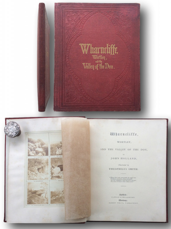
WHARNCLIFFE,WORTLEY, AND THE VALLEY OF THE DON
Holland, John. / Theophilus Smith
Sheffield Pawson & Brailsford ND (1864)
£85.00
Offered by John L Capes
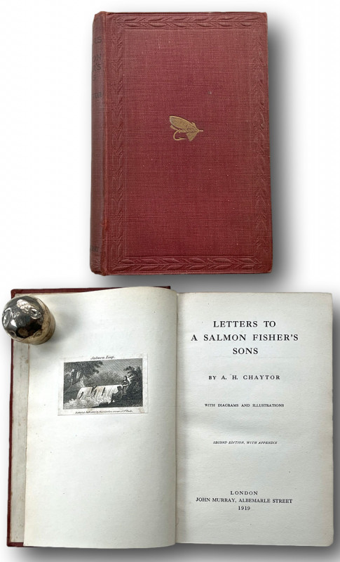
LETTERS TO A SALMON FISHERS SONS
CHAYTOR, A.H.
London John Murray Albemarle Street 1919
£35.00
Offered by John L Capes
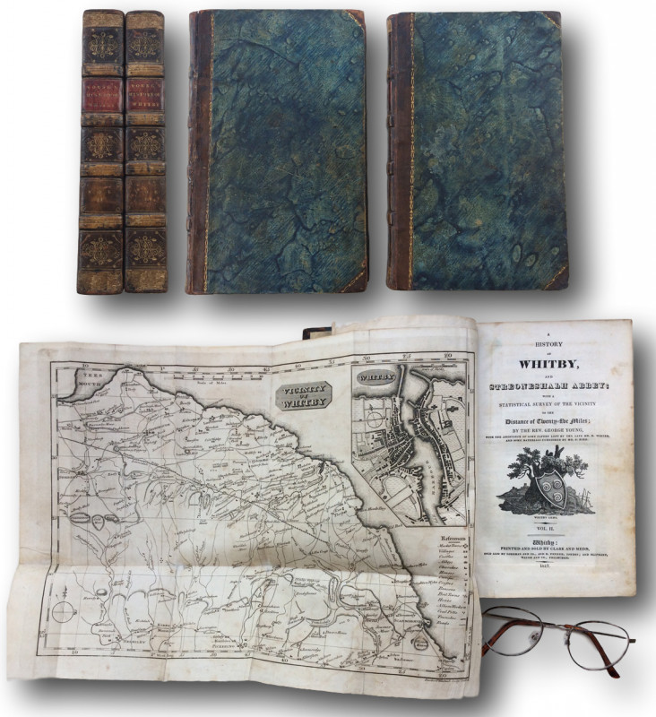
A HISTORY OF WHITBY and STREONESHALH ABBEY with a...
YOUNG, George.Rev.
WHITBY:printed and sold by Clark and Medd etc; 1817.
£225.00
Offered by John L Capes
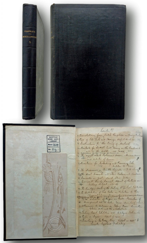
A Bound Collection of Nineteenth Century Fishing P...
T.Wemyss Fulton,Adolph Nielsen,Tarleton H.Bean et al.
VARIOUS 1857-1902
£150.00
Offered by John L Capes
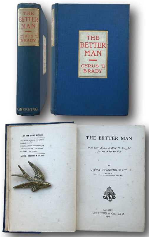
THE BETTER MAN:With some account of what he strugg...
BRADY Cyrus Townsend 1861-1920
London Greening & Co 1911
£50.00
Offered by John L Capes
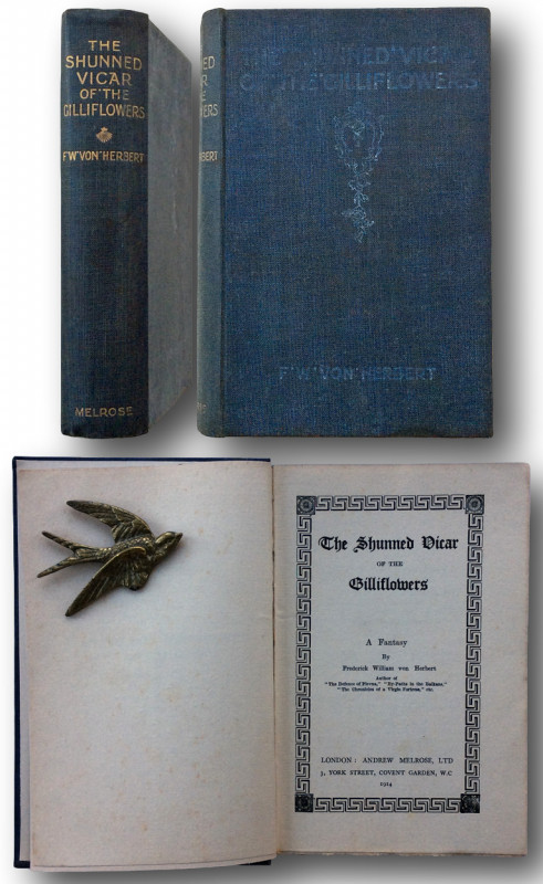
THE SHUNNED VICAR OF THE GILLIFLOWERS A Fantasy b...
Frederick William von Herbert.
LONDON :Andrew Melrose,Ltd 3 York Street, Covent Garden 1914
£75.00
Offered by John L Capes
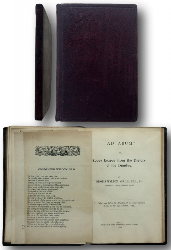
"AD ABUM," Or Loose Leaves from the History of the...
Thomas Walton Dr.{M.R.C.S., F.C.S. etc.
HULL: Charles Henry Barnwell 1886
£75.00
Offered by John L Capes
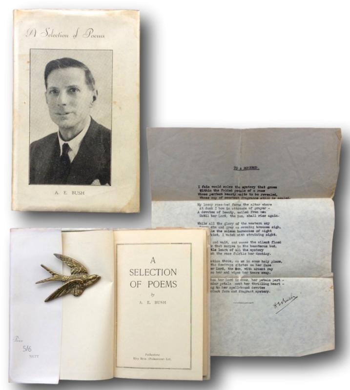
A SELECTION OF POEMS
BUSH, A.E. Louise M.Bush.
Folkestone : Elvy Brothers.[Folkestone] ND (1945)
£45.00
Offered by John L Capes
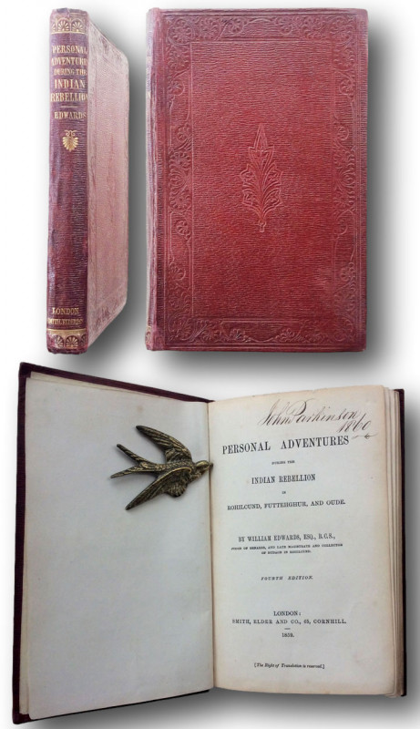
Personal Adventures during the Indian Rebellion in...
EDWARDS,William.
LONDON Smith Elder & Co., 65 Cornhill. 1859
£150.00
Offered by John L Capes
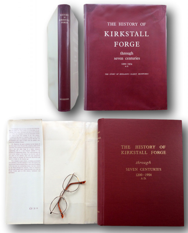
THE HISTORY OF KIRKSTALL FORGE through seven centu...
Raistrick,Arthur. Butler Rodney
YORK;William Sessions 1954
£175.00
Offered by John L Capes
Friends of the PBFA
Please email info@pbfa.org for more information