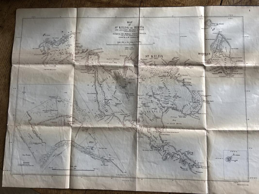
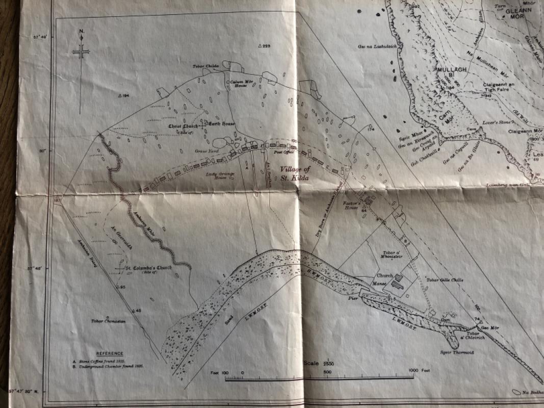
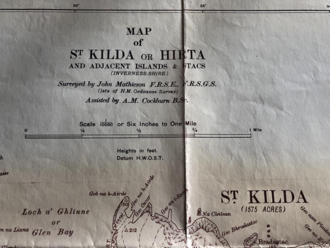
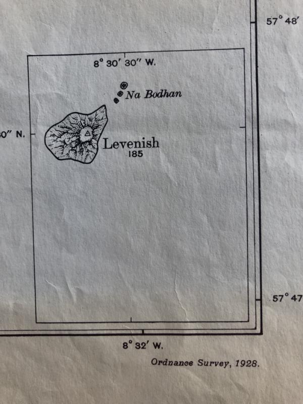
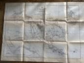
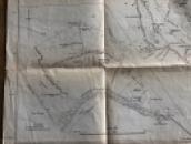
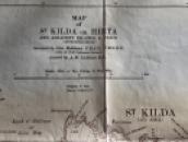
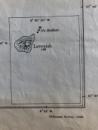
ORDNANCE SURVEY MAP OF ST KILDA OR HIRTA AND ADJACENT ISLANDS AND STACS 1928


Book Description
Other books
If you liked the book you've just seen, you might be interested in other books from the same dealer below.

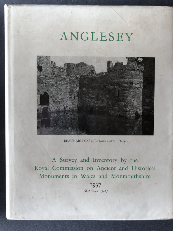
ANGLESEY A Survey and Inventory by the Royal Commi...
None accredited
HMSO
£45.00
Offered by Geoff Cox Books
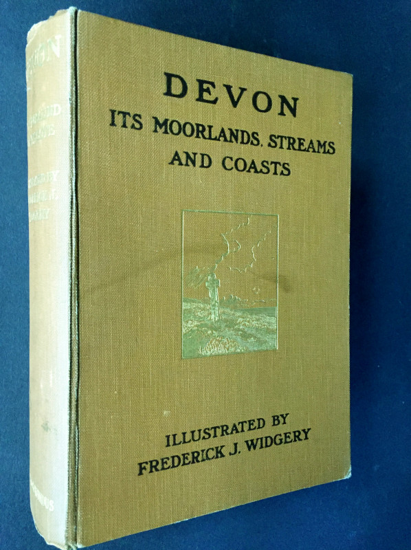
Devon - its Moorlands, Streams and Coasts
Lady Rosalind Northcote
Chatto & Windus
£26.00
Offered by Geoff Cox Books

THROUGH JUBALAND TO THE LORIAN SWAMP (First Editi...
I. N. Dracopoli F.R.G.S.
Seeley, Service & Co
£55.00
Offered by Geoff Cox Books
ORDNANCE SURVEY MAP OF ST KILDA OR HIRTA AND ADJAC...
John Mathieson F.R.S.E., F.R.S.G.S. (Surveyor)
Ordnance Survey (Crown Copyright Reserved)
£35.00
Offered by Geoff Cox Books

PARIS NIGHTS - AND OTHER IMPRESSIONS OF PLACES & P...
Arnold Bennett
Hodder & Stoughton
£22.00
Offered by Geoff Cox Books
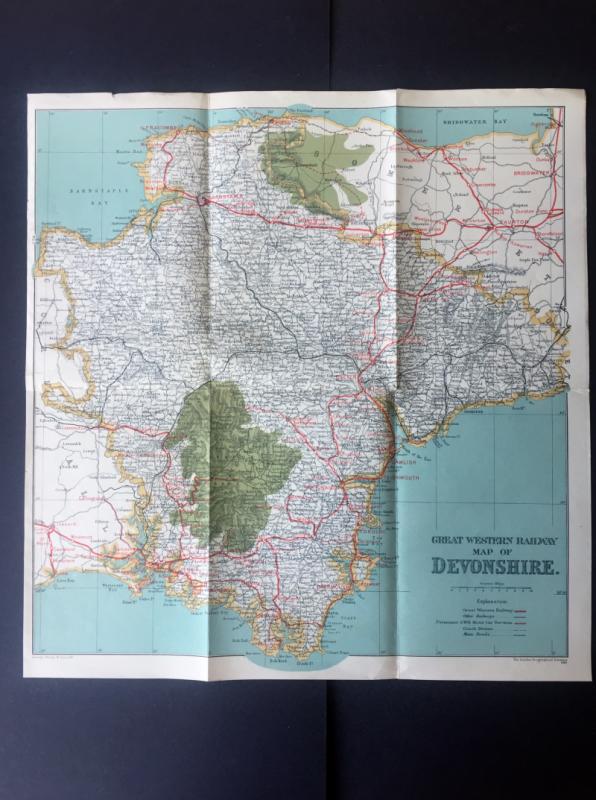
Great Western Railway Map of DEVONSHIRE 34cm x 3...
None
George Philip & Son
£12.00
Offered by Geoff Cox Books
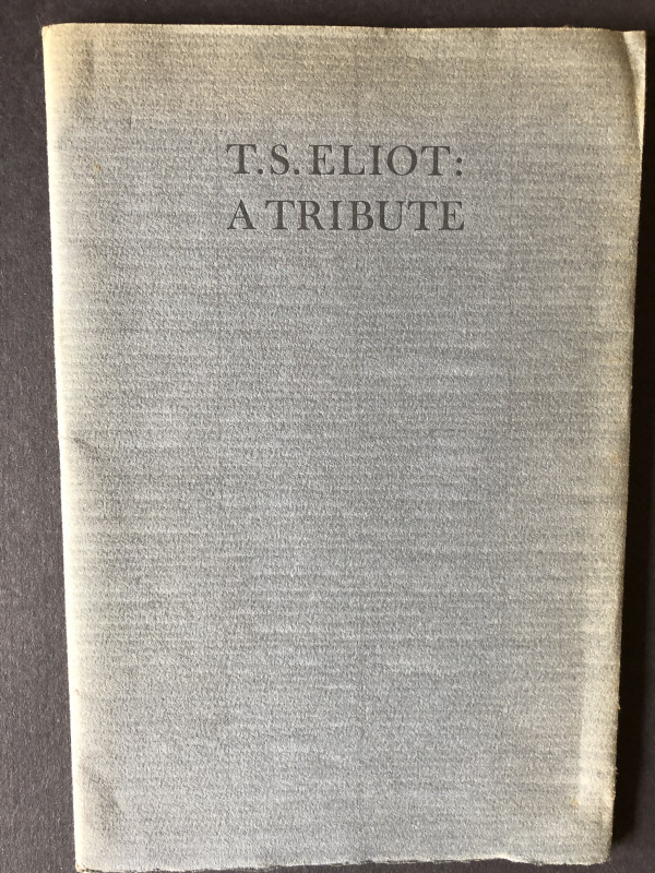
T.S.ELIOT : A TRIBUTE (Signed, Limited First Editi...
Ted Hughes
Faber & Faber (Privately Printed 250 Copies)
£70.00
Offered by Geoff Cox Books
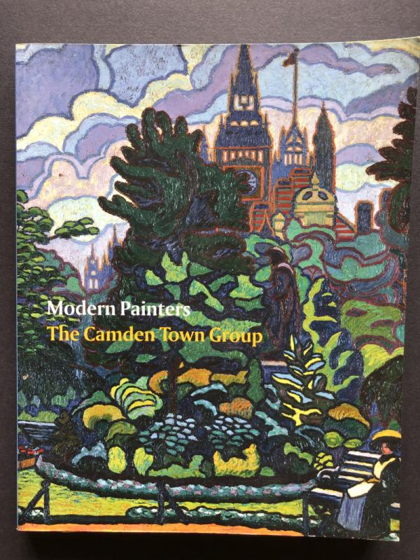
MODERN PAINTERS ; THE CAMDEN TOWN GROUP
Robert Upstone (Editor)
Tate Publishing
£24.00
Offered by Geoff Cox Books
Friends of the PBFA
Please email info@pbfa.org for more information