Mapping the Himalayas: Michael Ward and the Pundit Heritage.
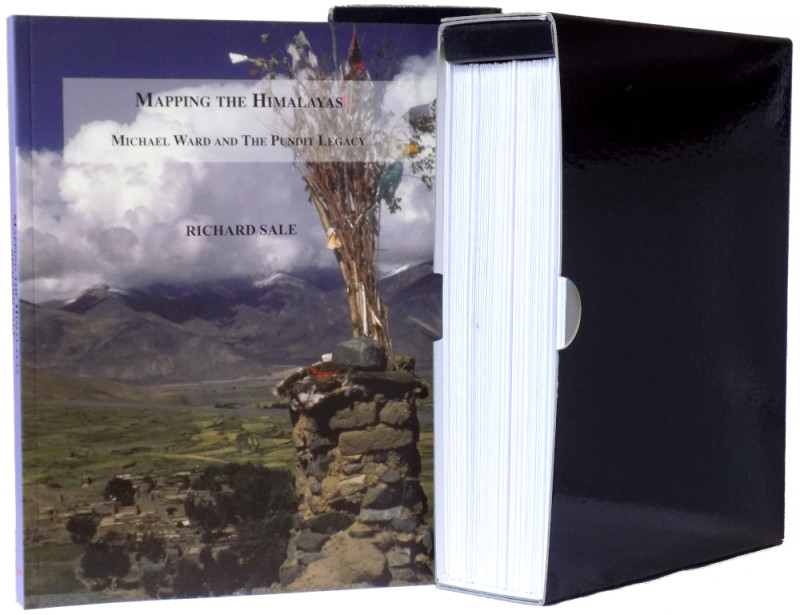
Book Description
Dealer Notes
Other books
If you liked the book you've just seen, you might be interested in other books from the same dealer below.
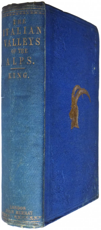
The Italian Valleys of the Pennine Alps: A Tour th...
King, Rev. S. W.
London: John Murray
£450.00
Offered by Meridian Rare Books
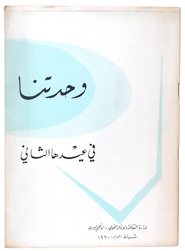
Wahdatuna fi 'idiha al-Thaani . . . [Our Union on...
United Arab Republic.
Dimashq / Damascus: Ministry of Culture and National Guidance
£150.00
Offered by Meridian Rare Books
The Old Glaciers of Switzerland and North Wales.
Ramsay, A. C.
London: Longman, Green, Longman, and Roberts
£125.00
Offered by Meridian Rare Books
The Year 1914 Illustrated. A Record of Notable Ach...
[Shackleton, Ernest H.; Mawson, Douglas.]
London & Manchester: The Daily Mail & Leader, n.d. [1915]
£50.00
Offered by Meridian Rare Books
A Flight to Remember. Roald Amundsen’s Dramatic At...
[Amundsen, Roald.] Geir Kløver, ed.
[Oslo:] The Fram Museum
£300.00
Offered by Meridian Rare Books
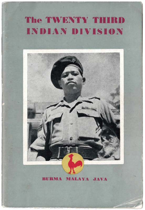
An illustrated story telling of the Division’s exp...
The Twenty Third Indian Division.
[Printed by M. I. Sabharwal at the Roxy Press, New Delhi, under the authority of the Director of Public Relations, War Department, Government of India]
£50.00
Offered by Meridian Rare Books
The Churchman’s Missionary Atlas.
[Robinson, C. H., ed.]
Westminster: The Society for the Propagation of the Gospel in Foreign Parts.
£75.00
Offered by Meridian Rare Books
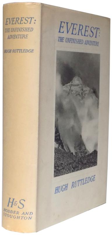
Everest: The Unfinished Adventure.
Ruttledge, Hugh.
London: Hodder And Stoughton
£350.00
Offered by Meridian Rare Books
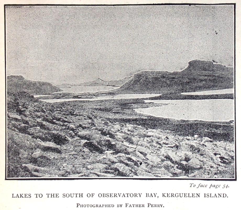
Father Perry, the Jesuit Astronomer.
[Perry, Stephen Joseph.] A. L. Cortie.
London: The Catholic Truth Society
£125.00
Offered by Meridian Rare Books
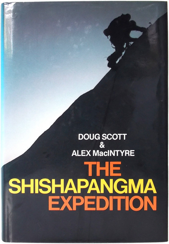
The Shishapangma Expedition.
Scott, Doug & Alexander MacIntyre.
London: Granada
£275.00
Offered by Meridian Rare Books
Friends of the PBFA
Please email info@pbfa.org for more information