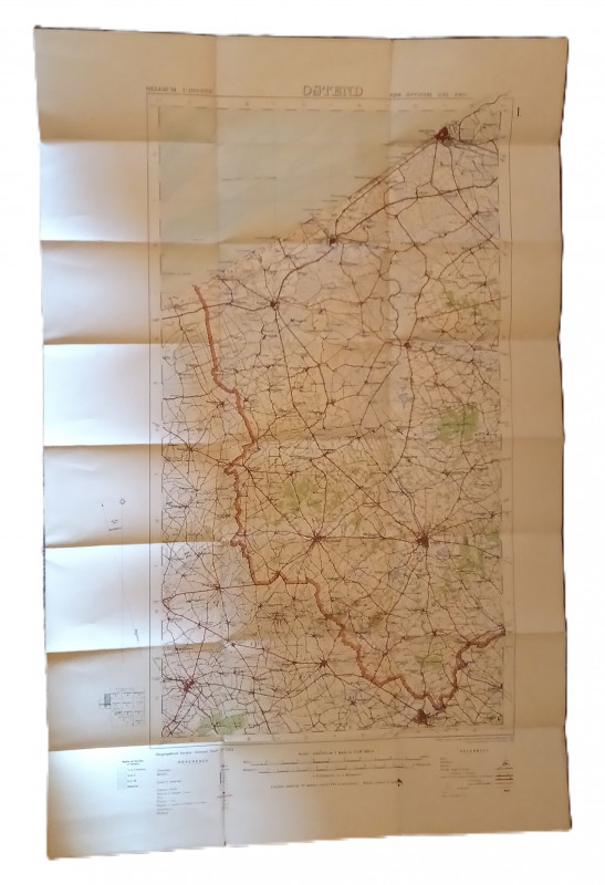
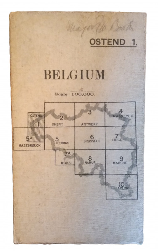
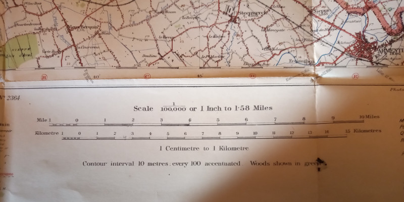
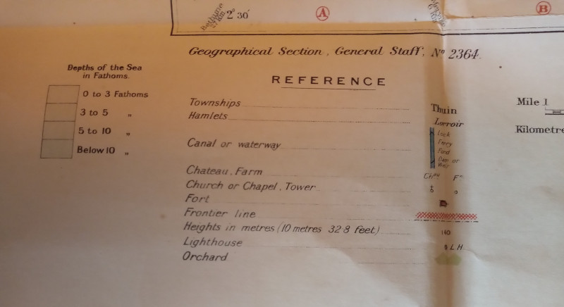
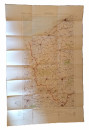
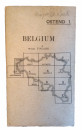
Map of Ostend Region, Belguim


Book Description
Other books
If you liked the book you've just seen, you might be interested in other books from the same dealer below.
The Life and Death of a Quicksilver Mine
Helen Rocca Goss
The Historical Society of Southern California
£25.00
Offered by The Book House
North East England - The Region's Development 1760...
Norman McCord
Batsford Academic
£15.00
Offered by The Book House
The Industrial Railways of Bolton, Bury and the Ma...
C. H. A. Townley, C. A. Appleton, F. D. Smith & J. A. Peden
Runpast Publishing
£20.00
Offered by The Book House
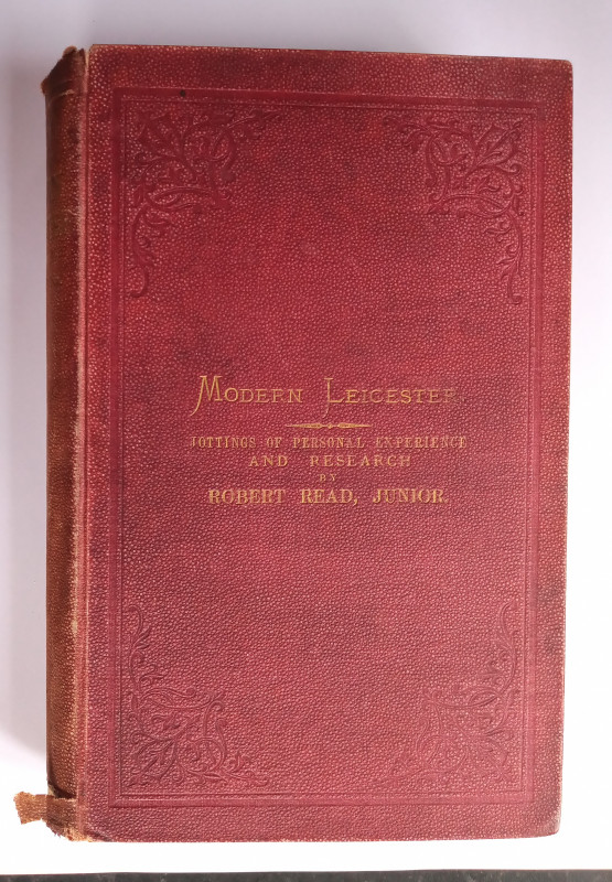
Modern Leicester - Jottings of Personal Experience...
Robert Read
Simpkin, Marshall & Co. and Winks & Son, London and Leicester
£20.00
Offered by The Book House
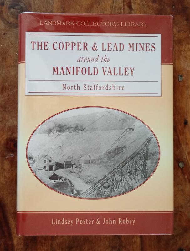
The Copper & Lead Mines around the Manifold Valley
Lindsay Porter & John Robey
Landmark
£18.00
Offered by The Book House
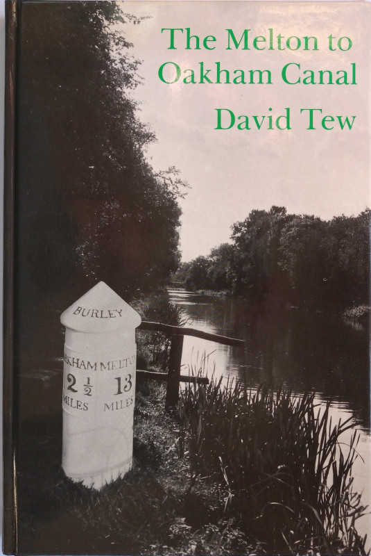
The Melton to Oakham Canal
Tew, David (with additional material and notes by Trevor Hickman):
Sycamore Press
£18.00
Offered by The Book House
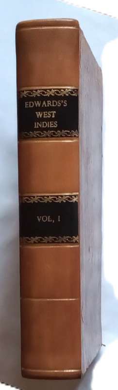
The History, Civil & Commercial, of the British Co...
Edwards, Bryan:
Luke White, Dublin
£195.00
Offered by The Book House
Friends of the PBFA
Please email info@pbfa.org for more information