Map of Bahr el Ghazal (Sudan)
Book Description
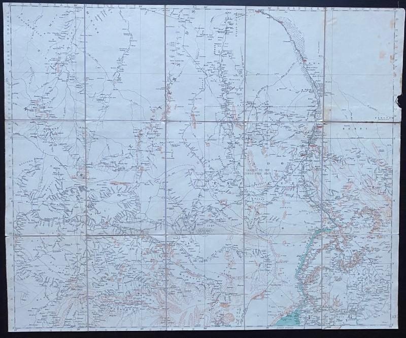
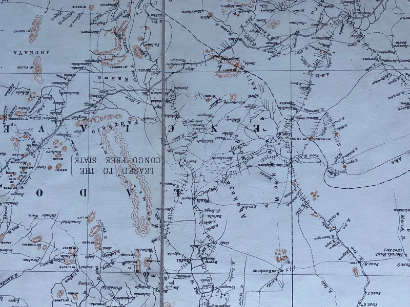
Map of Bahr el Ghazal (Sudan). Compiled and published by the Topographical Section of the British General Staff, London circa 1905. On folding linen in 15 sections, size 70 by 57 cm. Scale 1:1,000,000. Covers southern Sudan along with some areas leased to the Congo Free State. Colour. A key to the reverse provides information on boundaries, mission stations, falls and rapids, forts, roads fit for wheeled traffic, well defined main tracks, other routes, telegraphs etc. Heights are indicated by shading or hachuring. A detailed map in VG condition.
Author
Topographical Section of the British General Staff
Date
1905
Publisher
Topographical Section of the British General Staff
Condition
VG
Other books
If you liked the book you've just seen, you might be interested in other books from the same dealer below.
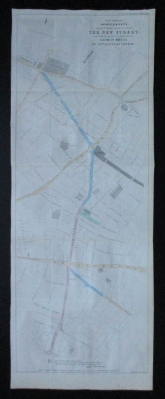
Plan Shewing Improvements suggested in extension o...
Pennethorne
Hansard
£75.00
Offered by Arthur Hook
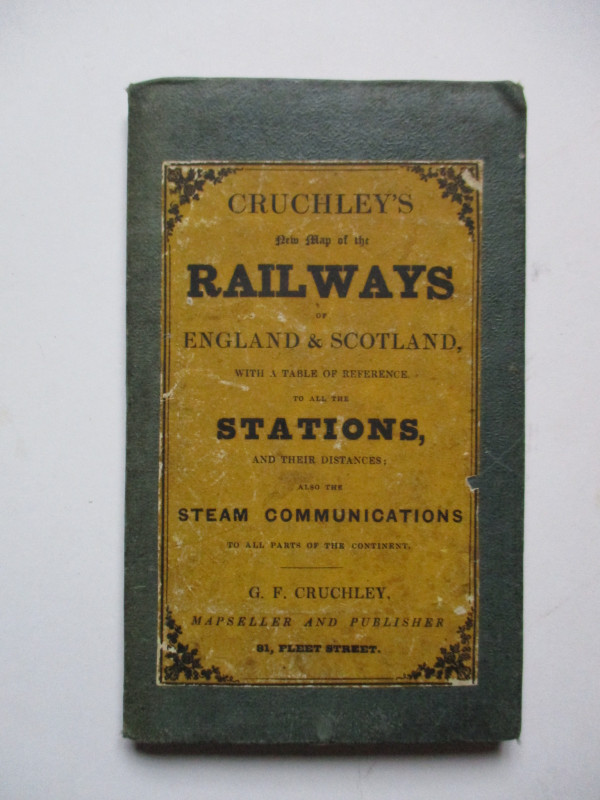
Cruchley’s New Map of the Railways of England and...
Cruchley
Cruchley
£85.00
Offered by Arthur Hook
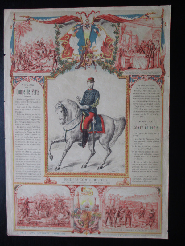
French Royalist Publicity Poster Philippe Comte de...
Philippe Comte de Paris
Thomas and Conferon
£45.00
Offered by Arthur Hook
Friends of the PBFA
For £10 get free entry to our fairs, updates from the PBFA and more.
Please email info@pbfa.org for more information