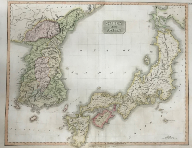
Map: Corea & Japan
Book Description
Dealer Notes
Other books
If you liked the book you've just seen, you might be interested in other books from the same dealer below.
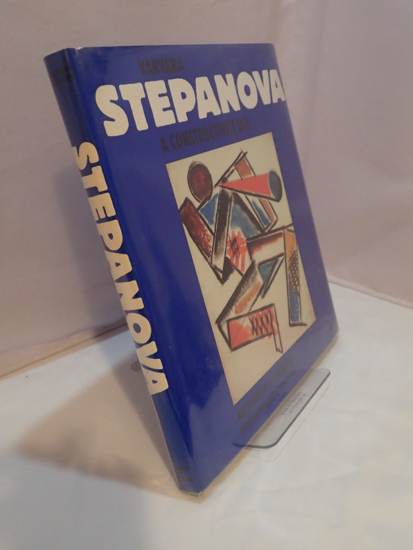
Varvara Stepanova: A Constructivist Life
LAVRENTIER, Alexander
Thames and Hudson
£28.00
Offered by Yatton Books & Prints
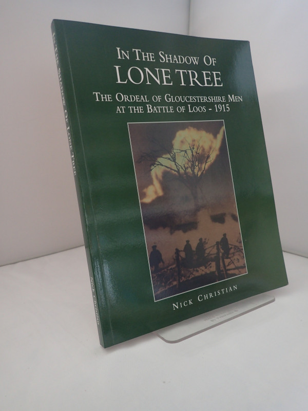
In the Shadow of Lone Tree: the Ordeal of Gloucest...
CHRISTIAN, Nick
M J Jenkins
£65.00
Offered by Yatton Books & Prints
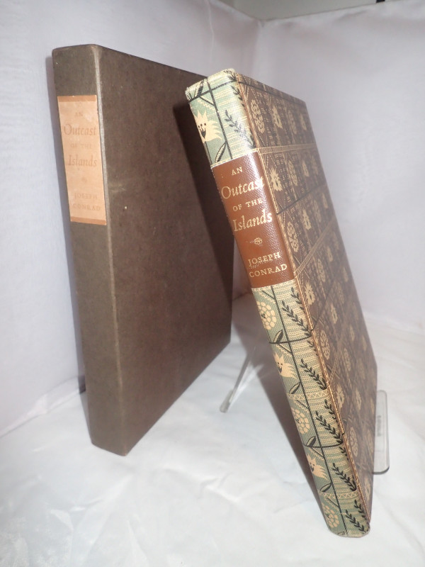
An Outcast of the Islands
CONRAD, Joseph
The Limited Editions Club
£30.00
Offered by Yatton Books & Prints

Enclopedia of the Boer War 1899-1902
MATRX EVANS, Martin
ABC-CLIO
£75.00
Offered by Yatton Books & Prints
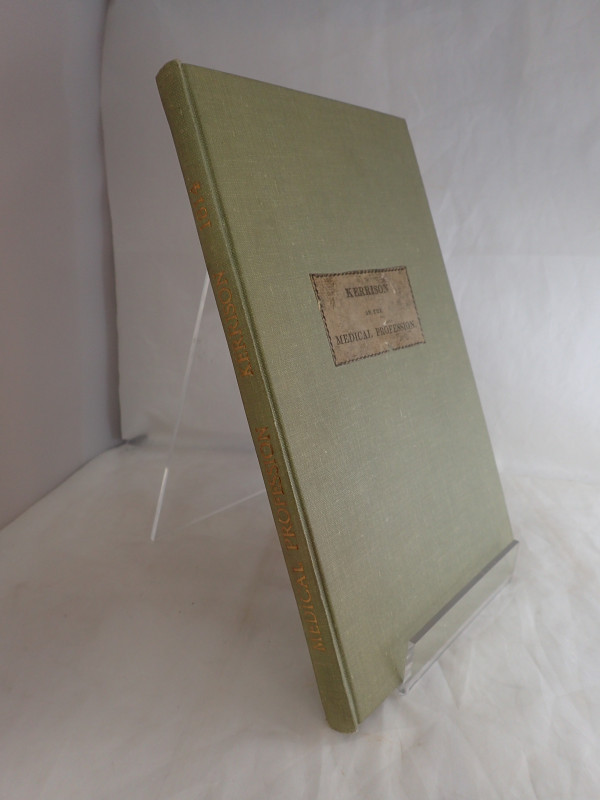
An Inquiry into the Present State of the Medical P...
KERRISON, Robert Masters
Longman, Hurst, Rees,Orme and Brown
£200.00
Offered by Yatton Books & Prints
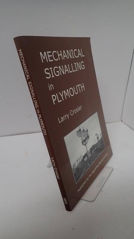
Mechanical Signalling in Plymouth
CROSIER, Larry
The Signalling Record Society
£16.00
Offered by Yatton Books & Prints

Rubaiyat Of Omar Khayyam: The Astronomer-Poet Of...
KHAYYAM, Omar
Macmillan and Co
£40.00
Offered by Yatton Books & Prints
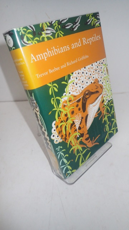
The New Naturalist Library Number 87: Amphibians a...
BEEBEE, Trevor & GRIFFITHS, Richard
Collins
£40.00
Offered by Yatton Books & Prints

The Naval War in The Baltic 1939-1945
GROOSS, Paul
Seaforth Publishing
£12.00
Offered by Yatton Books & Prints
Friends of the PBFA
Please email info@pbfa.org for more information