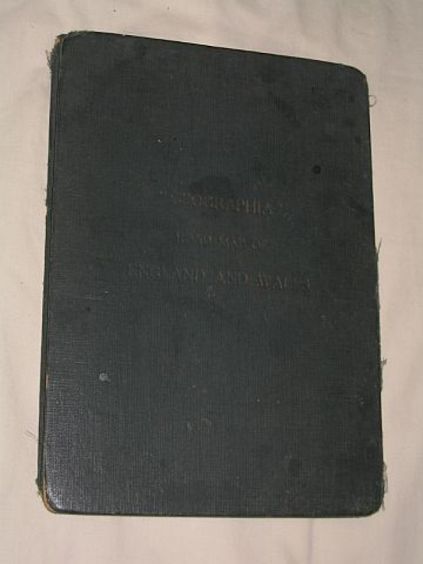
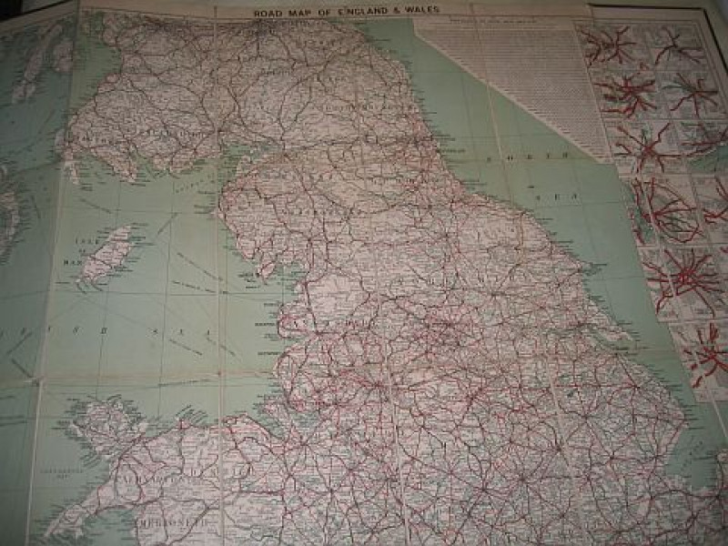
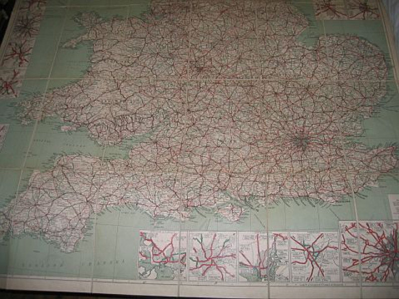
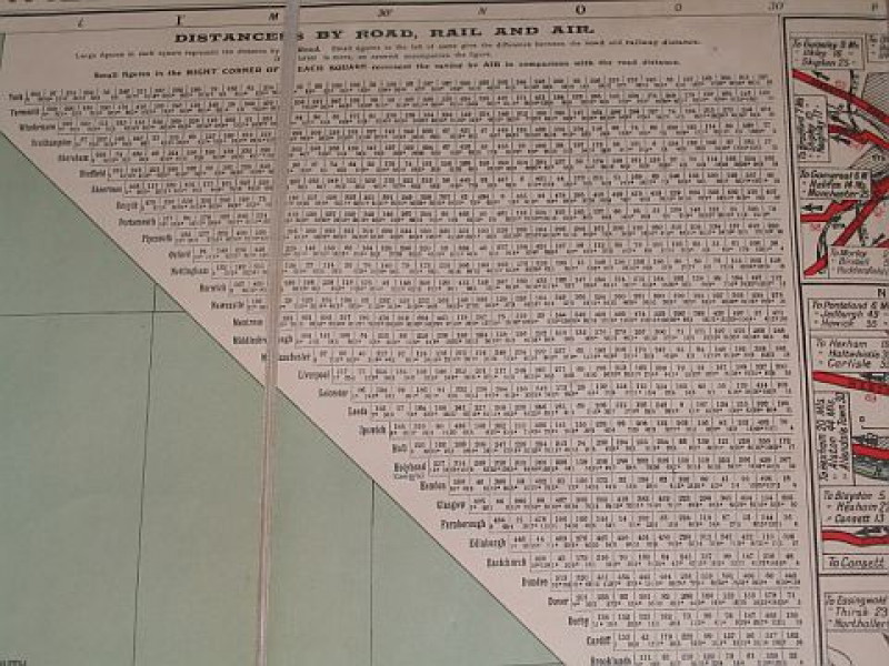
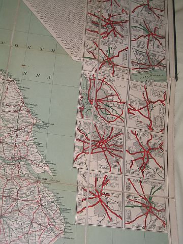
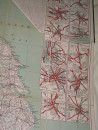
Geographia Road Map Of England And Wales

Book Description
Dealer Notes
Other books
If you liked the book you've just seen, you might be interested in other books from the same dealer below.
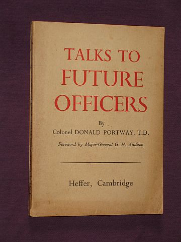
Talks to Future Officers
Portway, Colonel Donald
W. Heffer & Sons Ltd.; Cambridge
£15.00
Offered by Bookbarrow
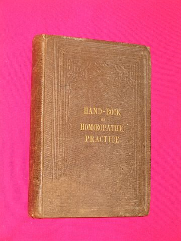
Hand-book of Homoeopathic Practice for the Use of...
Kelly, Walter K.
James Epps; London
£45.00
Offered by Bookbarrow
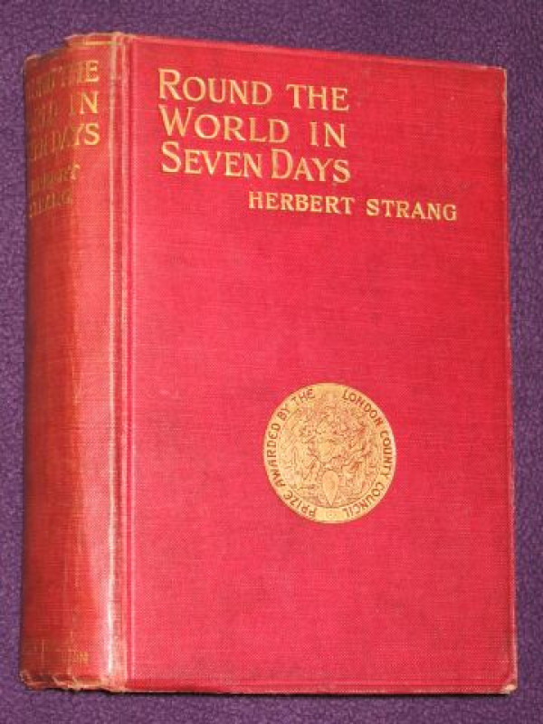
Round the World in Seven Days
Strang, Herbert
Henry Frowde (Hodder); London
£40.00
Offered by Bookbarrow

Sherriffs at the Cinema. A Collection of Caricatur...
Sherriffs, Robert
Simon Bond & Nicholas Bromley (produced by)
£40.00
Offered by Bookbarrow
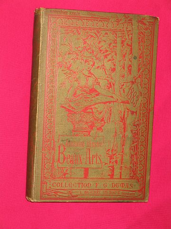
1883 Annuaire illustre des Beaux-Arts et Catalogue...
Dumas, F.G.
Librairie d'Art, Paris
£35.00
Offered by Bookbarrow
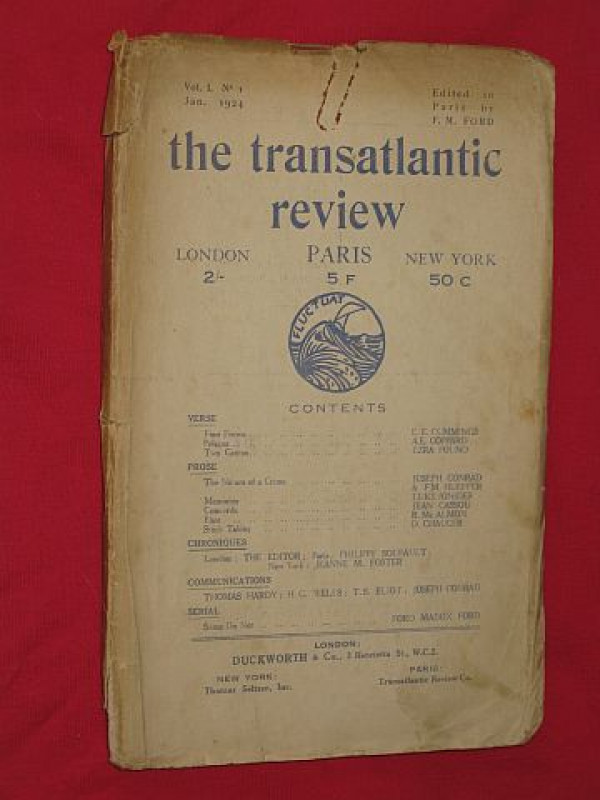
The Transatlantic Review, Volume 1, Number 1 (Janu...
Ford, Ford Madox (Ford Madox Hueffer, editor.), Joseph Conrad, Ezra Pound, E. E. Cummings, Luke Ionides, A. E. Coppard, Jean Cassou. et al.
Gerald Duckworth & Co Ltd.; London
£170.00
Offered by Bookbarrow
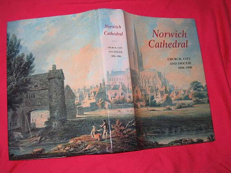
Norwich Cathedral: Church, City and Diocese, 1096...
Atherton, Ian; with Eric Fernie; Christopher Harper-Bill & Hassell Smith.
The Hambledon Press; London
£25.00
Offered by Bookbarrow
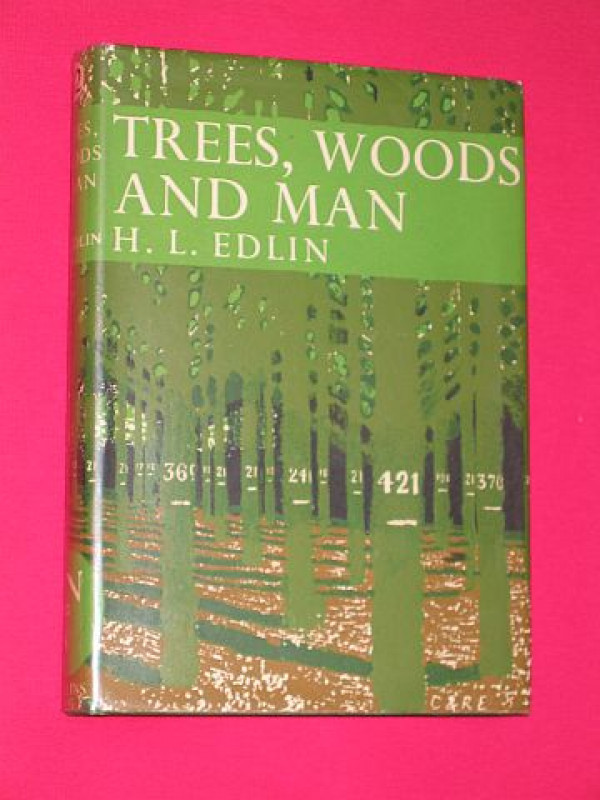
Trees, Woods and Man (New Naturalist No. 32)
Edlin, Herbert L.
Collins; London
£40.00
Offered by Bookbarrow
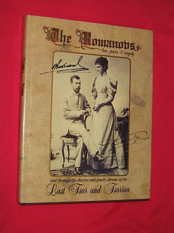
The Romanovs: Love, Power & Tragedy
Bokhanov, Alexander N. & Dr Manfred Knodt; Vladimir Oustimenko; Zinaida Peregudova; Lyubov Tyutyunnik & Translator]: Lyudmila Xenofontova
Leppi Publications; London
£50.00
Offered by Bookbarrow
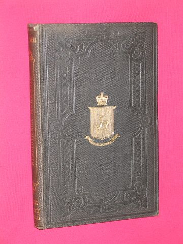
Bibliotheca Monensis: A Bibliographical Account of...
Harrison, William
The Manx Society, Douglas, Isle of Man
£45.00
Offered by Bookbarrow
Friends of the PBFA
Please email info@pbfa.org for more information