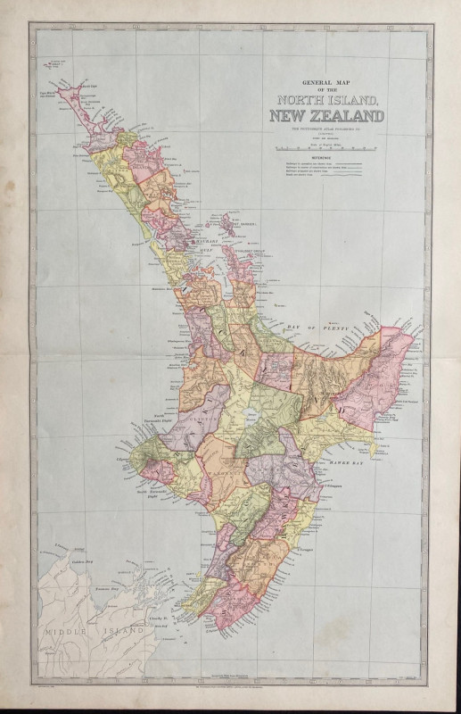
General Map of the North Island of New Zealand
Book Description
General Map of the North Island of New Zealand published by the Picturesque Atlas Publishing Company, Sydney 1885. On paper size 66 by 43 cm. Scale 25 miles to the inch. Colour. With a key to railways in operation, railways in construction, proposed railways and to roads. Heights are shown by hachuring or shading. One central fold. Minor foxing or age toning outside the margins of the map. Good condition.
Author
Picturesque Atlas Publishing Company
Date
1885
Publisher
Picturesque Atlas Publishing Company
Condition
Good
Other books
If you liked the book you've just seen, you might be interested in other books from the same dealer below.

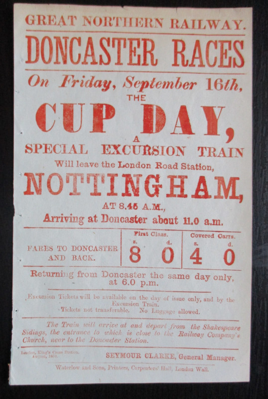
Doncaster Races by Great Northern Railway 1870
Anon
Great Northern Railway
£45.00
Offered by Arthur Hook
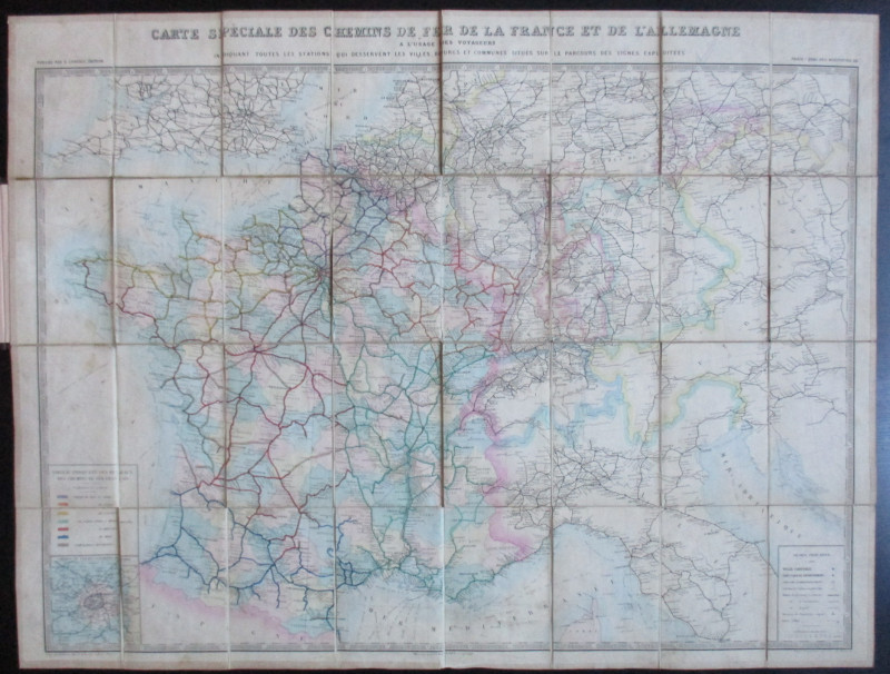
Carte Generale des Chemins de la France et de l’Al...
Vuillemin
Logerot
£70.00
Offered by Arthur Hook
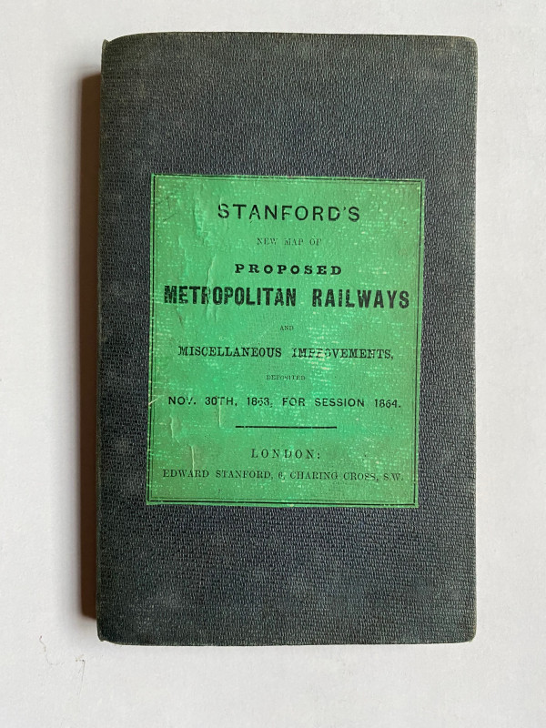
Stanford’s New Map of Proposed Metropolitan Railwa...
Stanford
Stanford
£295.00
Offered by Arthur Hook
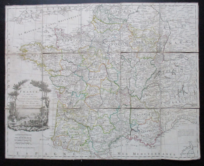
A New Map of France in which the Post Stages are E...
Rocque
Rocque and Sayer
£295.00
Offered by Arthur Hook
Friends of the PBFA
For £10 get free entry to our fairs, updates from the PBFA and more.
Please email info@pbfa.org for more information