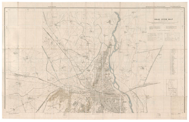
Delhi guide map
Book Description
Dealer Notes
1926 was an important year in the history of Delhi. In 1911, King George V and his consort Queen Mary were crowned rulers of India at a darbar on 12th December, 1911; at the time, he announced that the imperial capital was to be removed from Calcutta (modern Kolkata) to Delhi. On the 15th, the King and Queen laid the first two foundation stones for this city.
As part of the transfer, a district of Delhi was designated as the government quarter, and this area, designed by Sir Edwin Lutyens and Sir Herbert Baker, was extensively rebuilt, creating the many buildings need for government. Construction was finally completed in 1931, after long delays occasioned by the First World War, and its aftermath. This quarter was originally known simply as the new capital or "Imperial City" but on 31st December, 1926, the "Imperial City" was formally renamed New Delhi. This government quarter is on the missing two sheets.
Other books
If you liked the book you've just seen, you might be interested in other books from the same dealer below.
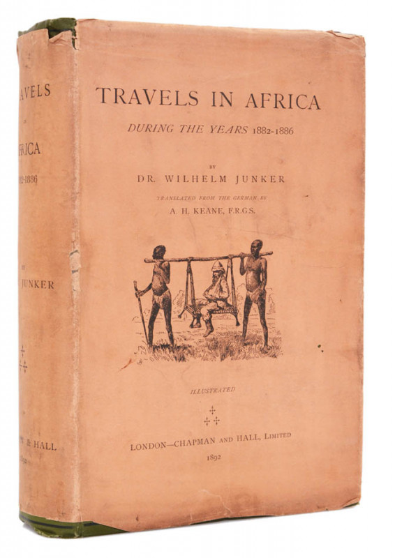
Travels in Africa [Third expedition]. 1882-1886.
JUNKER, Dr Wilhelm.
London, Chapman and Hall
£2000.00
Offered by Shapero Rare Books Ltd
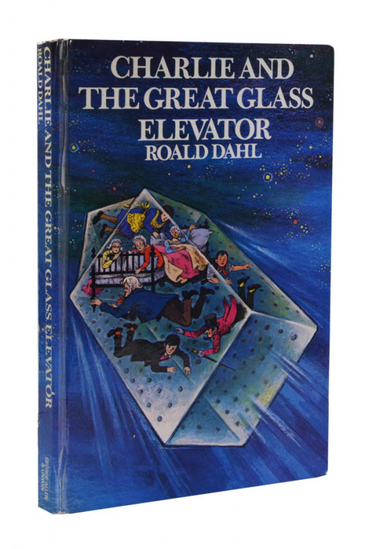
Charlie and the Great Glass Elevator.
DAHL, Roald; JAQUES, Faith.
George Allen & Unwin Ltd
£300.00
Offered by Shapero Rare Books Ltd

A story to read or tell...[A complete set of 13 bo...
SCHOLASTIC CHILDREN'S BOOKS; FICKLING, David (editor).
Scholastic Children’s Books, ‘Magic Beans’ series
£650.00
Offered by Shapero Rare Books Ltd
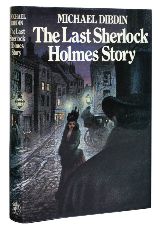
The Last Sherlock Holmes Story.
[DOYLE, Sir Arthur Conan]; DIBDIN, Michael.
Jonathan Cape
£300.00
Offered by Shapero Rare Books Ltd
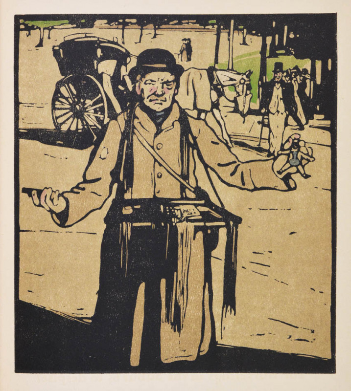
London Types.
NICHOLSON, William; HENLEY, William.
William Heinemann
£600.00
Offered by Shapero Rare Books Ltd
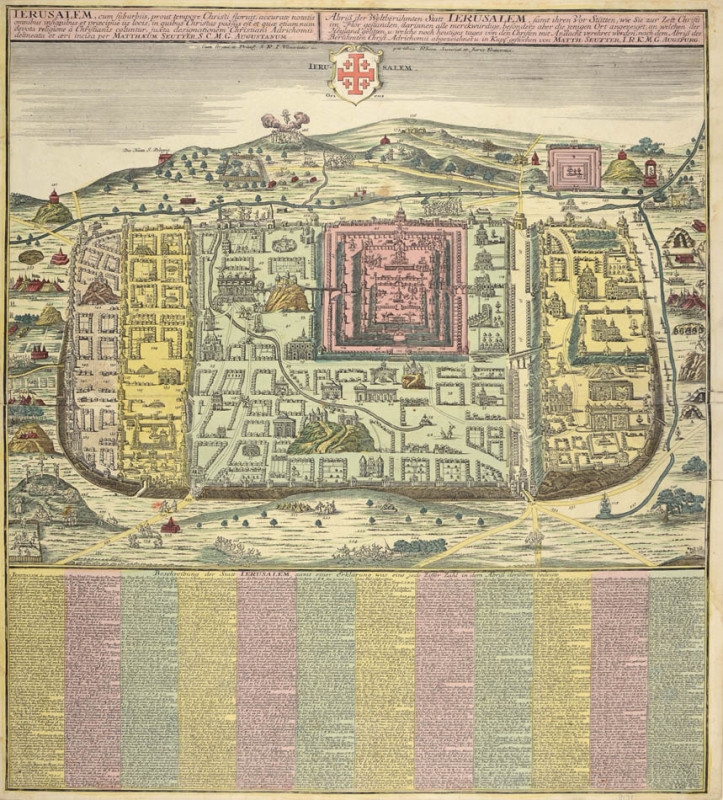
Ierusalem cum Suburbiis... [Jerusalem with suburbs...
SEUTTER, Georg Matthaus.
Augsburg,
£1750.00
Offered by Shapero Rare Books Ltd

Charlie and the Great Glass Elevator.
DAHL, Roald; SCHINDELMAN, Joseph.
Alfred A. Knopf
£375.00
Offered by Shapero Rare Books Ltd
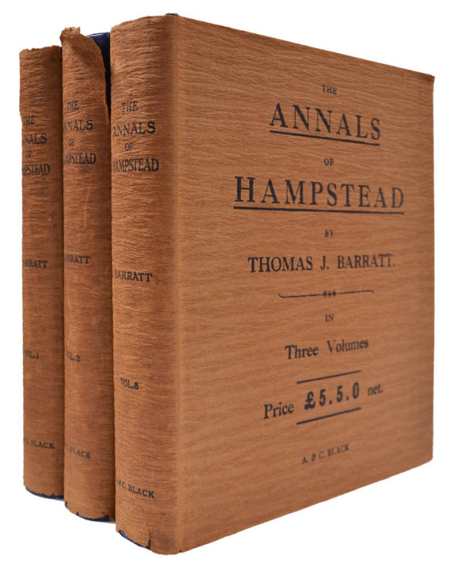
The Annals of Hampstead.
BARRATT, Thomas J.
London, A.& C. Black,
£650.00
Offered by Shapero Rare Books Ltd
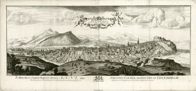
The North Prospect of the City of Edenburgh.
[KIP, Johannes].
[London]
£2500.00
Offered by Shapero Rare Books Ltd
Friends of the PBFA
Please email info@pbfa.org for more information