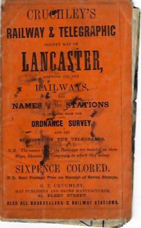
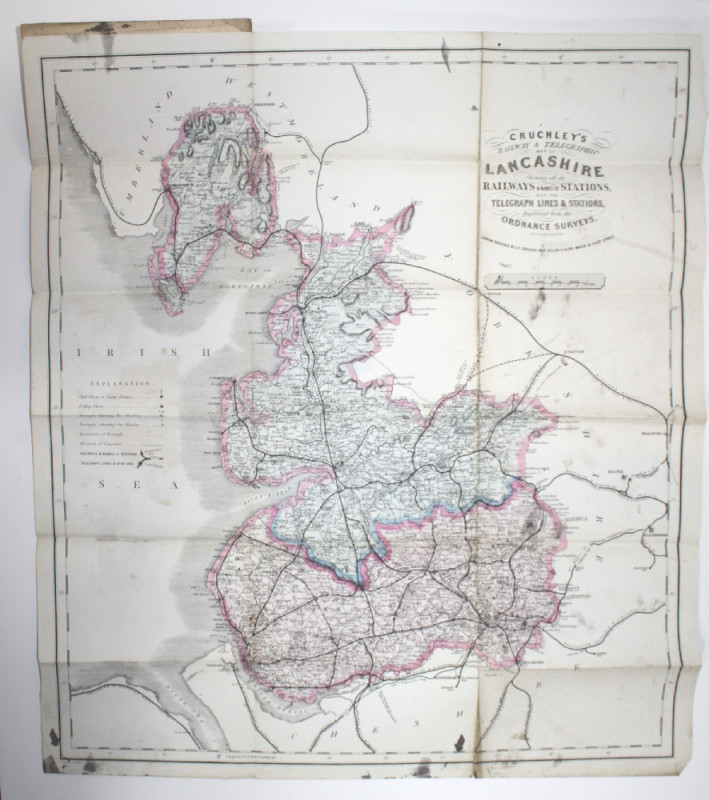
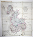
Cruchley's Railway & Telegraphic Map of Lancashire


Book Description
A scarce early map depicting the railways and telegraph lines of Lancashire.
Cat No. [56762]
Dealer Notes
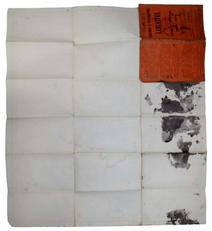
Orig. orange card covers, (168x100mm) with a few ink marks. Hand tinted folded map (unfolded, 500x565mm), a few ink smudges to lower margin. Ink stain to rear of map (not showing though to front). Good.
Author
[N/A]
Date
1857
Publisher
G.F.Cruchley
Condition
Good
Other books
If you liked the book you've just seen, you might be interested in other books from the same dealer below.
The Tourist's guide to the Rivers & Broads of Norf...
DAVIES, G.C.
Jarrold & Sons: London
£35.00
Offered by Pemberley Books
Marsh Leaves from the Norfolk Broad-Land
EMERSON, P.H.
Benjamin Perry: Stratford, Essex
£120.00
Offered by Pemberley Books
The Norwegian North Polar Expedition 1893-1896. Sc...
NANSEN, FRIDTJOF (ED.)
Jacob Dybwad: Christiania
£300.00
Offered by Pemberley Books
Report upon Natural History Collections made in Al...
NELSON, E.W.
Government Printing Office: Washington, 1887
£65.00
Offered by Pemberley Books
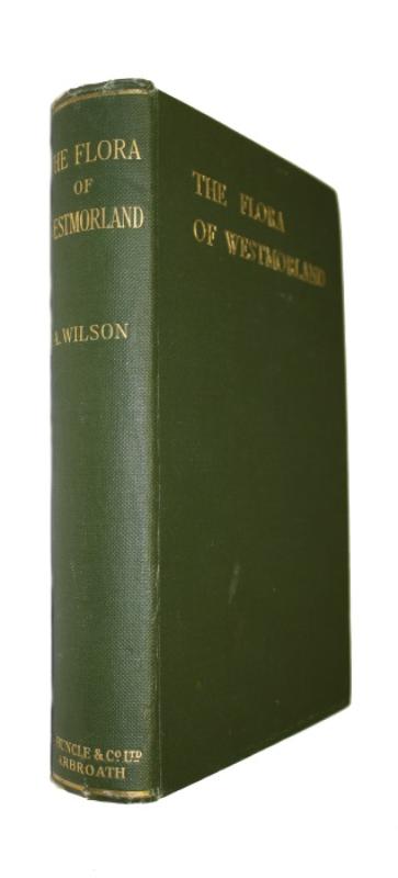
The Flora of Westmorland: An Account of the Flower...
WILSON, A.
Printed by T. Buncle: Arbroath
£50.00
Offered by Pemberley Books
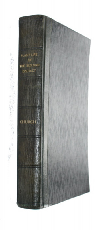
Introduction to the Plant-Life of the Oxford Distr...
CHURCH, A.H.
Oxford University Press
£35.00
Offered by Pemberley Books

Ericas in Southern Africa
BAKER, H.A.; OLIVER, E.G.H.
Purnell: Cape Town
£25.00
Offered by Pemberley Books

Friends of the PBFA
For £10 get free entry to our fairs, updates from the PBFA and more.
Please email info@pbfa.org for more information