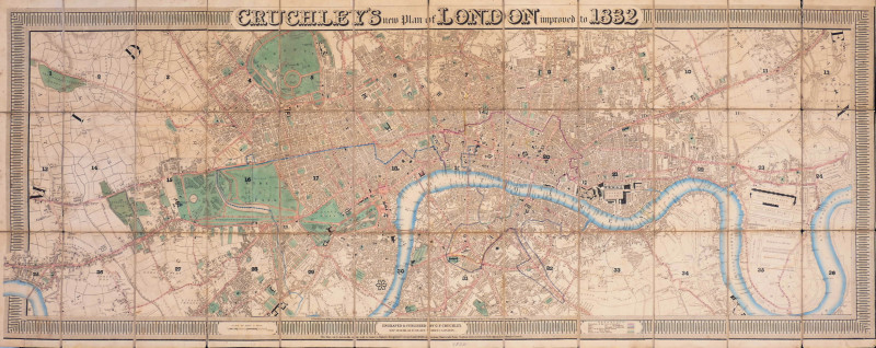
Cruchley's New Plan of London improved to 1832
Book Description
engraved map with original hand-colouring, decorative border including title panel above, and scale, key and publisher’s panels below, all laid on at edges as issued, dissected and linen-backed with a complete vertical split three panels in from the left, occasional partial splits on other folds in the linen, pale even browning and minor surface dirt, some marginal fly-spotting, [Howgego 304 C.(1a)]
Dealer Notes
considered by Howgego to be a composite of 304 B and 317 A, this update of Cruchley’s finely detailed plan, first issued in variant form in 1826, extends from Pentonville to Kennington, and from Hammersmith, which overlaps the decorative border, to East India Dock
Author
Cruchley (George Frederick)
Date
1832
Publisher
George Frederick Cruchley
Other books
If you liked the book you've just seen, you might be interested in other books from the same dealer below.
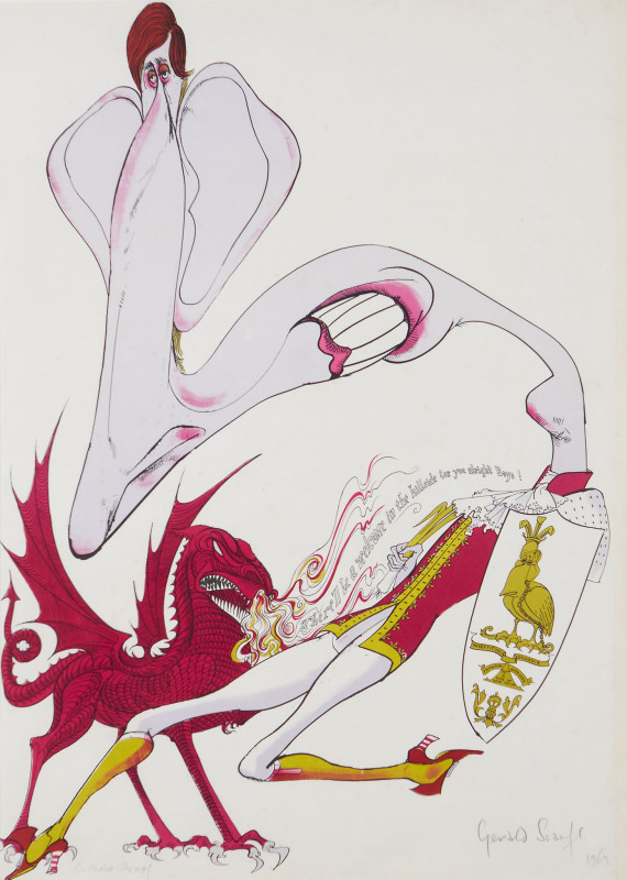
"There'll be a welcome in the hillside for you boy...
Scarfe (Gerald, C.B.E.)
Curwen Studio
£495.00
Offered by Robert Hall Pictures
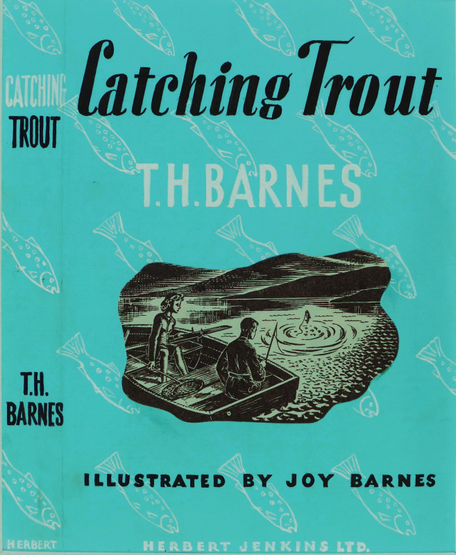
Original dust-jacket artwork for 'Catching Trout'...
Barnes (Joy)
£180.00
Offered by Robert Hall Pictures
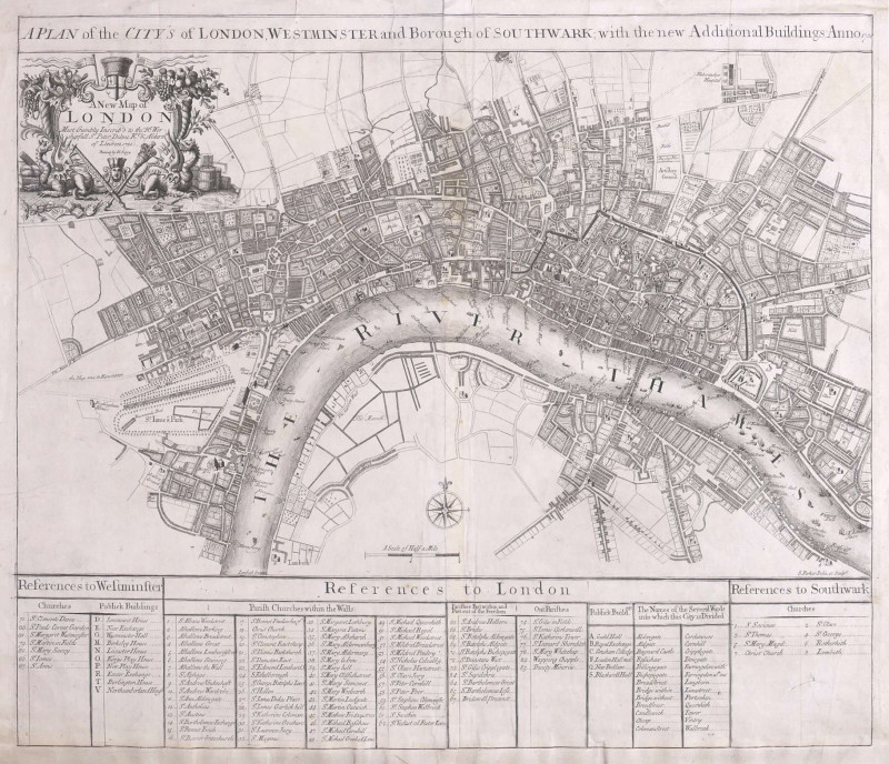
A Plan of the City's of London, Westminster and Bo...
Parker (Samuel)
John Senex, London
£1250.00
Offered by Robert Hall Pictures
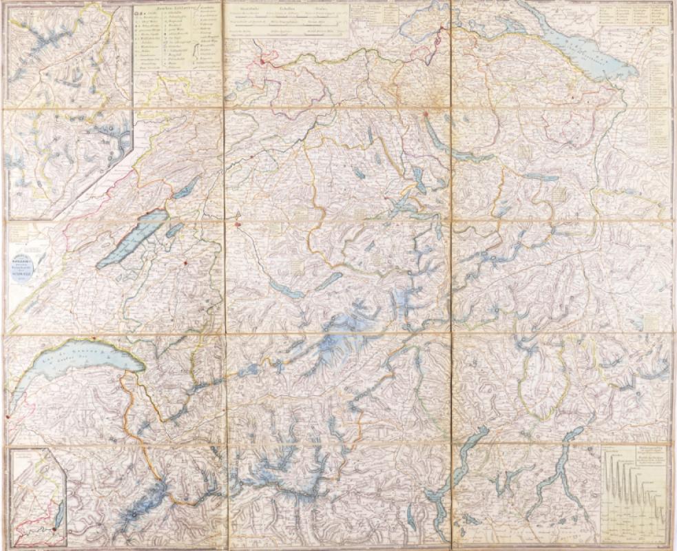
Keller's Second Road Map of Switzerland,
Keller (Heinrich)
Zurich
£180.00
Offered by Robert Hall Pictures
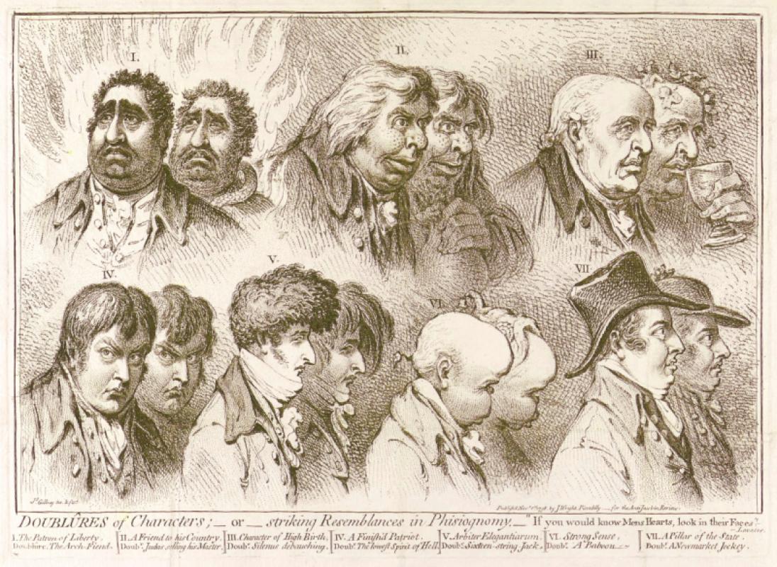
Doublûres of Characters; _ or _ striking Resemblan...
Gillray (James)
John Wright
£675.00
Offered by Robert Hall Pictures
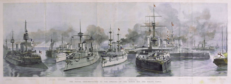
The Naval Demonstration at the Opening of the Nort...
Naumann (Paul Hermann)
Illustrated London News, London
£225.00
Offered by Robert Hall Pictures
Friends of the PBFA
For £10 get free entry to our fairs, updates from the PBFA and more.
Please email info@pbfa.org for more information