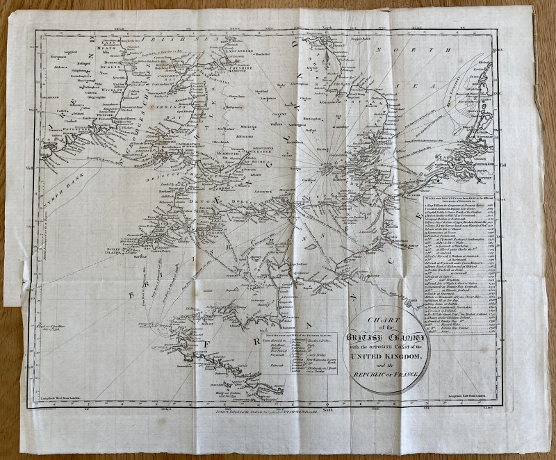
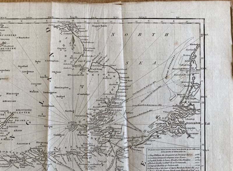
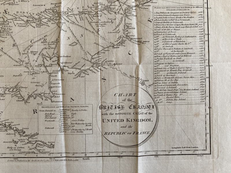
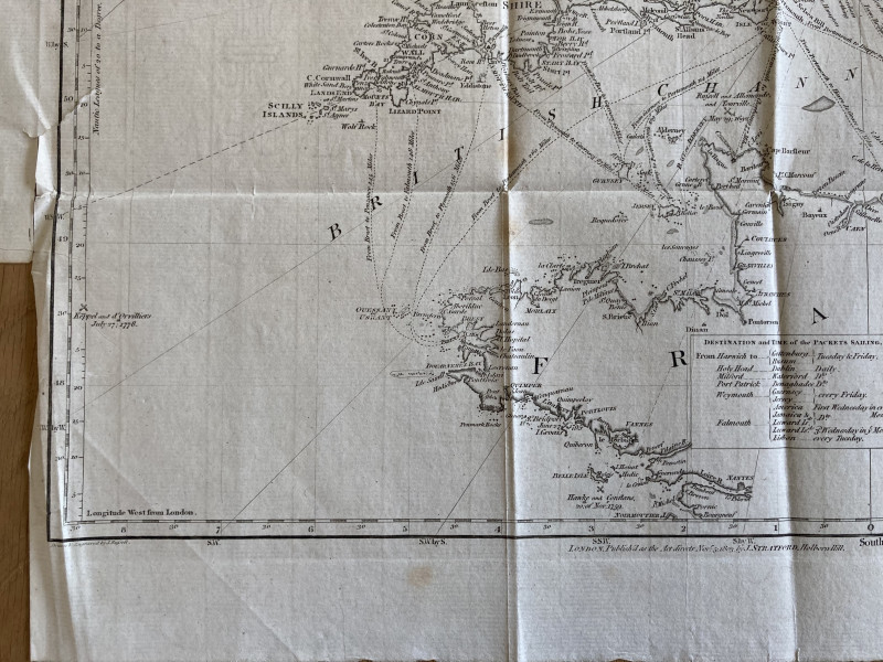
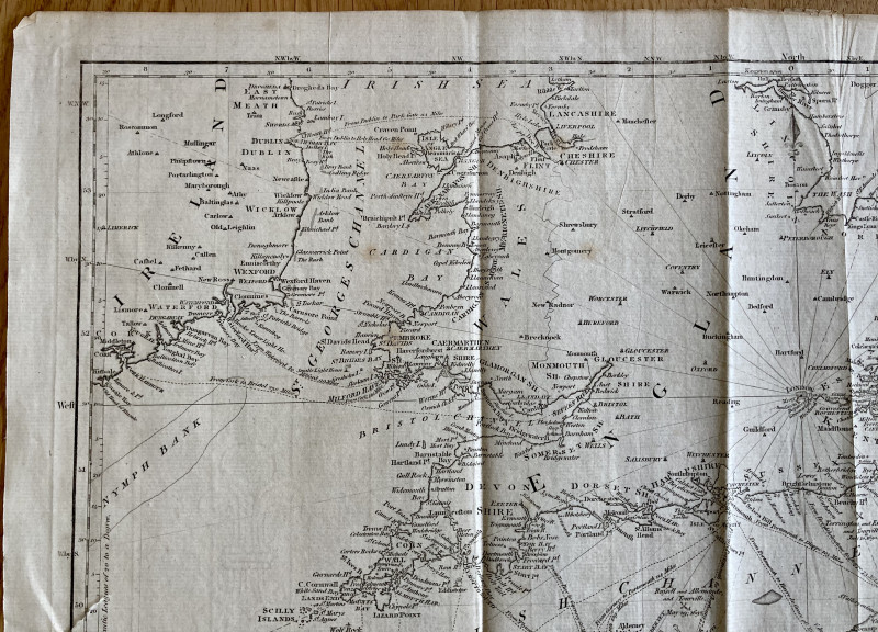
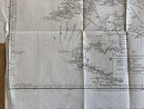
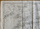
Chart of the British Channel with the Opposite Coast of the United Kingdom, and the Republic of France.

Book Description
J. Stratford, Nov. 5th, 1803, engraved map, plate impression 340mm x 420mm, sheet circa 385mm x 450mm, watermarked 1801, horizontal and vertical folds, some wear/creasing and tanning to top and side edges of sheet, some light foxing within image.
Author
RUSSELL, J.
Other books
If you liked the book you've just seen, you might be interested in other books from the same dealer below.
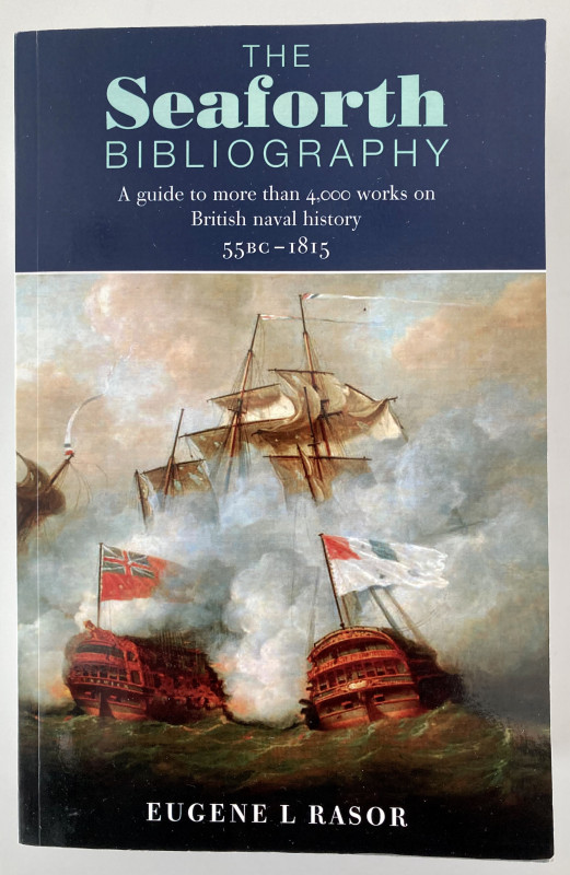
The Seaforth Bibliography, A Guide to more than 40...
RASOR, Eugene L.
£15.00
Offered by Paul Hughes
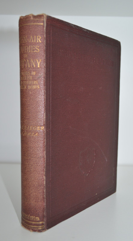
Open-Air Studies in Botany: Sketches of British Wi...
PRAEGER, R. Lloyd
£60.00
Offered by Paul Hughes

The Stockton and Darlington Railway 1825, An archi...
DEAN, S. C. and GARD, R. M.
£23.00
Offered by Paul Hughes
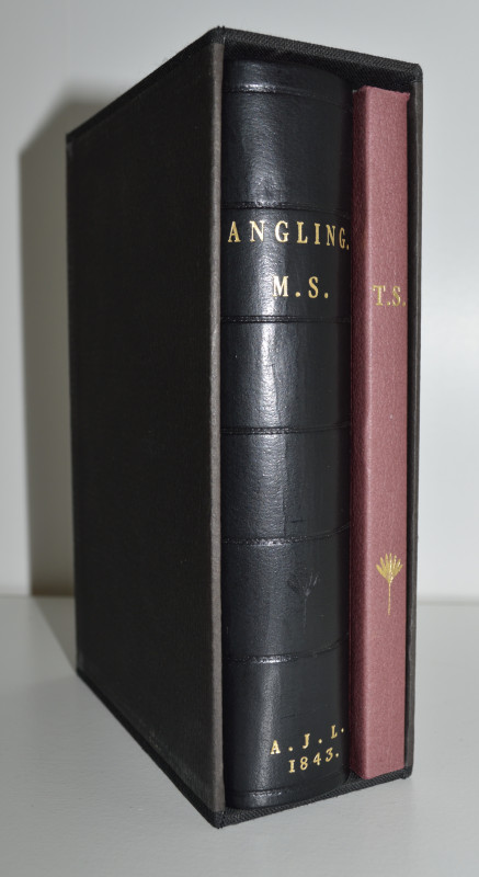
The Diary Of A. J. Lane, With a Description of Tho...
LANE, [Arthur James]
£95.00
Offered by Paul Hughes
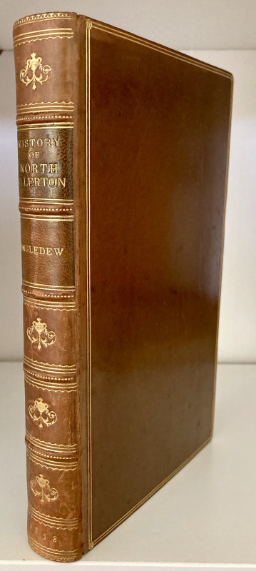
The History and Antiquities of North Allerton [Nor...
INGLEDEW, C. J. Davison
£70.00
Offered by Paul Hughes

Ireland's Birds, Their Distribution and Migrations
RUTTLEDGE, Robert F.
£16.00
Offered by Paul Hughes
Health, Medicine and the Sea, Australian Voyages c...
FOXHALL, Katherine
£18.00
Offered by Paul Hughes
Friends of the PBFA
For £10 get free entry to our fairs, updates from the PBFA and more.
Please email info@pbfa.org for more information