An Historical, Topographical and Descriptive Account of the Weald of Kent.

Book Description
Dealer Notes
Other books
If you liked the book you've just seen, you might be interested in other books from the same dealer below.
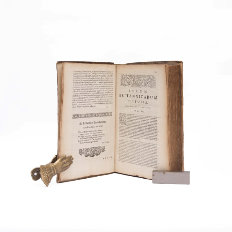
Historia rerum Britannicarum: Ut et multarum Galli...
Johnston, Robert:
Amstelaedami [Amsterdam]: sumptibus Joannis Ravesteynii [colophon:Goudae [Gouda], typis Guilielmi van der Hoeve.]
£500.00
Offered by Unsworth's Antiquarian Booksellers
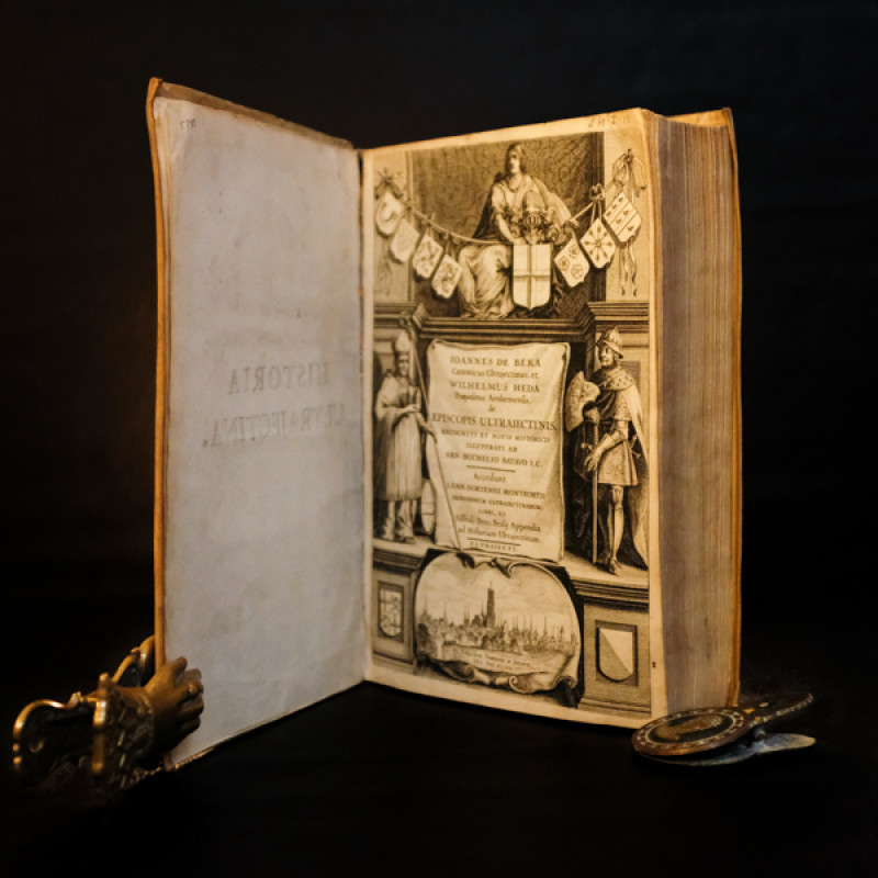
De Episcopis Ultraiectinis, recogniti et notis his...
De Beka, Johannes & Heda, Wilhelmus:
Utraiecti [Utrecht]: ex officina Ioannis a Doorn,
£300.00
Offered by Unsworth's Antiquarian Booksellers
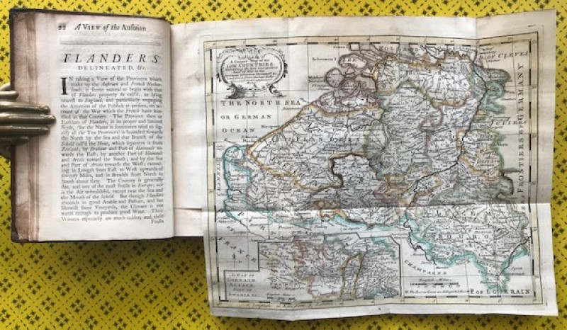
Flanders Delineated or, a view of the Austrian and...
[Military History]
Reading: printed and sold by J. Newbery and C. Micklewright, [...]
£1000.00
Offered by Unsworth's Antiquarian Booksellers
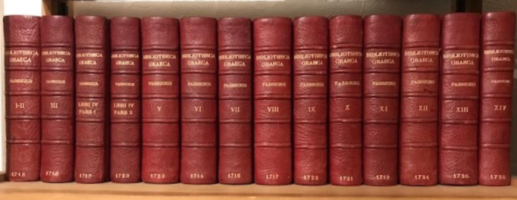
Bibliotheca Graeca, sive Notitia scriptorum veteru...
Fabricius, J.A.:
Hamburgi [Hamburg]: apud Christian Liebzeit & Theodor. Christoph. Felginer,
£1400.00
Offered by Unsworth's Antiquarian Booksellers
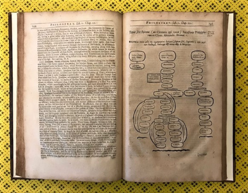
The two first books of Philostratus concerning the...
Philostratus, Lucius Flavius: (Blount, Charles, trans.:)
London: printed for Nathaniel Thompson,
£750.00
Offered by Unsworth's Antiquarian Booksellers
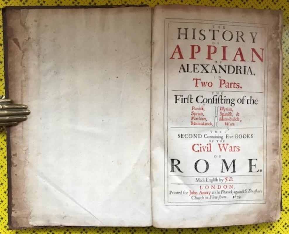
The History of Appian of Alexandria, in two parts....
Appian: (Davies, John, trans.:)
London: Printed for John Amery at the Peacock, [...],
£1000.00
Offered by Unsworth's Antiquarian Booksellers
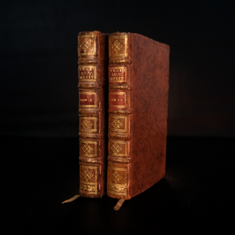
Traité du vrai mérite de l’homme […].
[Le Maître de Claville:]
A Paris: chez Saugrain, Grande Salle du Palais, a la Providence.
£150.00
Offered by Unsworth's Antiquarian Booksellers
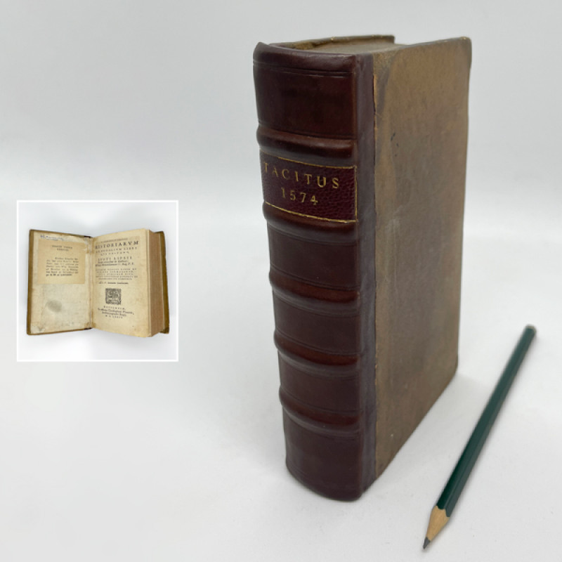
Historiarum et annalium libri qui exstant [...]
Tacitus, Caius(?) Cornelius: (Lipsius, Justus, ed.:)
Antuerpiæ [Antwerp]: ex officina Christophori Plantini,
£1750.00
Offered by Unsworth's Antiquarian Booksellers
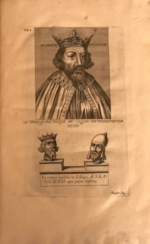
Aelfredi Magni Anglorum regis vita tribus libris c...
Spelman, Sir John: (Wase, C., trans; Walker, O., ed.:)
Oxonii [Oxford], e Theatro Sheldoniano,
£750.00
Offered by Unsworth's Antiquarian Booksellers
Comoediae. Recensuit, notasque suas et Gabrielis F...
[Terence] Terentius Afer, Publius: (Phaedrus; Publilius Syrus:) (Bentley, Richard, ed.:)
Amstelaedami [Amsterdam]: Apud R. & J. Wetstenios, & G. Smith,
£400.00
Offered by Unsworth's Antiquarian Booksellers
Friends of the PBFA
Please email info@pbfa.org for more information