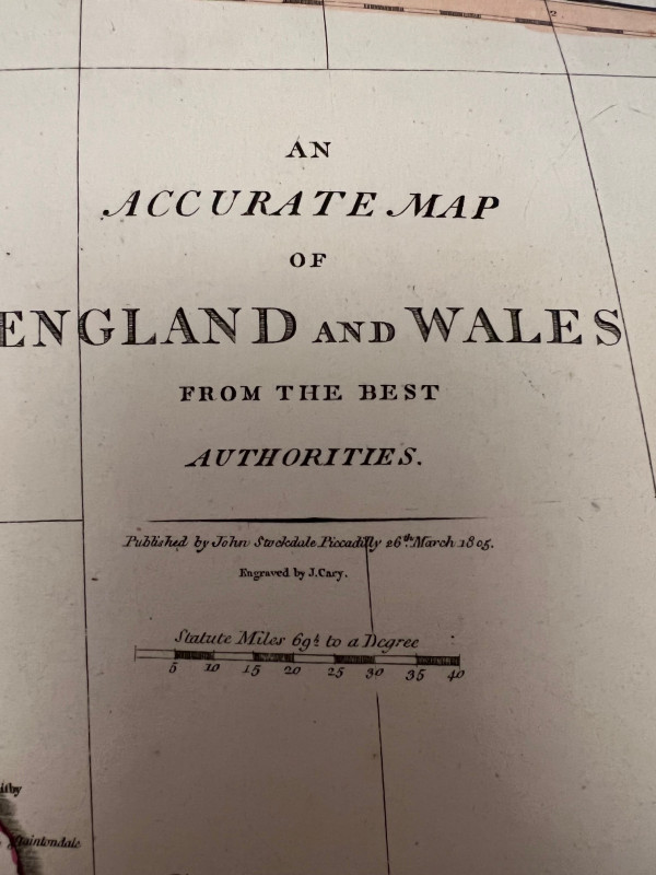
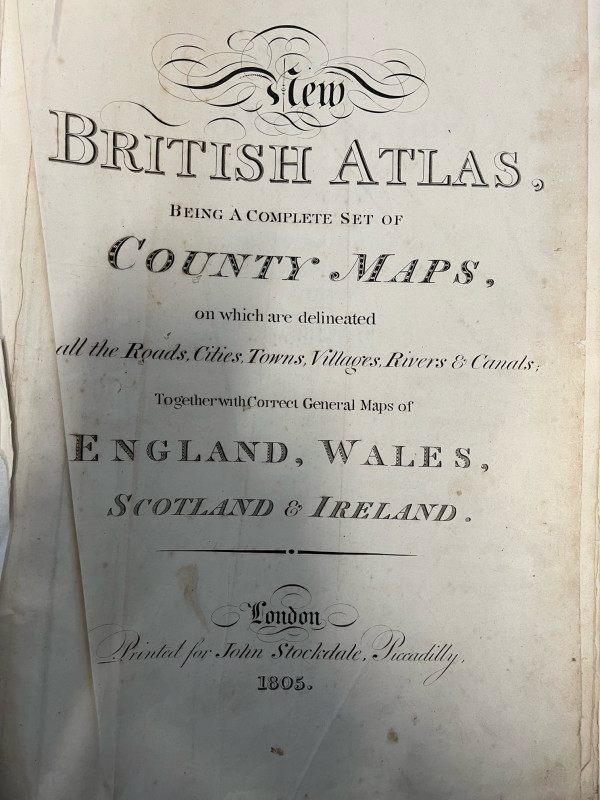
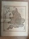
An Accurate Map of England and Wales from the Best Authorities

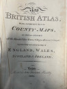
Book Description
Dealer Notes
Other books
If you liked the book you've just seen, you might be interested in other books from the same dealer below.
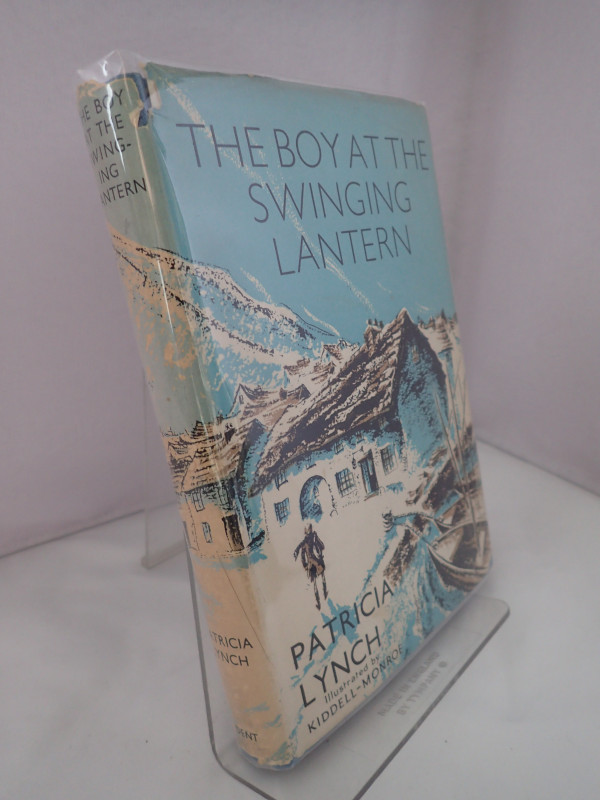
The Boy at the Swinging Lantern
LYNCH, Patricia
J M Dent & Sons Ltd
£60.00
Offered by Yatton Books & Prints
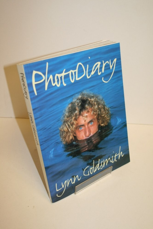
Photo Diary
GOLDSMITH, Lynn
Rizzoli International Publications Inc
£12.00
Offered by Yatton Books & Prints
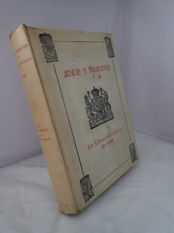
The Names and Surnames of all the Able and Suffici...
SMITH, John
Henry Sotheran and Co
£80.00
Offered by Yatton Books & Prints
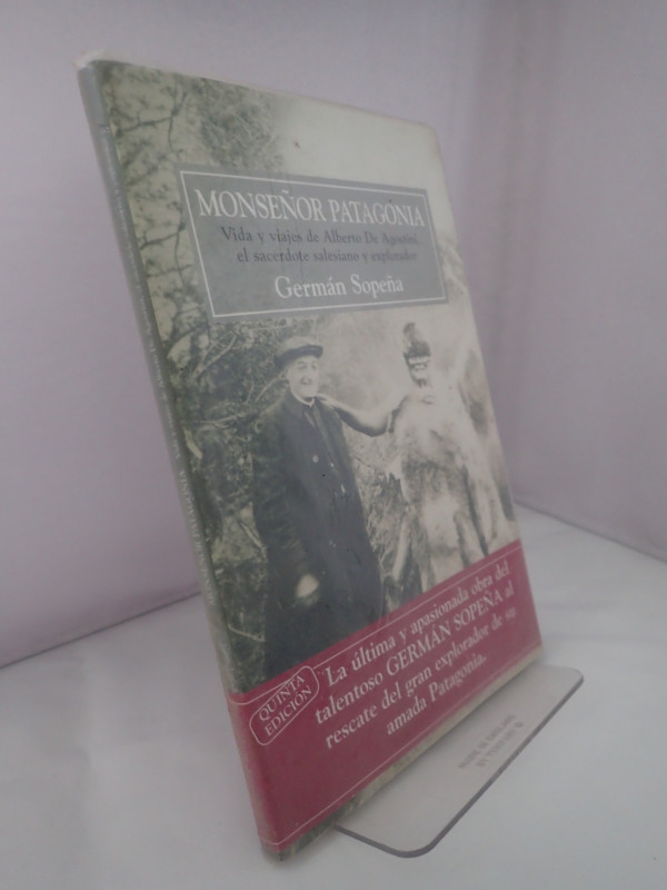
Monsenor Patagonia: Vida y Viajes de Alberto de Ag...
SOPENA, German
El Elefante Blanco
£12.00
Offered by Yatton Books & Prints
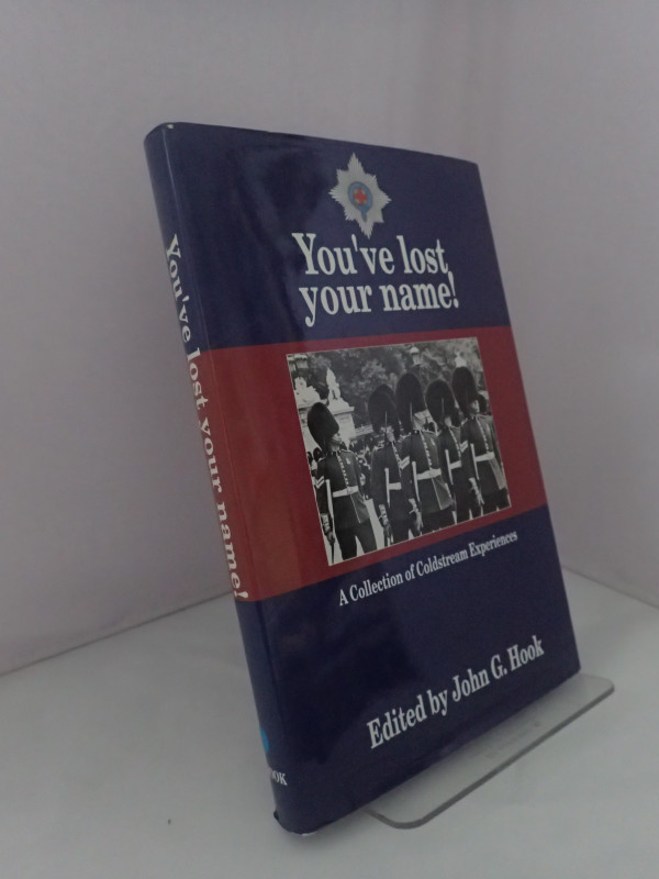
You've lost Your Name!: A Collection of Coldstream...
HOOK, John G (ed)
Privately Printed
£24.00
Offered by Yatton Books & Prints
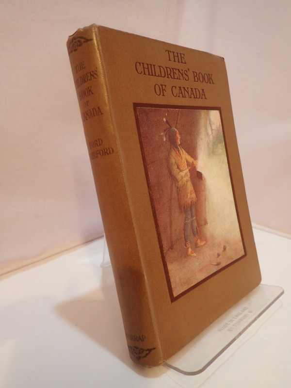
The Children's Book of Canada
FAIRFORD, Ford
George G Harrap & Company
£25.00
Offered by Yatton Books & Prints
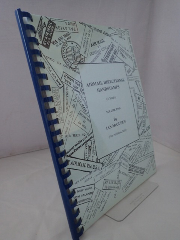
Airmail Directional Handstamps (A Study): Volume T...
McQUEEN, Ian
Privately Published
£25.00
Offered by Yatton Books & Prints
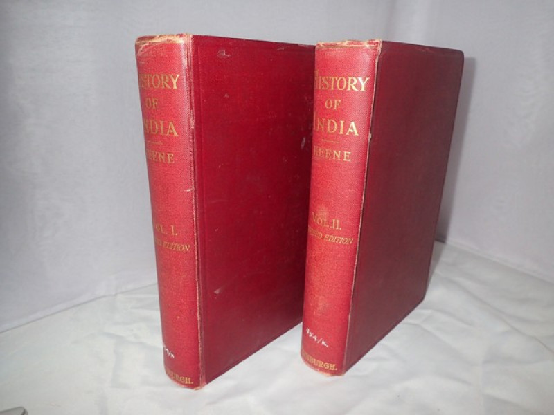
History of India from the Earliest Times to the En...
KEENE, H G
John Grant
£32.00
Offered by Yatton Books & Prints
Friends of the PBFA
Please email info@pbfa.org for more information