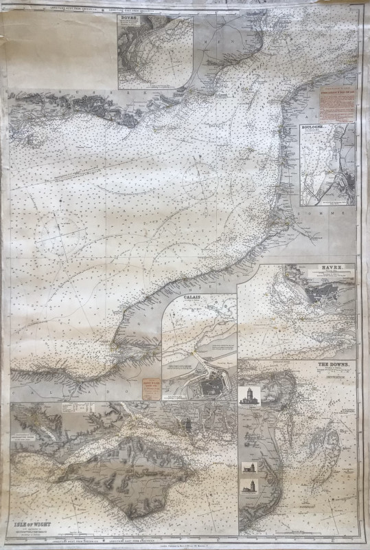
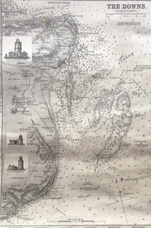
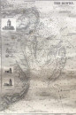
A NORIE AND WILSON SEA CHART

Book Description
Other books
If you liked the book you've just seen, you might be interested in other books from the same dealer below.
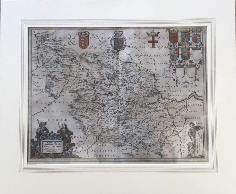
AN ORIGINAL BLAEU MAP OF THE WEST RIDING OF YORKSH...
Ducatus Eboracensis Pars Occidentalis
£250.00
Offered by John Underwood Antiquarian Books
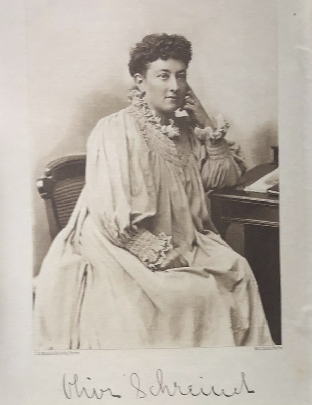
THE STORY OF AN AFRICAN FARM. Early Feminist Novel
Olive Schreiner
£110.00
Offered by John Underwood Antiquarian Books
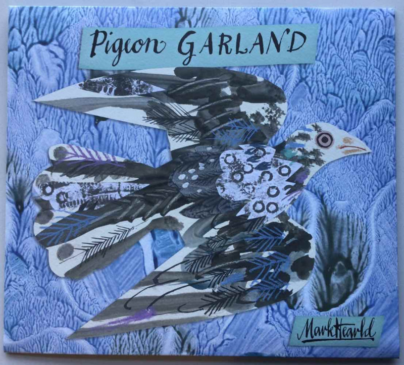
MARK HEARLD’S PIGEON GARLAND
Mark Hearld
Art Angels Publishing
£15.00
Offered by John Underwood Antiquarian Books
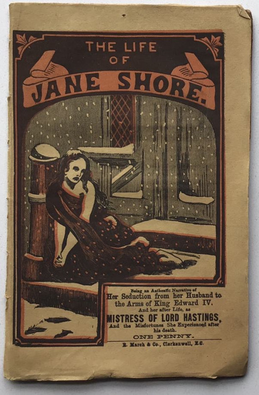
The Life of Jane Shore: Not in B.L.
“The Post Office Library”
R. March and Co, Clerkenwell
£75.00
Offered by John Underwood Antiquarian Books
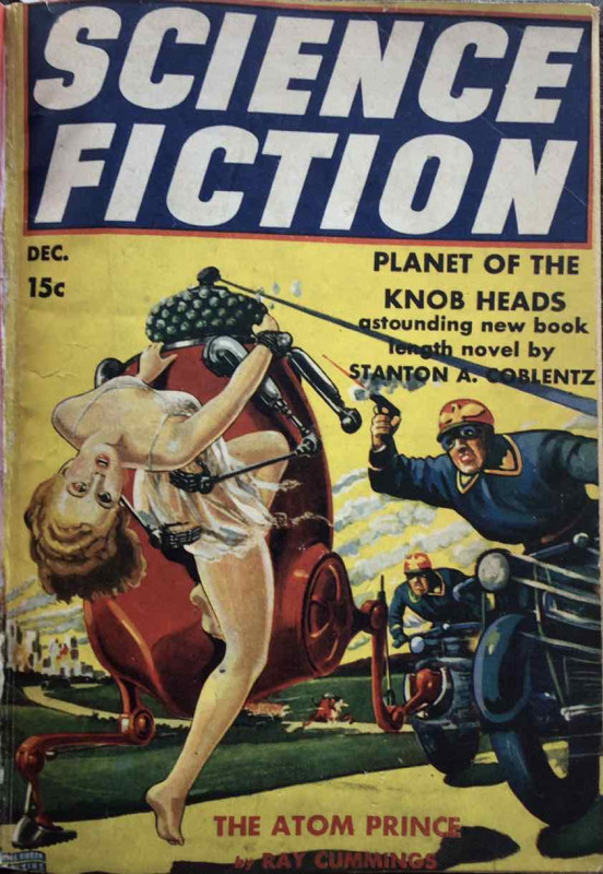
PLANET OF THE KNOB HEADS * RARE*
Stanton A. Coblentz
£150.00
Offered by John Underwood Antiquarian Books
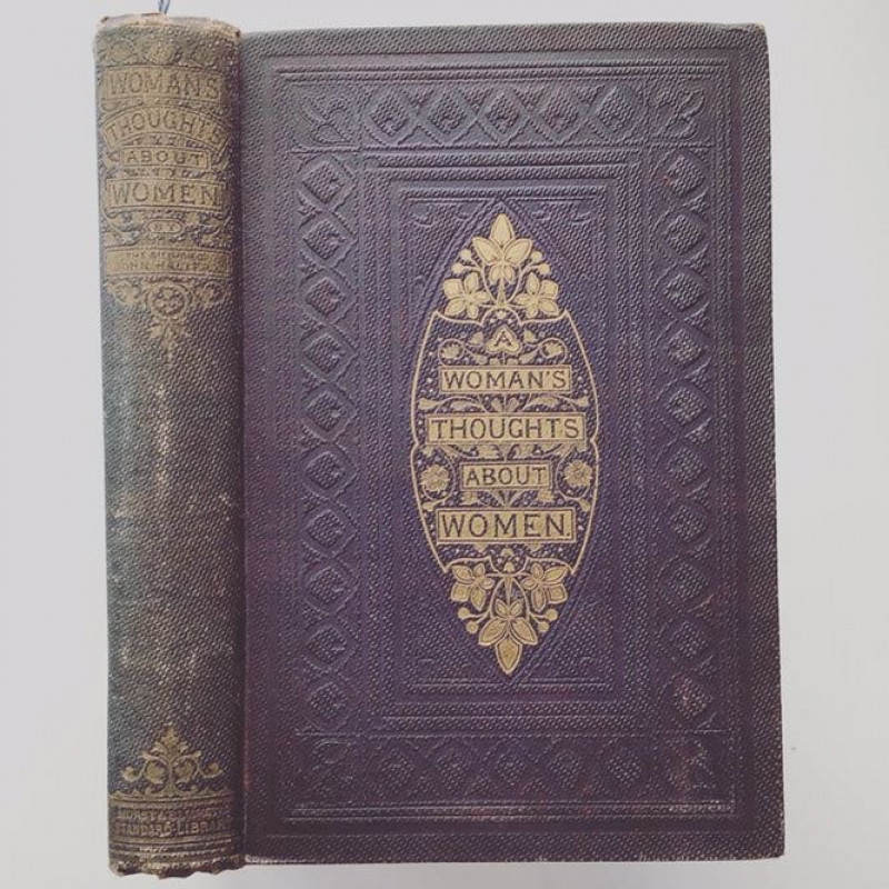
A WOMAN’S THOUGHTS ABOUT WOMEN 1859
Dinah Maria Mullock Craik
£150.00
Offered by John Underwood Antiquarian Books
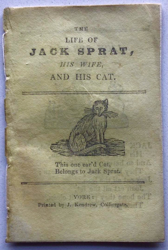
THE LIFE OF JACK SPRAT, HIS WIFE, AND HIS CAT
KENDREW OF YORK CHAPBOOK
£55.00
Offered by John Underwood Antiquarian Books
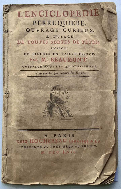
THE PERRUQUE IN PRE-REVOLUTIONARY FRANCE. “ S’EN T...
[BEAUMONT, M] Jean-Henri Marchand
£250.00
Offered by John Underwood Antiquarian Books
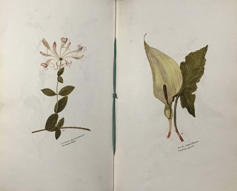
Manuscript Flora of Mid Cheshire
OWEN, Giles
Unpublished manuscript
£450.00
Offered by John Underwood Antiquarian Books
Friends of the PBFA
Please email info@pbfa.org for more information