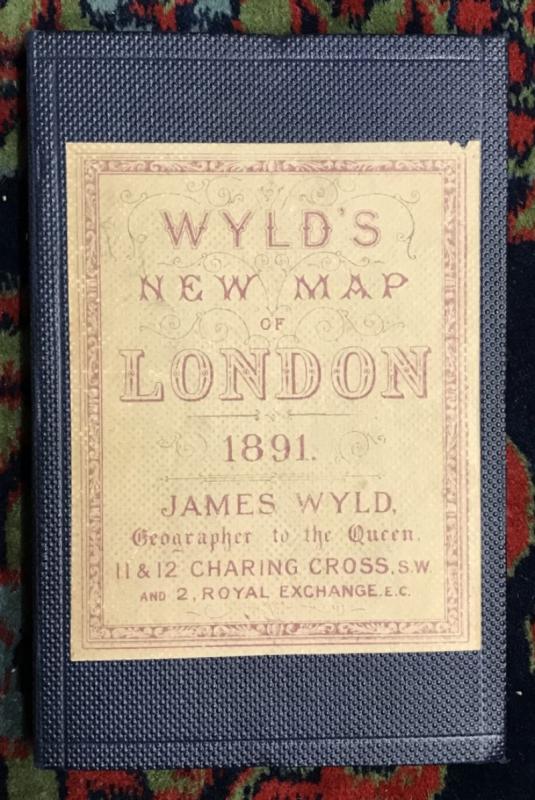
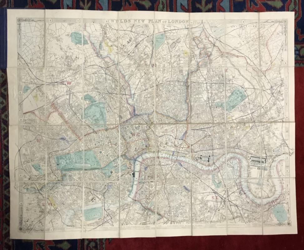
Wyld's New Map of London.
Book Description
Price: £375.00
Other books
If you liked the book you've just seen, you might be interested in other books from the same dealer below.
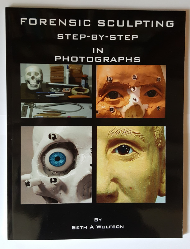
Forensic Sculpting Step-by-Step in Photographs.
Wolfson, Seth A.
Realsculpt Press
£55.00
Offered by Duncan M & V Allsop Antiquarian & Modern Books

The Forest of Boland Light Railway.
'BB'
Eyre & Spottiswoode
£55.00
Offered by Duncan M & V Allsop Antiquarian & Modern Books
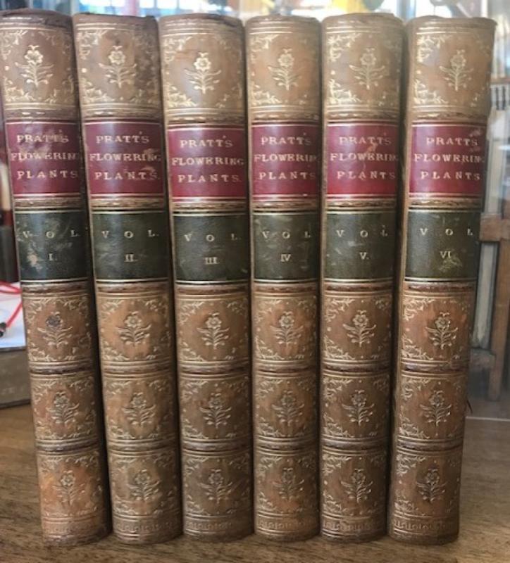
The Flowering Plants, Grasses, Sedges, and Ferns o...
Pratt, Anne
Frederick Warne & Co.
£575.00
Offered by Duncan M & V Allsop Antiquarian & Modern Books
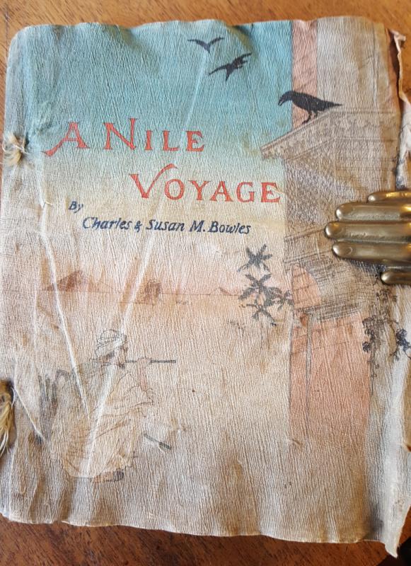
A Nile Voyage.
Bowles, Charles & Susan
The Red Cross Library
£875.00
Offered by Duncan M & V Allsop Antiquarian & Modern Books
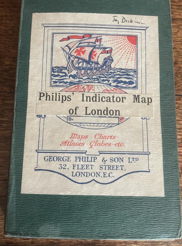
Philip's Tape Indicator Map of London.
George Philip
George Philip & Son
£175.00
Offered by Duncan M & V Allsop Antiquarian & Modern Books
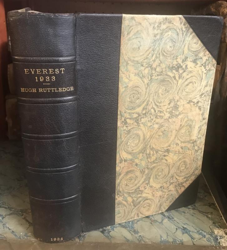
Everest 1933.
Ruttledge, Hugh
Hodder & Stoughton
£125.00
Offered by Duncan M & V Allsop Antiquarian & Modern Books
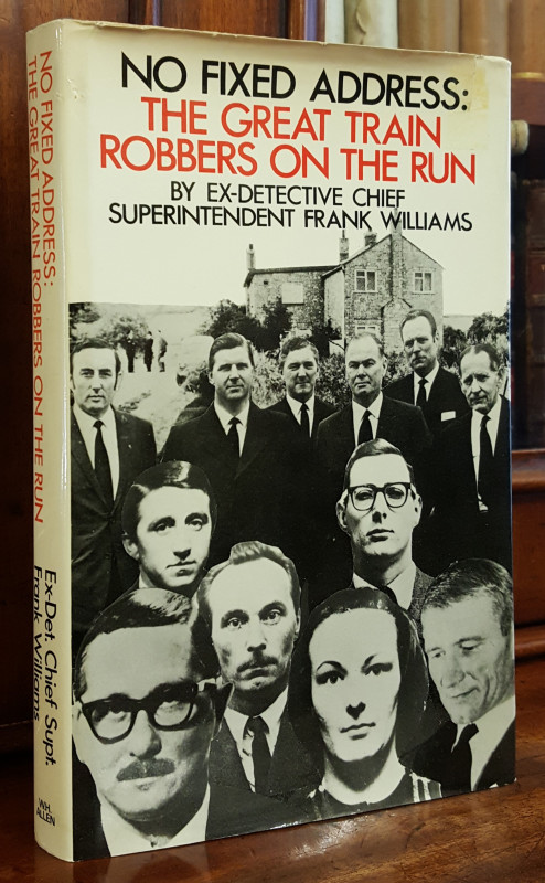
No Fixed Address - Life on the run for the Great T...
Williams, Frank
W. H. Allen
£65.00
Offered by Duncan M & V Allsop Antiquarian & Modern Books
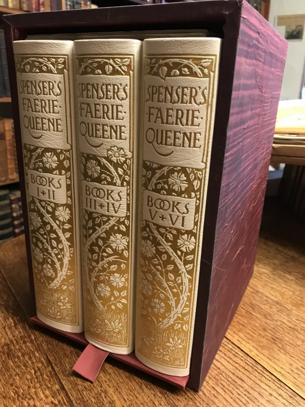
Spenser's Faerie Queene
Edmund Spenser. Ed. by Thomas J. Wise,
The Folio Society
£1275.00
Offered by Duncan M & V Allsop Antiquarian & Modern Books
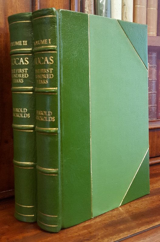
Lucas: The First Hundred Years (Vols. I & II).
Nockolds, Harold
David & Charles
£195.00
Offered by Duncan M & V Allsop Antiquarian & Modern Books
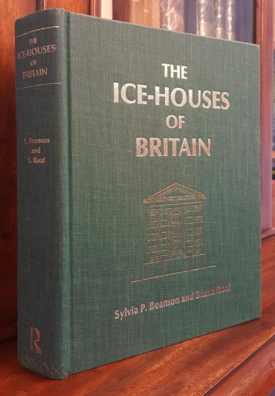
The Ice-Houses of Britain.
Beamon, Sylvia P. & Roaf, Susan
Routledge
£450.00
Offered by Duncan M & V Allsop Antiquarian & Modern Books
Friends of the PBFA
Please email info@pbfa.org for more information