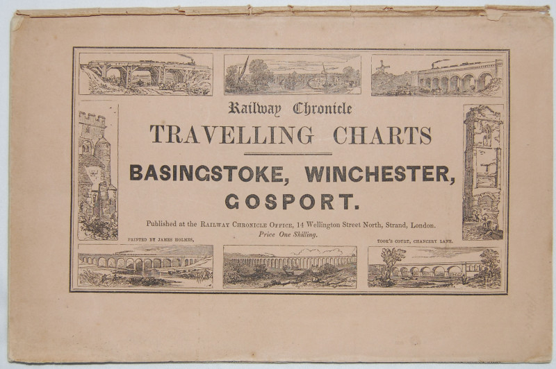
Travelling charts Basingstoke, Winchester and Gosport.

Book Description
Other books
If you liked the book you've just seen, you might be interested in other books from the same dealer below.
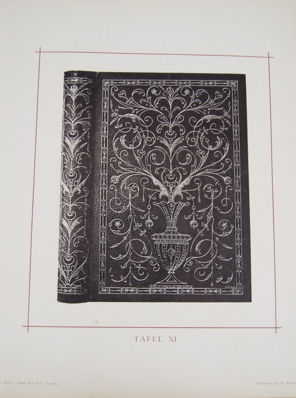
Deutsche bucheinbande der neuzeit.
MAUL, Johannes
Leipzig, Verlag von Karl W. Hiersemann,
£480.00
Offered by Cobnar Books
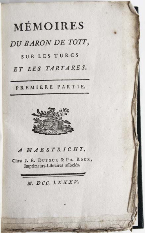
Memoires du Baron De Tott sur les Turcs et les Tar...
TOTT, Francois de, Baron
Maestricht, Chez J. E. Dufour & Ph. Roux,
£400.00
Offered by Cobnar Books
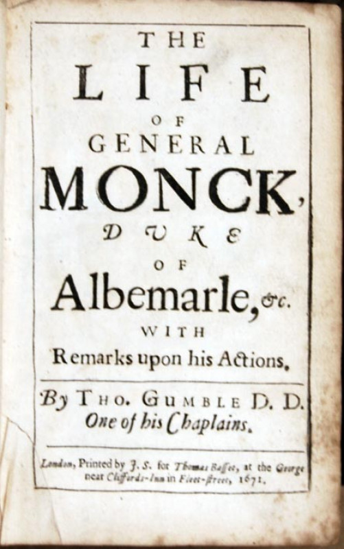
The life of General Monck, Duke of Albemarle
GUMBLE, Thomas
London, Printed by J. S. for Thomas Basset, at the George near Cliffords-Inn in Fleet-street,
£295.00
Offered by Cobnar Books

An old Philadelphian, Colonel WIlliam Bradford
WALLACE, John William
£120.00
Offered by Cobnar Books

The freedom of the press in the Dutch Republic (15...
NIJHOFF, Martinus
The Hague, Martinus Nojhoff,
£45.00
Offered by Cobnar Books

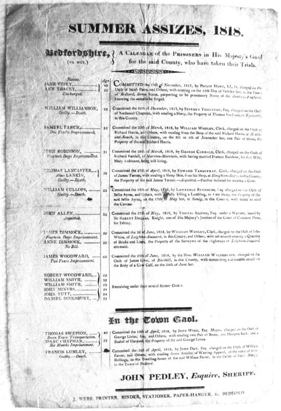
A Calendar of the prisoners in His Majesty's Gaol...
BEDFORDSHIRE SUMMER ASSIZES, 1818
J. Webb, Printer, Binder, Stationer, Paper-hanger, &c. Bedford.
£350.00
Offered by Cobnar Books
Friends of the PBFA
Please email info@pbfa.org for more information