The Large Scale County Maps of the British Isles 1596-1850, a union list
Book Description
Published by the Bodleian Library, Oxford, 1960, 1st edition. Paperback. Thin card covers with black lettering and illustration from Martyn's map of Cornwall, 1748 to front cover. 9.75ins x 6.25ins, xx, 52pp. Arranged alphabeticaally by county covering England, Wales, Islands, Scotland and Ireland. Includes index of names and index of places. VG.
Dealer Notes
stock no: 49946
Author
Rodger, Elizabeth M.
Date
1960
Binding
card covers
Publisher
Bodleian Library
Condition
VG
Other books
If you liked the book you've just seen, you might be interested in other books from the same dealer below.
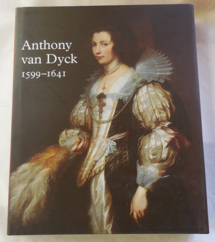
Anthony Van Dyck 1599-1641
Brown, Christopher & Vlieghe, Hans
Royal Academy Publications
£15.00
Offered by Missing Books
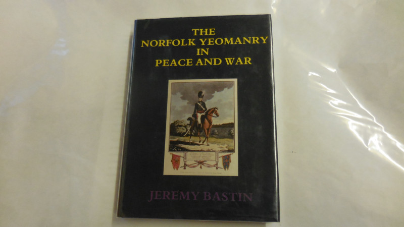
The Norfolk Yeomanry in Peace and War, 1782-1961
Bastin, Jeremy
Iceni Press
£15.00
Offered by Missing Books
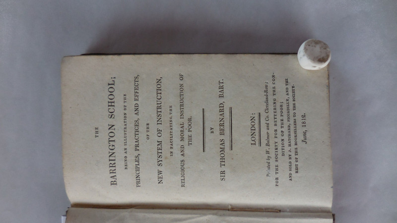
The Barrington School; being an illustration of th...
Sir Thomas Bernard
W.Bulmer & Co
£250.00
Offered by Missing Books
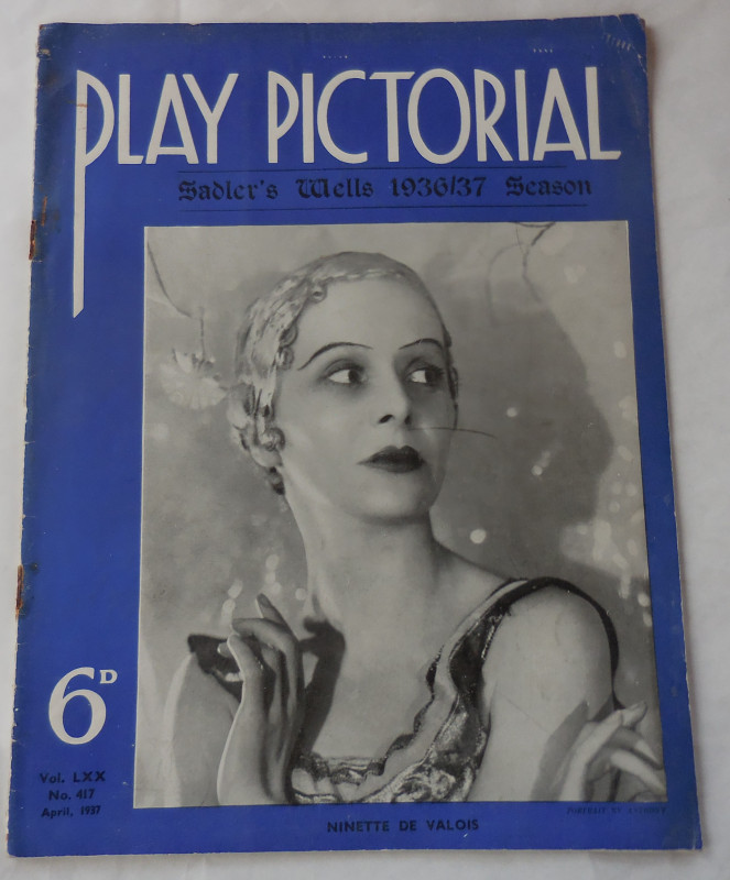
The Play Pictorial no 417 "Sadler's Wells 1936/37...
anon
Play Pictorial
£4.00
Offered by Missing Books
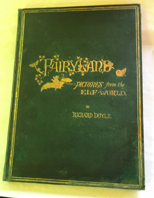
In Fairyland - a series of pictures from the Elf-W...
Doyle, Richard / William Allingham
Longmans
£450.00
Offered by Missing Books
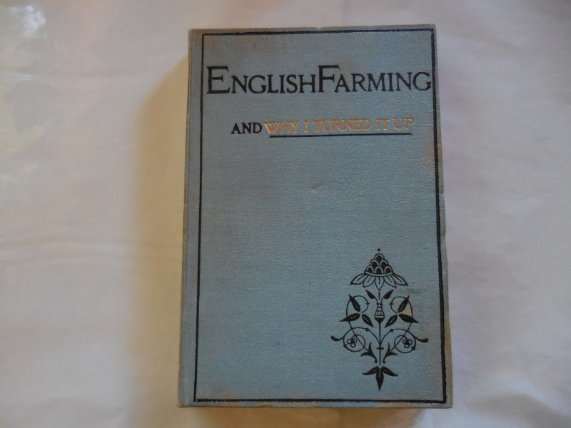
English Farming and why I turned it up
Bramah, Ernest
Leadenhall Press
£85.00
Offered by Missing Books
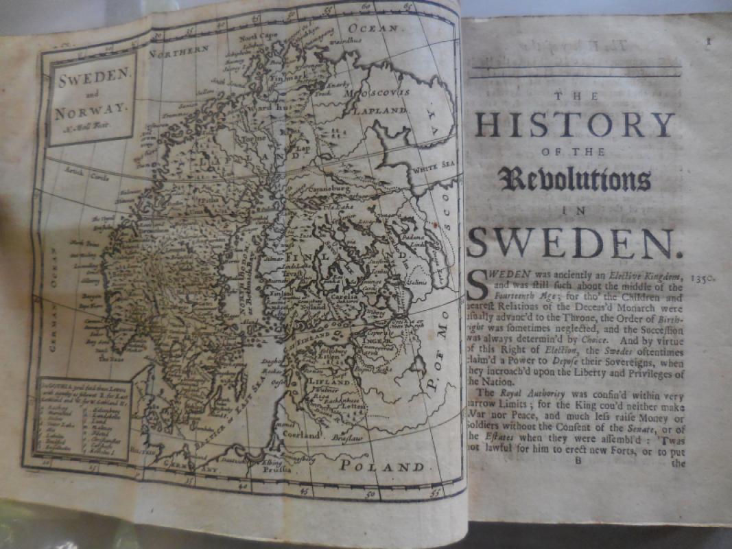
The History of the Revolutions in Sweden, occasion...
Abbot Vertot (trans J. Mitchel)
Tim. child at the White Hart
£100.00
Offered by Missing Books
Friends of the PBFA
For £10 get free entry to our fairs, updates from the PBFA and more.
Please email info@pbfa.org for more information