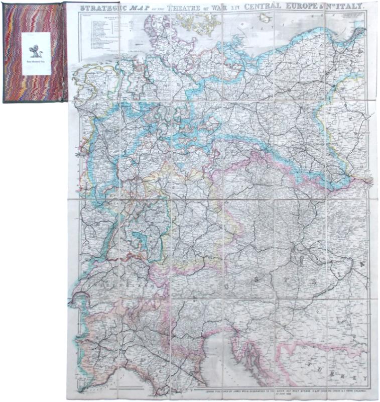
Strategic Map of the Theatre of War in Central Europe & Nth. Italy.
Book Description
Dealer Notes
Other books
If you liked the book you've just seen, you might be interested in other books from the same dealer below.
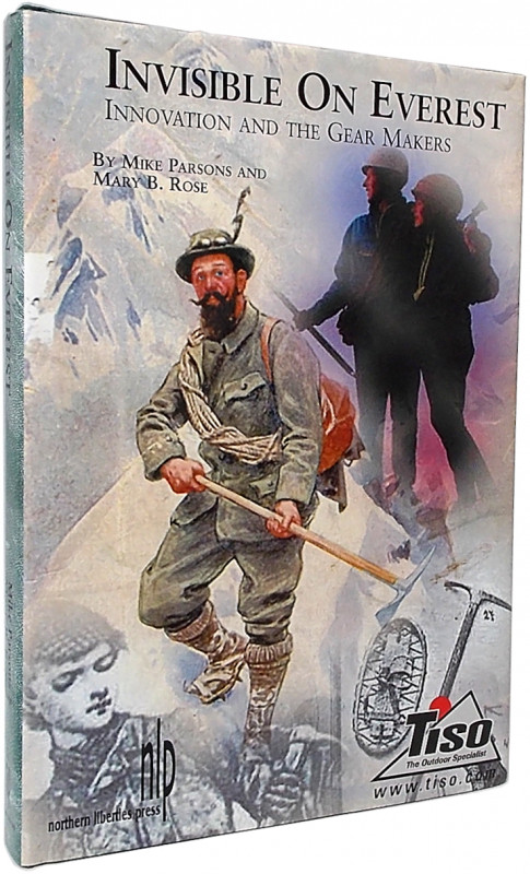
Invisible on Everest. Innovation and the Gear Make...
Parsons, Mike and Mary B. Rose.
Philadelphia, etc.: Northern Liberties Press
£50.00
Offered by Meridian Rare Books
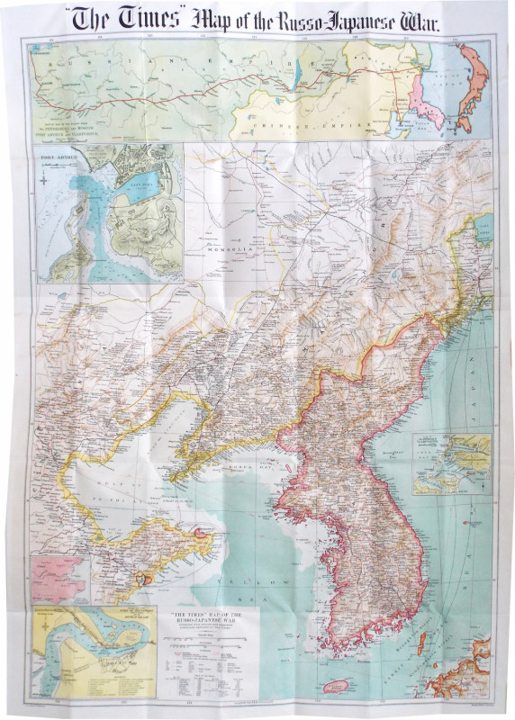
“The Times” Map of the Russo-Japanese War.
[Russo-Japanese War.]
London: The Times Office
£125.00
Offered by Meridian Rare Books
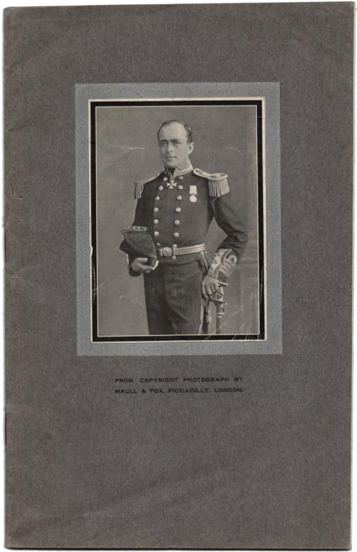
Souvenir of Lecture: “The British Antarctic Expedi...
Evans, Captain E. R. G. R.
Bristol: Geo. Gordon & Son, n.d. [1913]
£475.00
Offered by Meridian Rare Books
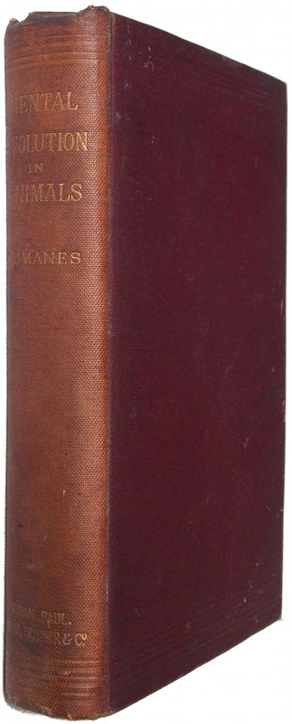
Mental Evolution in Animals . . . With a Posthumou...
Romanes, George John.
London: Kegan Paul, Trench & Co.
£125.00
Offered by Meridian Rare Books
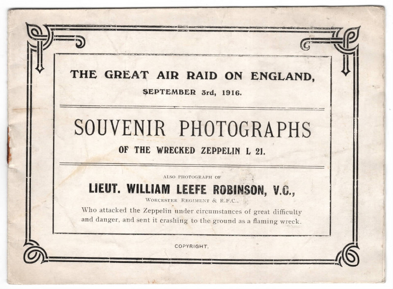
The Great Air Raid on England, September 3rd, 1916...
[Zeppelin.]
[St. James’s Press, London].
£125.00
Offered by Meridian Rare Books
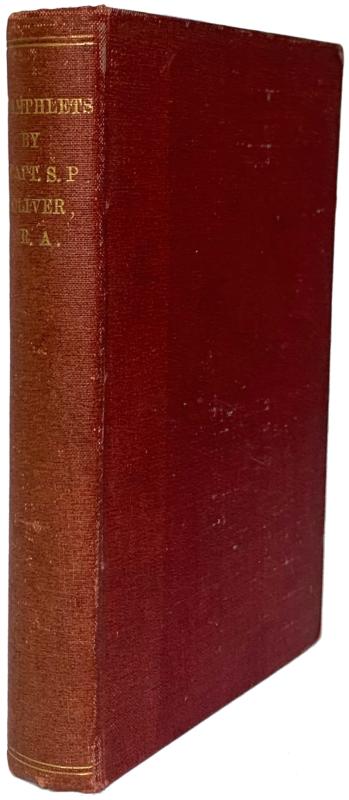
The Geology of Saint Helena; [bound with] six work...
Oliver, John Ryder; Samuel Pasfield Oliver.
St. Helena: Benjamin Grant
£150.00
Offered by Meridian Rare Books
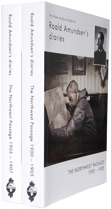
Roald Amundsen’s Diaries from the Northwest Passag...
Amundsen, Roald.
Oslo: The Fram Museum
£50.00
Offered by Meridian Rare Books
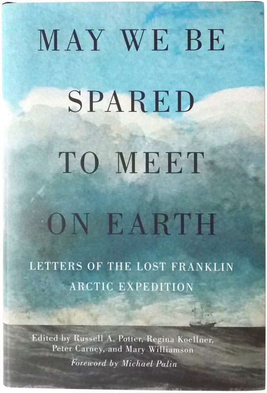
May we be spared to meet on earth. Letters of the...
[Franklin.] Russell A. Potter, Regina Koellner, Peter Carney and Mary Williamson, eds.
McGill-Queen’s University Press
£35.00
Offered by Meridian Rare Books
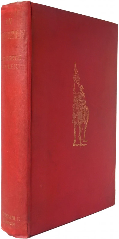
A Diary in the East during a Tour of the Prince an...
Russell, William Howard.
London: George Routledge and Sons
£250.00
Offered by Meridian Rare Books
Friends of the PBFA
Please email info@pbfa.org for more information