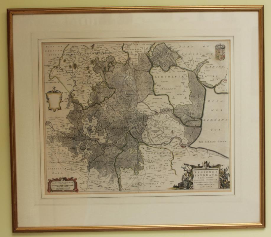
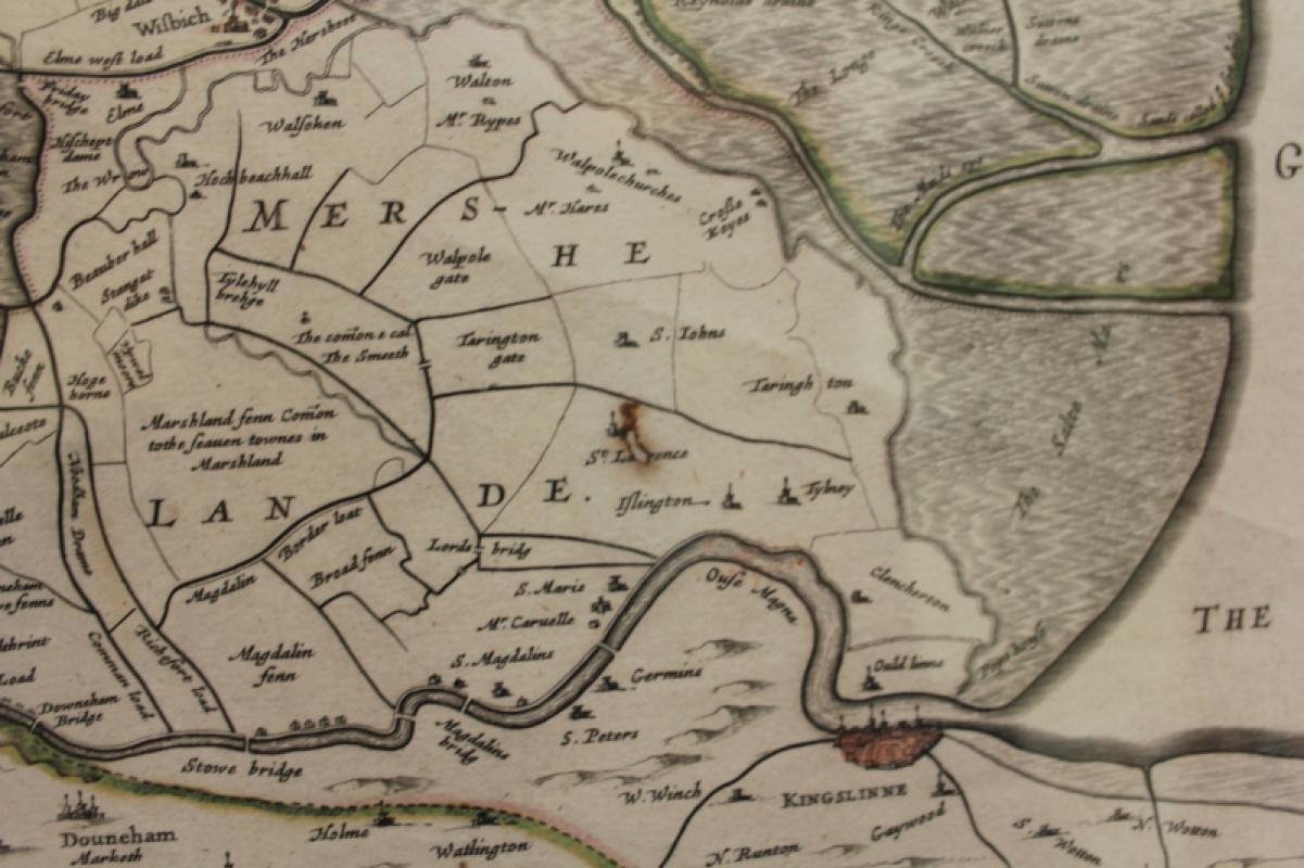
REGIONES INUNDATAE (Map of the Fens) #101588

Book Description
A very attractive, finely engraved and historically interesting 17th century map of Fens which was published by Joan Blaeu for his Atlas Maior (Amsterdam: 1664) and has the expected centre crease. The map is probably based on a now lost manuscript map by William Hayward and shows the Fens before they were drained by Cornelius Vermuyden in the 1650s. The map is orientated so North is pointing to the right. There is one very small hole, as seen. The map is mounted, framed and glazed. measures 56 x 44 cm approximately. 75 x 65cm framed.
Author
Joan Blaeu
Date
1664
Publisher
Joan Blaeu
Condition
Very Good
Other books
If you liked the book you've just seen, you might be interested in other books from the same dealer below.

The Velveteen Rabbit
Margery Williams illustrations by William Nicholson
Heinemann
£25.00
Offered by Sarah Key Books


Orlando (The Marmalade Cat) A Seaside Holiday
Kathleen Hale
Country Life
£175.00
Offered by Sarah Key Books
To War With Paper and Brush: Captain Ardizzone, Of...
Malcolm Yorke
The Fleece Press
£15.00
Offered by Sarah Key Books
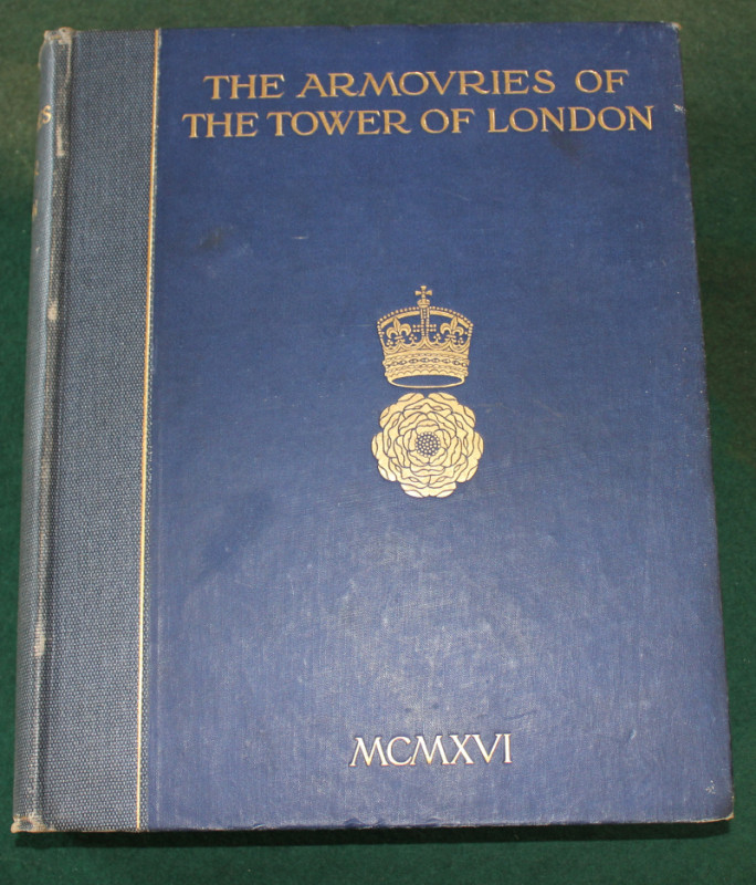
Inventory and SurveyThe Armories of The Tower of L...
Charles J. Ffoulkes
His Majesties Stationery Office
£40.00
Offered by Sarah Key Books
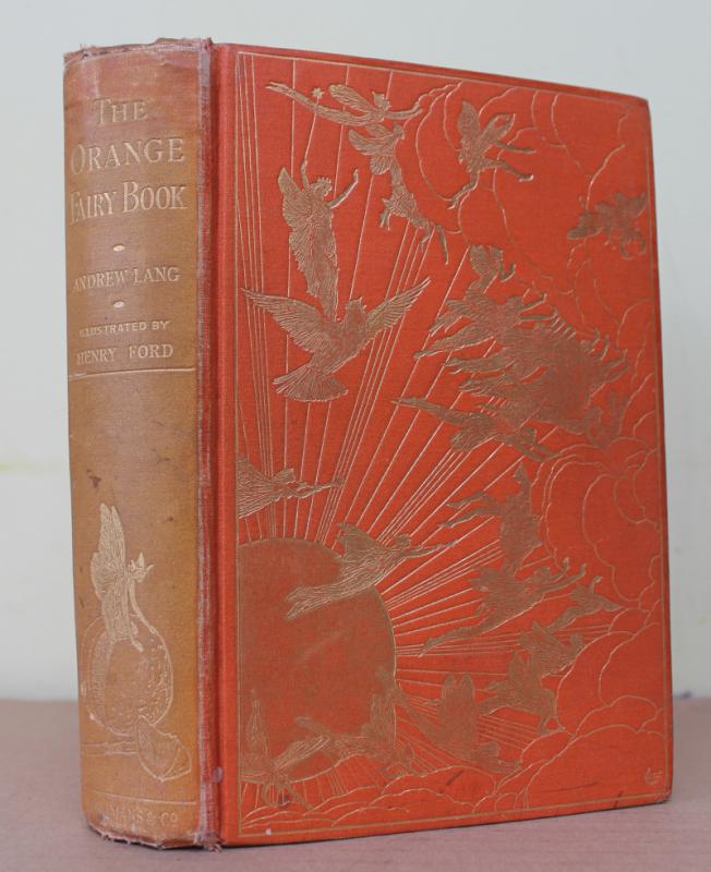
The Orange Fairy Book - First Edition - #101523
AndrewLang
Longmans, Green and co.
£300.00
Offered by Sarah Key Books

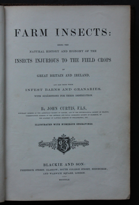
Farm Insects: Being the Natural History and Econom...
John Curtis
Blackie and Son
£175.00
Offered by Sarah Key Books
Friends of the PBFA
For £10 get free entry to our fairs, updates from the PBFA and more.
Please email info@pbfa.org for more information