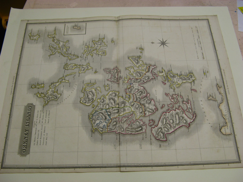
LARGE MAP/ATLAS OF ENGLAND AND WALES X20 SHEETS


Book Description
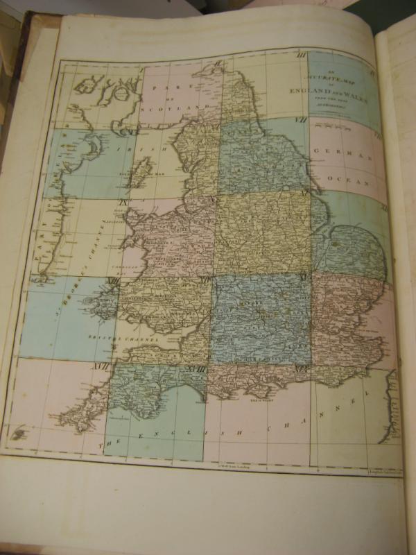
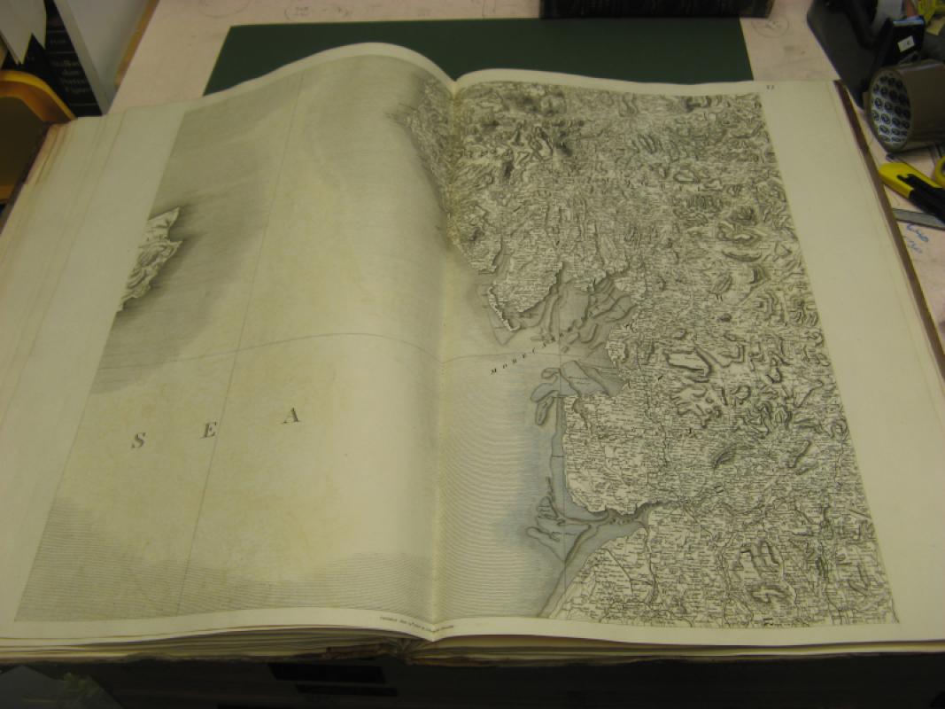
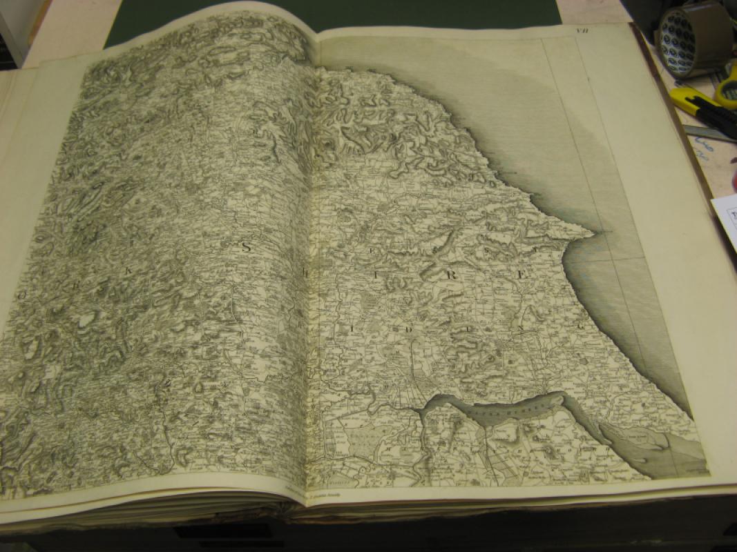
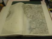
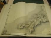
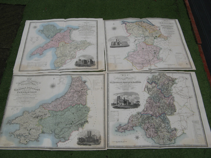
The STOCKDALE Large Scale Atlas Map of England and Wales with part of Scotland X20 is a rare and valuable collectable item, featuring detailed illustrations and being a first edition publication. Produced by STOCKDALE in 1809 in the United Kingdom, this leather-bound map is a unique piece of environmental and nature history, showcasing the topography of England, Wales, and part of Scotland in intricate detail. This original map is a must-have for any collector interested in historic cartography and British geography. LARGE SCALE MAP/ATLAS OF ENGLAND/WALES/PART OF SCOTLAND x20 large double sheet map 680mm x 600mm printed area plus margins light offsetting to a few maps ,complete with coloured key map large folio bindings 1/4 leather rebound book signed by lord stradbroke c1827 and bookplate light wear to outer edges of boards
Author
JOHN STOCKDALE
Date
1809
Binding
HARDBACK
Condition
VGC
Other books
If you liked the book you've just seen, you might be interested in other books from the same dealer below.
LARGE CIRCULAR FOLDING CLOTH BACKED MAP AROUND NEW...
ANON
ANON
£195.00
Offered by Claremont Books and Prints
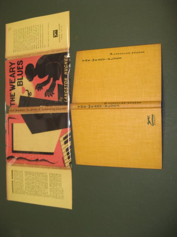
THE WEARY BLUES SIGNED BY AUTHOR
LANGSTON HUGHES
ALFRED KNOPF
£495.00
Offered by Claremont Books and Prints
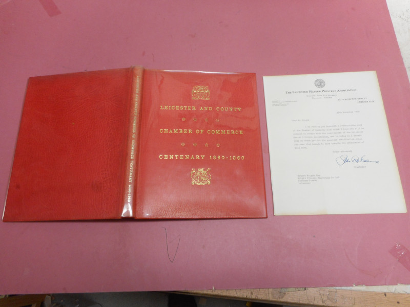
LEICESTER AND COUNTY CHAMBER OF COMMERCE CENTENARY...
RAITHBY LAWRENCE
£25.00
Offered by Claremont Books and Prints
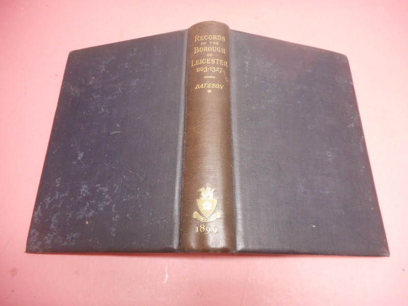
RECORDS OF THE BOROUGH OF LEICESTER 1103 - 1327
BATESON
C J CLAY
£30.00
Offered by Claremont Books and Prints
Friends of the PBFA
For £10 get free entry to our fairs, updates from the PBFA and more.
Please email info@pbfa.org for more information