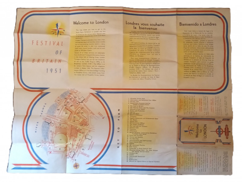
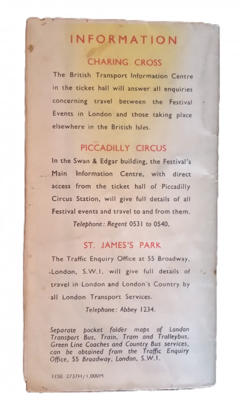
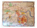
Festival of Britain London Underground Map


Book Description
Other books
If you liked the book you've just seen, you might be interested in other books from the same dealer below.
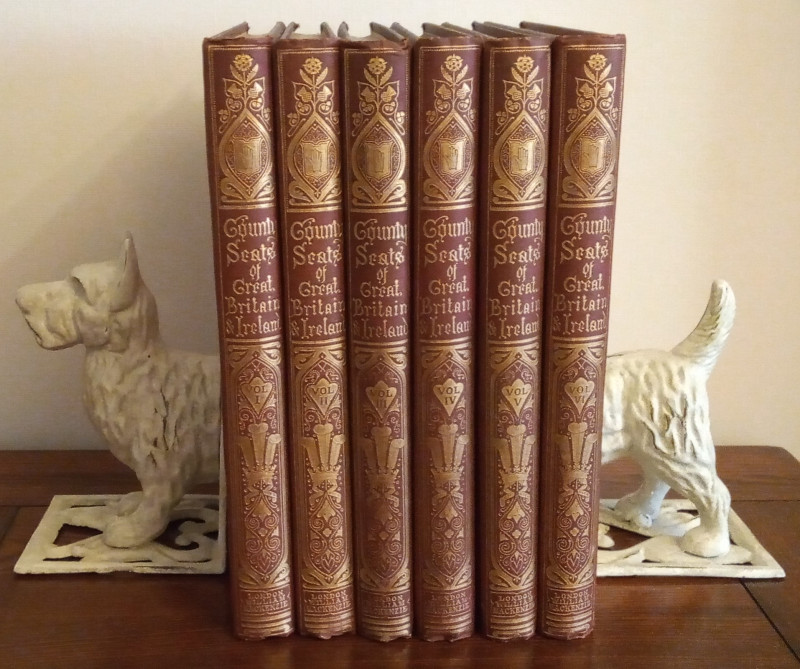
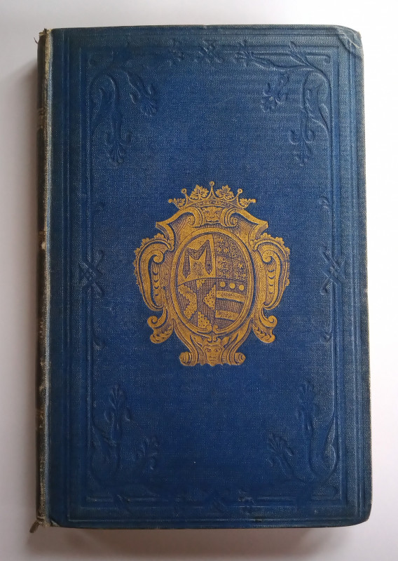
A Series of Picturesque Views of Seats of Noblemen...
Morris, Rev. F. O. (Editor):
William MacKenzie
£450.00
Offered by The Book House
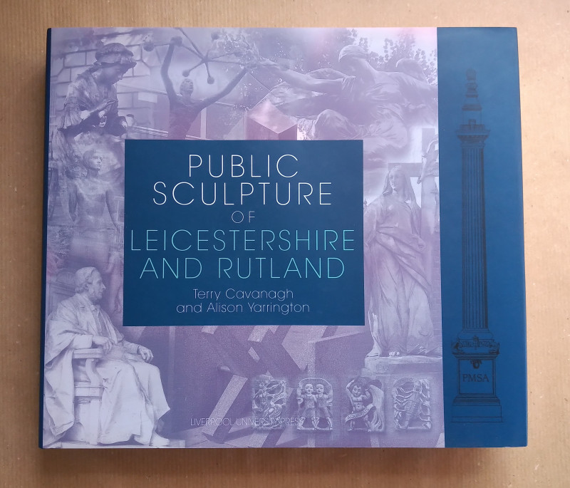
Public Sculpture of Leicestershire and Rutland
Terry Cavanagh & Alison Yarrington
Liverpool University Press
£12.00
Offered by The Book House
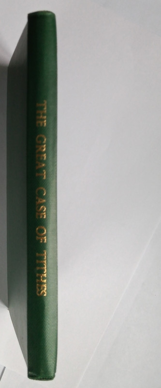
The Great Case of Tithes, Truly Stated, Clearly Op...
Anthony Pearson
Luke Hind, George Yard, Lombard-Street, London
£35.00
Offered by The Book House
The History & Description of Ashby-de-la-Zouch
with Excursions in the Neighbourhood
Hall & Co.,
£20.00
Offered by The Book House
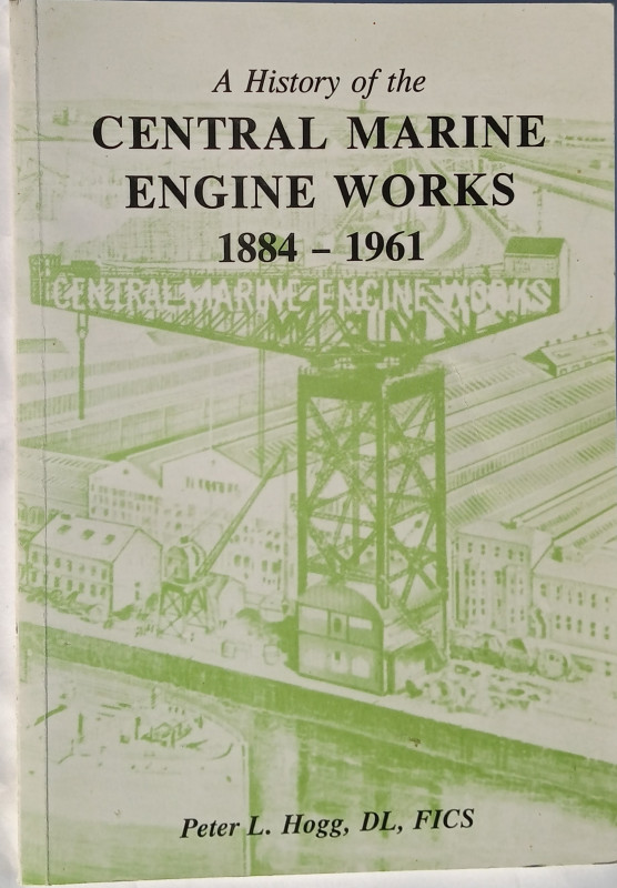
A History of the Central Marine Engine Works 1884-...
Peter L. Hogg
Hartlepool Borough Council
£10.00
Offered by The Book House
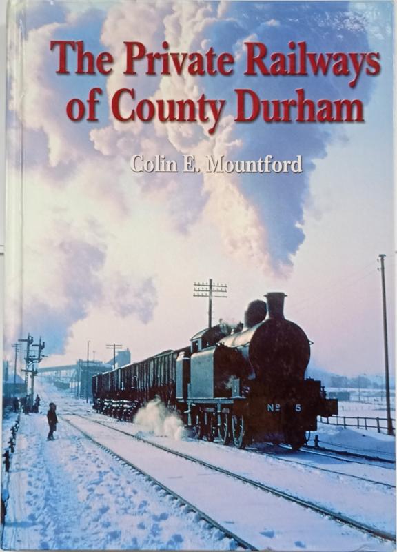
The Private Railways of County Durham
Colin E. Mountford
Industrial Railway Society
£30.00
Offered by The Book House
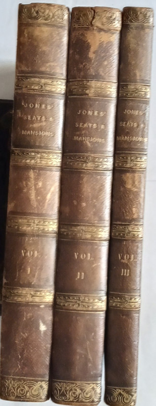
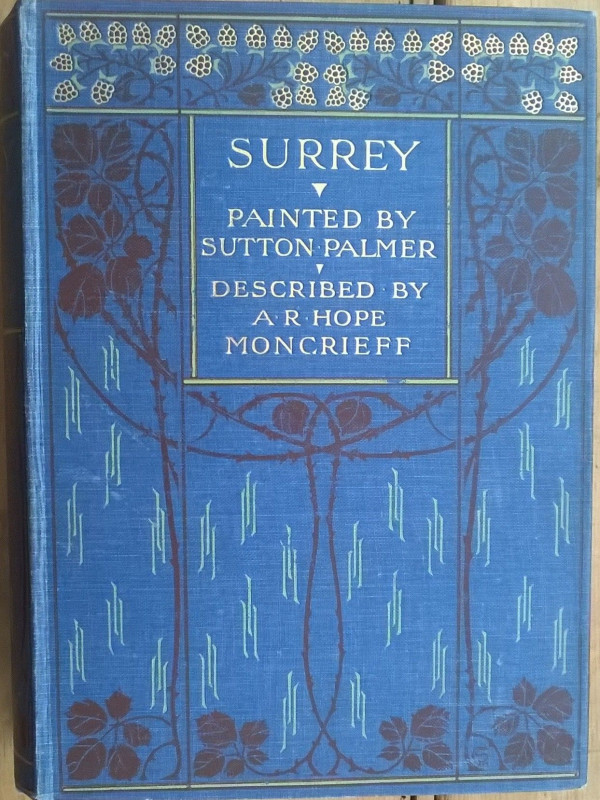
Jones' Views of the Seats, Mansions, Castles, &c....
Jones & Co:
Jones & Co, Temple of the Muses, Finsbury Square
£250.00
Offered by The Book House
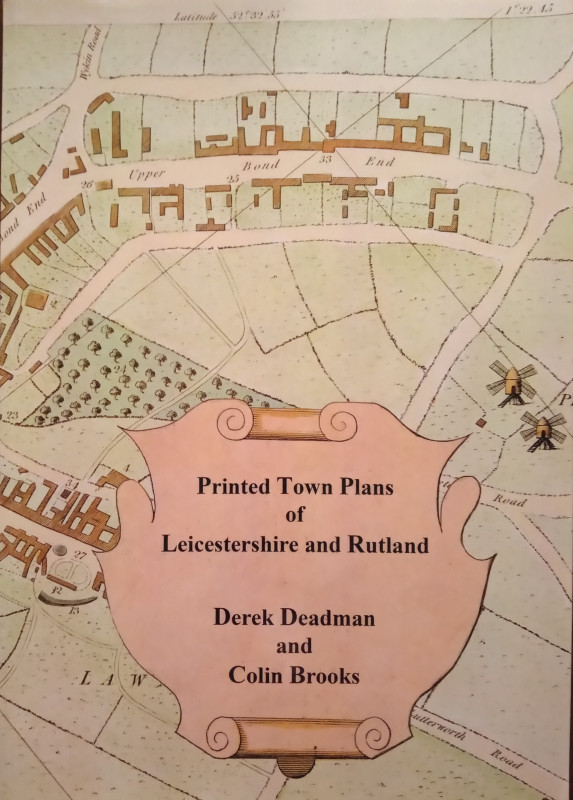
Printed Town Plans of Leicestershire and Rutland
Derek Deadman & Colin Brooks
The Landseer Press
£25.00
Offered by The Book House

Friends of the PBFA
Please email info@pbfa.org for more information