ENGLISH COUNTY ATLAS
Book Description
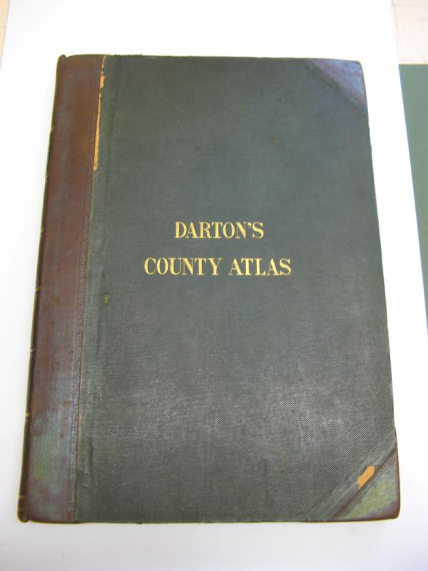
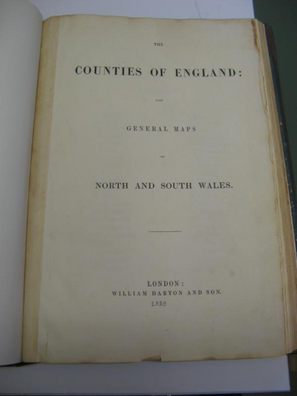
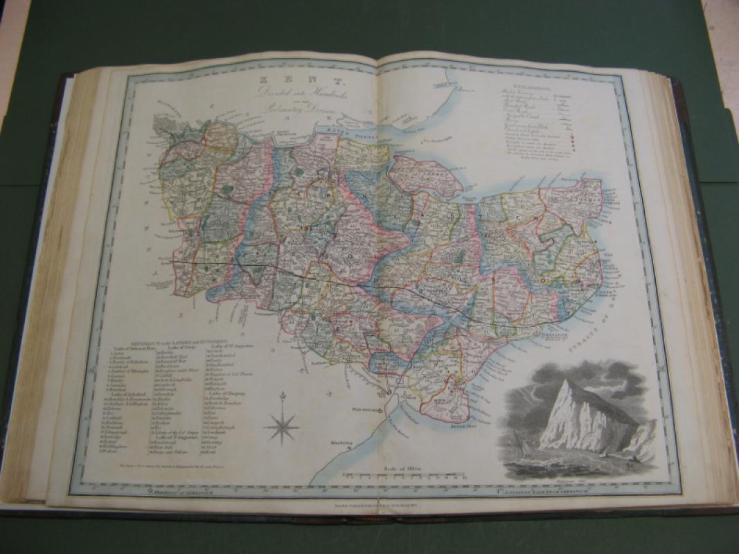
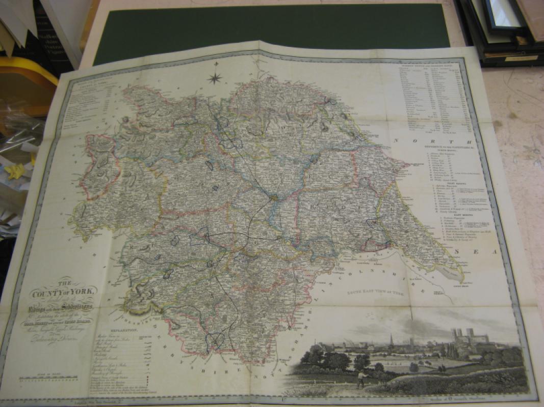
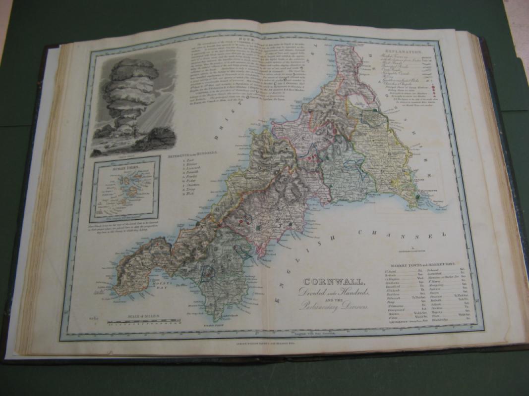
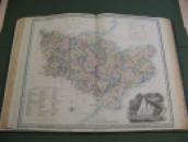
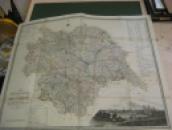
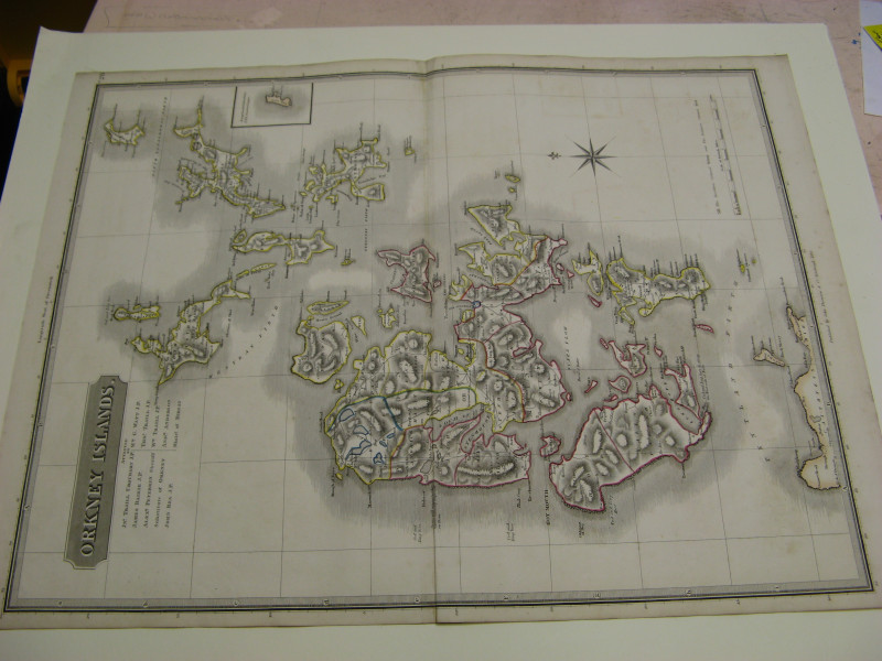
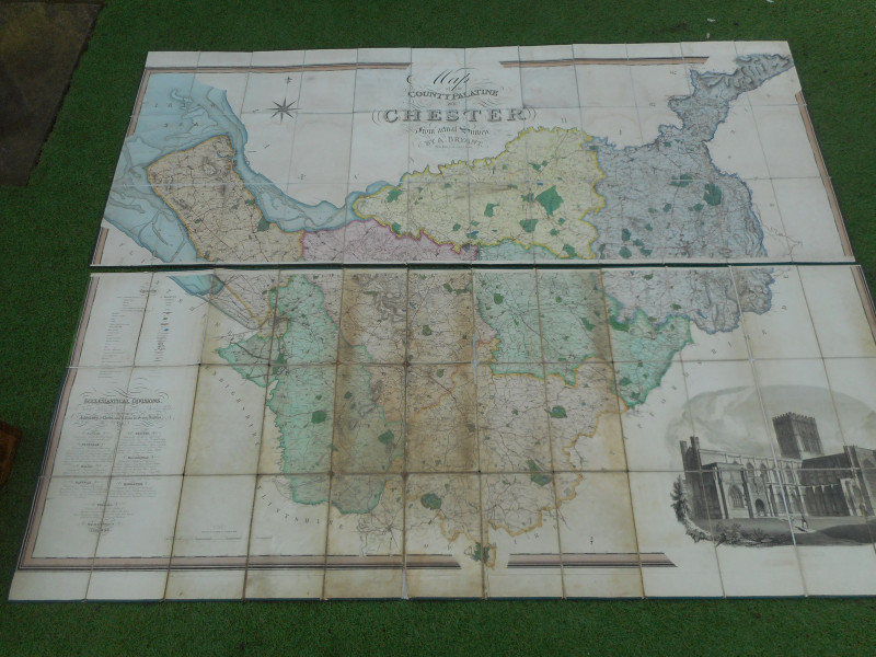
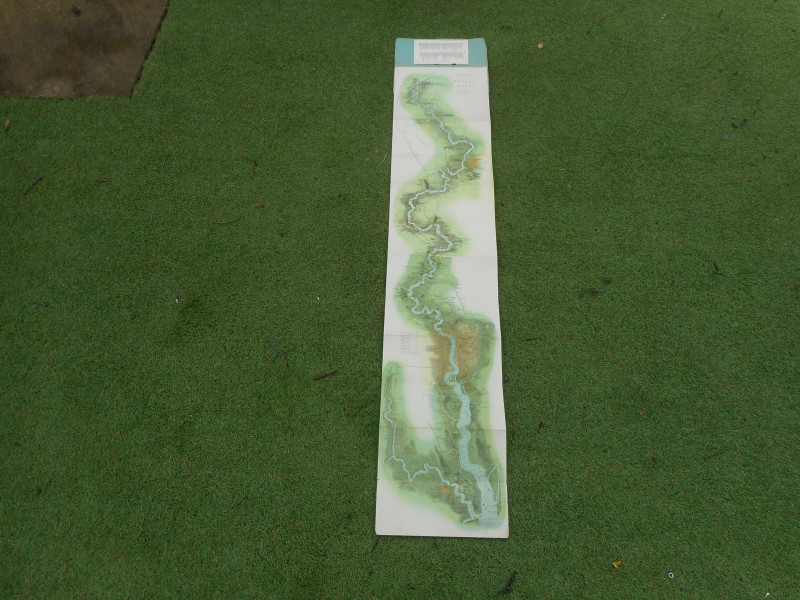
The William Darton English County Atlas c1838 is a rare and valuable collectable item for enthusiasts of antique maps and historical documents. This comprehensive atlas features 42 large maps that provide detailed information on various counties in England, making it a valuable resource for historians and collectors alike. Additionally, the inclusion of railway and canal information adds an extra layer of interest and significance to this important piece of cartographic history.C1838 DARTONS LARGE ENGLISH COUNY ATLAS 42 MAPS COMPLETE RECENT 1/4 LEATHER REBOUND TO HIGH STANDARD INTERNALLY MAPS GOOD/VGC LARGLY CLEAN MINIMAL OFSETTING TO FEW AS USUAL A FEW MAPS WITH MINIMAL WEAR TO MARGINS/FOLDS . ORIGINAL COLOUR THROUGHOUT .YORKSHIRE/WELSH X2 LARGE FOLD OUT MAPS A SCARCE ENGLISH ATLAS IN GOOD/VGC
Author
WILLIAM DARTON
Date
1838
Binding
HARDBACK
Condition
GOOD
Other books
If you liked the book you've just seen, you might be interested in other books from the same dealer below.
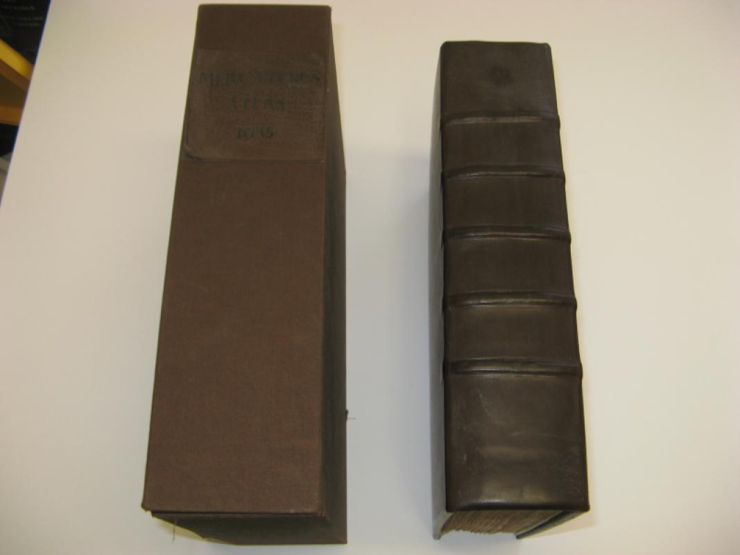
MERCATOR WORLD ATLAS C1637 EDITION 180 MAPS
GERARD MERCATOR
£8995.00
Offered by Claremont Books and Prints
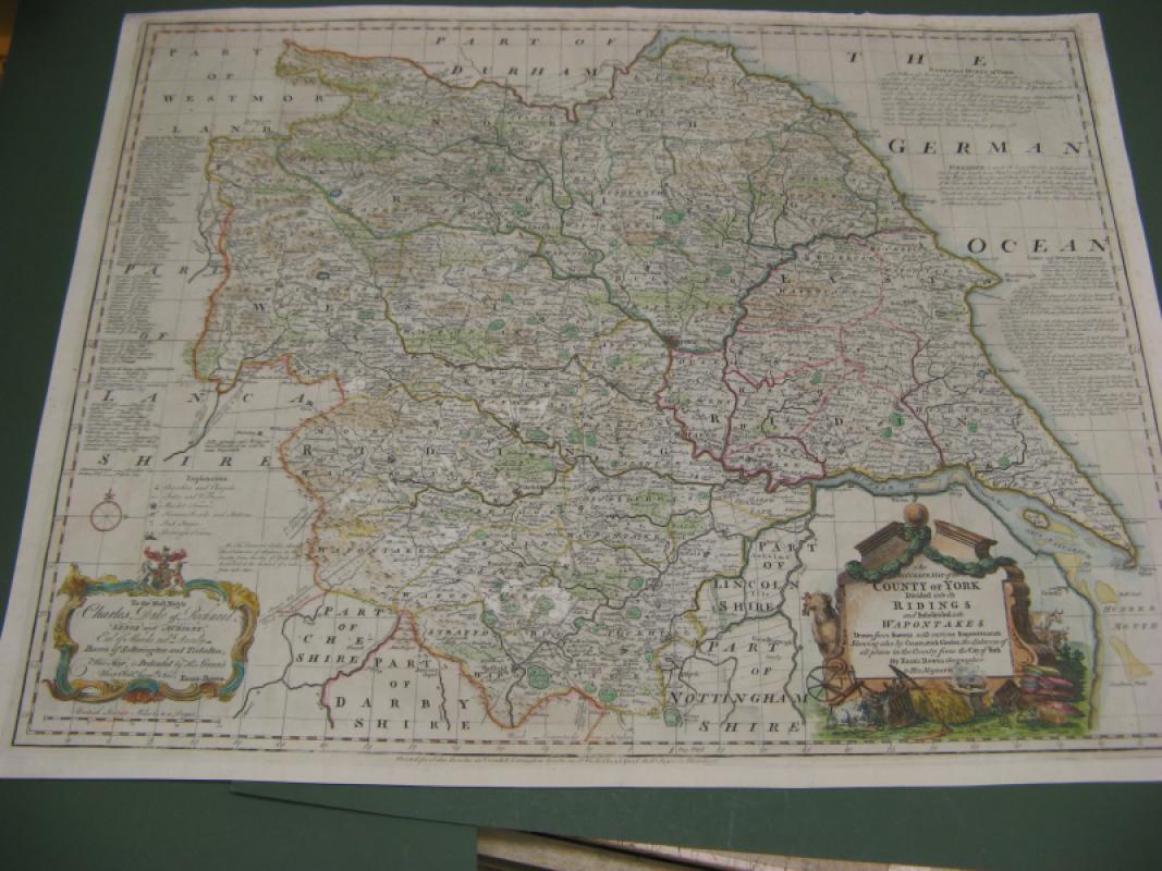
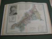
LARGE ENGLISH ATLAS MAP OF YORKSHIRE
E BOWEN
BOWEN BOWLES
£195.00
Offered by Claremont Books and Prints

PANORAMIC MAP OF THE RIVER THAMES AND MEDWAY
TOMBLESON
G BACON
£450.00
Offered by Claremont Books and Prints
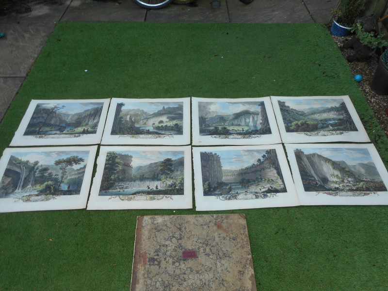
A SERIES OF PANORAMIC VIEWS/PROSPECTS OF DERBYSHIR...
T SMITH
£795.00
Offered by Claremont Books and Prints
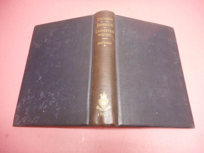
RECORDS OF THE BOROUGH OF LEICESTER 1103 - 1327
BATESON
C J CLAY
£30.00
Offered by Claremont Books and Prints
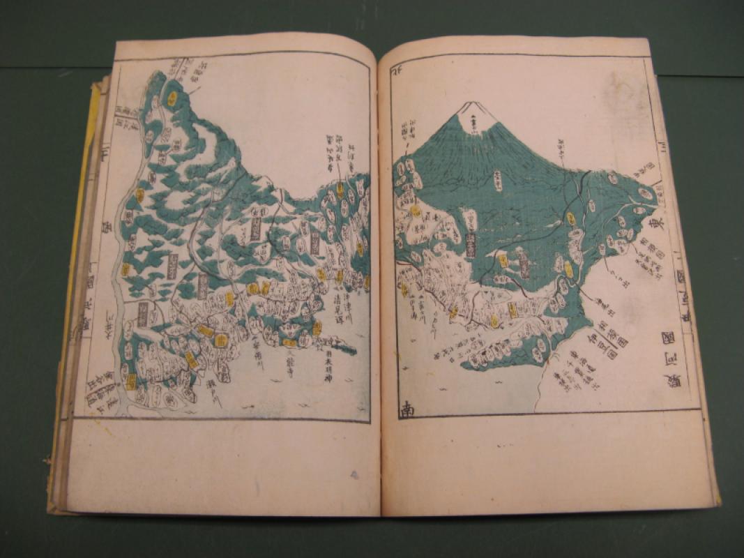
ATLAS OF THE PROVINCES AND COUNTIES OF JAPAN VOLIM...
KOKUGUN ZENZU
£695.00
Offered by Claremont Books and Prints
Friends of the PBFA
For £10 get free entry to our fairs, updates from the PBFA and more.
Please email info@pbfa.org for more information