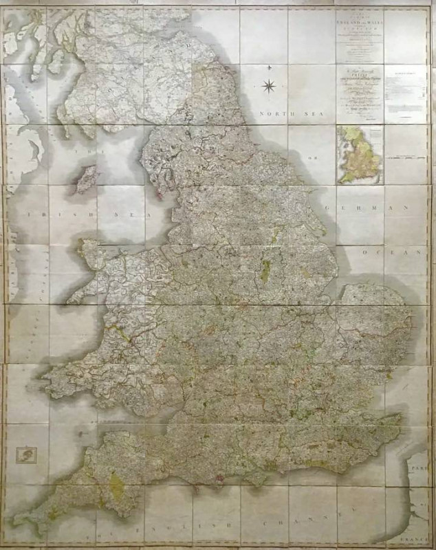
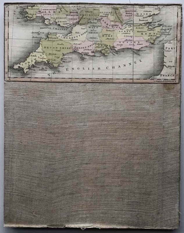
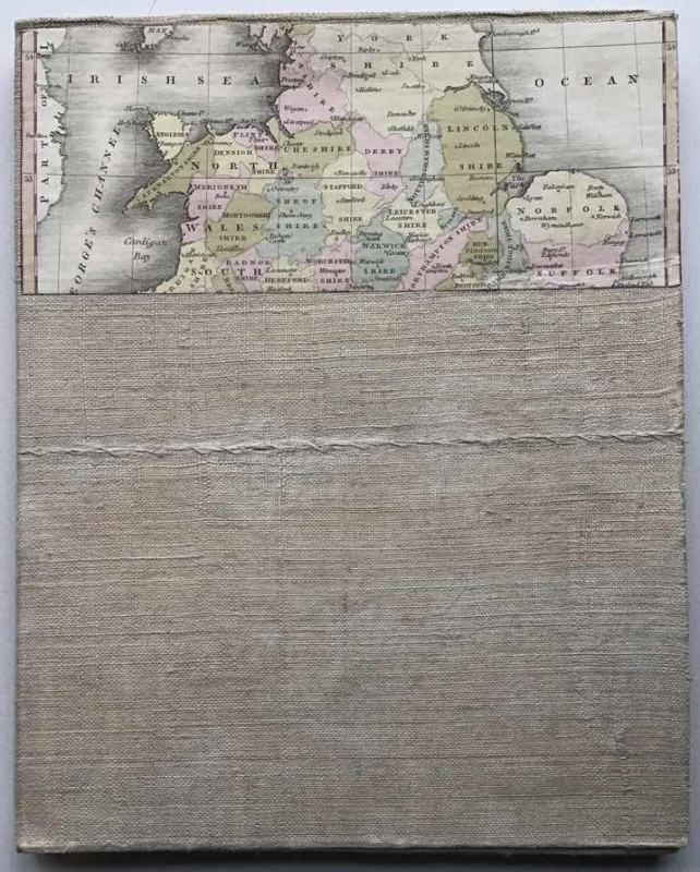
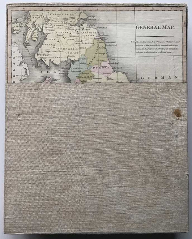
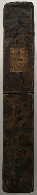
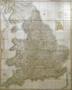
A First Edition Of Cary’s New Map of England 1794
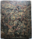
Book Description
Other books
If you liked the book you've just seen, you might be interested in other books from the same dealer below.
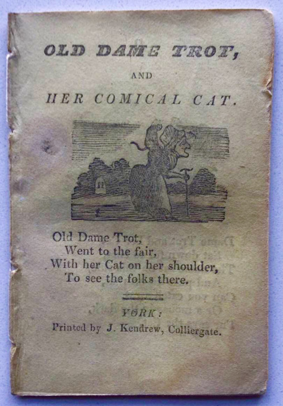
OLD DAME TROT AND HER COMICAL CAT
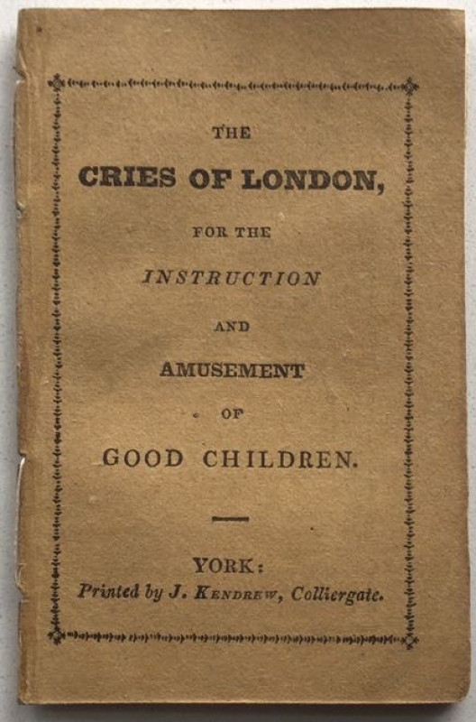
KENDREW OF YORK CHAPBOOK
£55.00
Offered by John Underwood Antiquarian Books
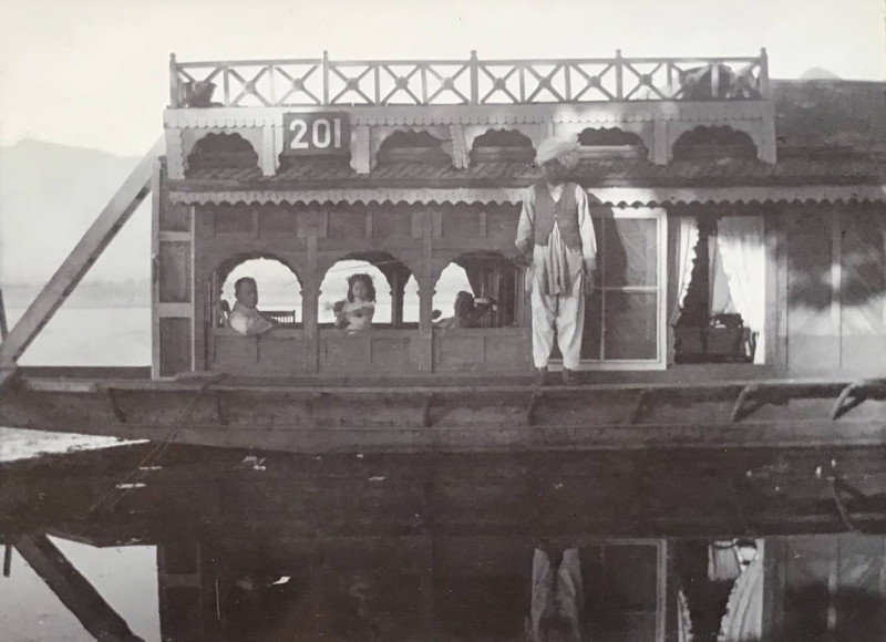
Houseboats on Dal Lake, Kashmir 1912
Hughes family photographs
Unpublished photograph album
£195.00
Offered by John Underwood Antiquarian Books
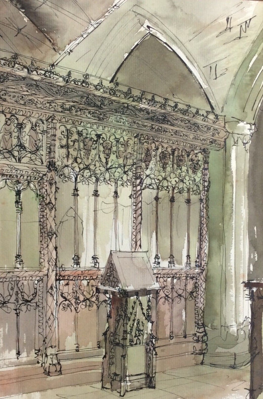
(ANON) “WOODCARVING IN THREE WEST COUNTRY CHURCHES...
ANON
Unpublished manuscript
£400.00
Offered by John Underwood Antiquarian Books
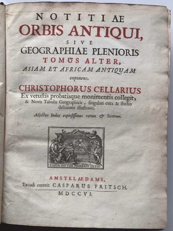
Notitiae Orbis Antiqui sive Geograpgiae Plenioris....
CELLARIUS, Christophorous
£495.00
Offered by John Underwood Antiquarian Books
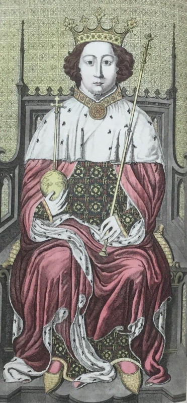
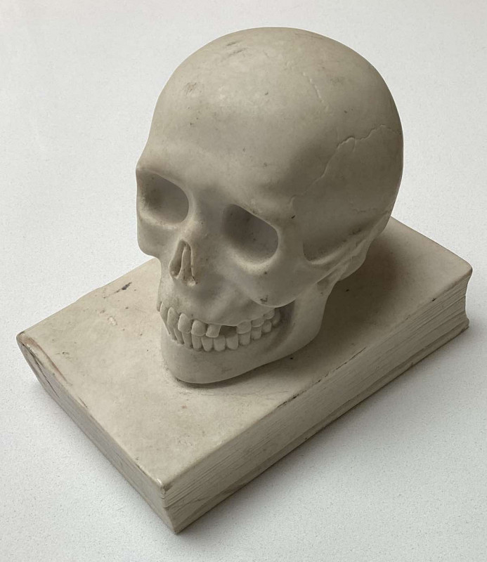
Specimens of the Ancient Sculpture and Painting,...
CARTER, John
£1750.00
Offered by John Underwood Antiquarian Books
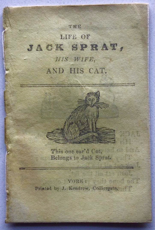
THE LIFE OF JACK SPRAT, HIS WIFE, AND HIS CAT
KENDREW OF YORK CHAPBOOK
£55.00
Offered by John Underwood Antiquarian Books
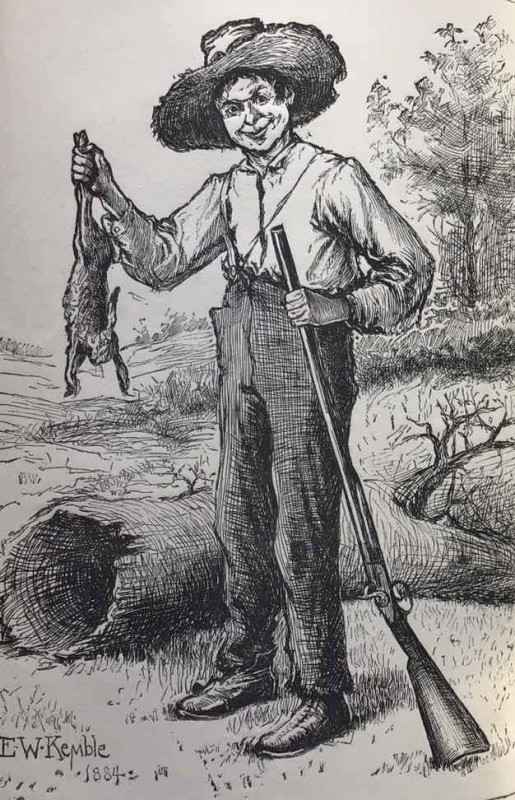
The Adventures of Huckleberry Finn
Mark Twain
Chatto & Windus
£80.00
Offered by John Underwood Antiquarian Books
Friends of the PBFA
Please email info@pbfa.org for more information