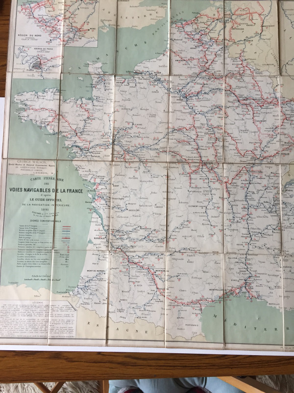
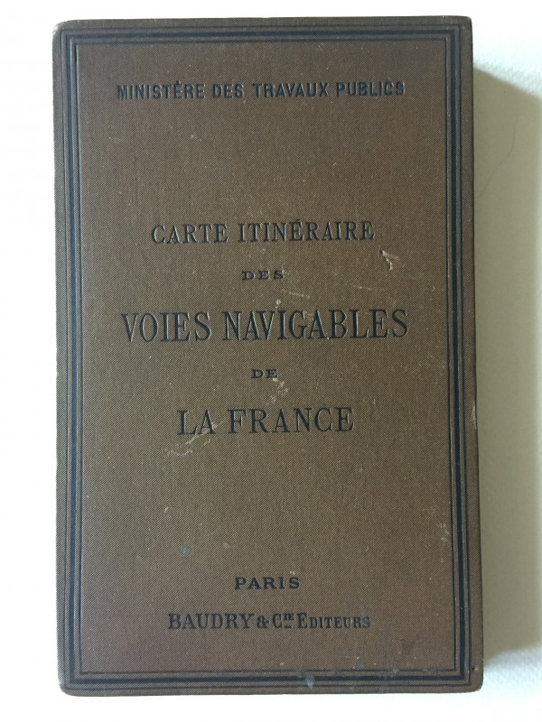
CARTE ITINERAIRE DES VOIES NAVIGABLES DE LA FRANCE (Map of the navigable waterways of France)


Book Description
This map constitutes an official guide to the navigable waterways of France towards the end of the 19th century - their routes, lengths & navigability.
Author
No Author
Date
1889
Binding
Paper laid on linen
Publisher
Baudry & Co (Paris)
Illustrator
Not known. Detailed cartographic work in red, black & blue with attractive legend & lettering of the period.
Condition
G / VG
Pages
1 Large linen-laid sheet (70 x 63cm)
Other books
If you liked the book you've just seen, you might be interested in other books from the same dealer below.


GARDEN & COSMOS - THE ROYAL PAINTINGS OF JODHPUR
Debra diamond, Catherine Glynn, & Karni Singh Jasol
Thames & Hudson
£75.00
Offered by Geoff Cox Books
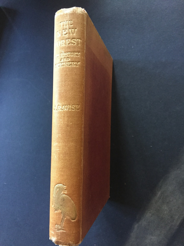
THE NEW FOREST - ITS HISTORY AND ITS SCENERY
John R Wise
Gibbings & Co (London)
£20.00
Offered by Geoff Cox Books
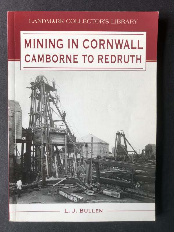
MINING IN CORNWALL - CAMBORNE TO REDRUTH
L J Bullen
Landmark Publishing
£18.00
Offered by Geoff Cox Books
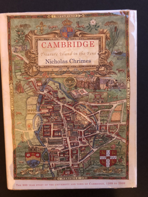
CAMBRIDGE - TREASURE ISLAND IN THE FENS (Signed Fi...
Nicholas Chrimes
Hobsaerie Publications
£16.00
Offered by Geoff Cox Books

THE BLACK BOOK
Robert Mapplethorpe
Schirmer/Mosel (text in English & German)
£28.00
Offered by Geoff Cox Books
Yorkshire County Cricket Club Season 1938 ; Season...
J H Nash (editor)
Yorkshire County Cricket Club
£20.00
Offered by Geoff Cox Books
Friends of the PBFA
For £10 get free entry to our fairs, updates from the PBFA and more.
Please email info@pbfa.org for more information