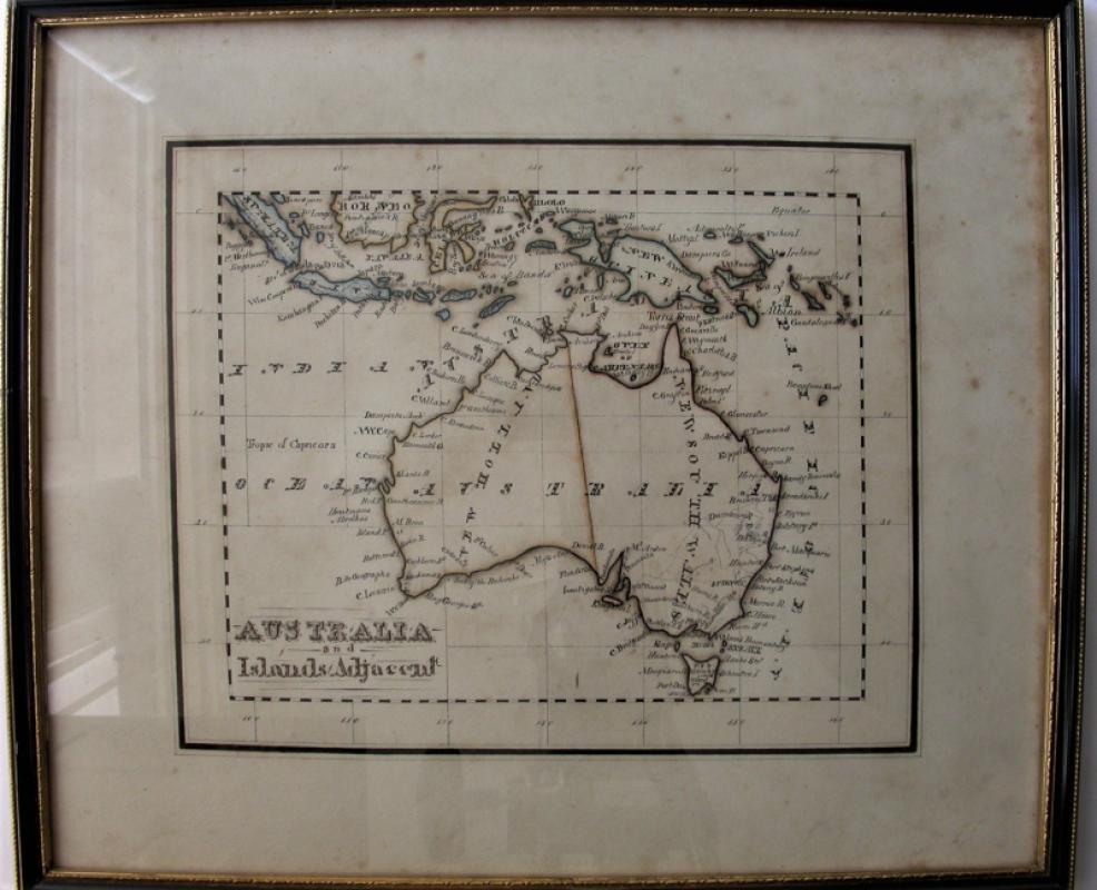
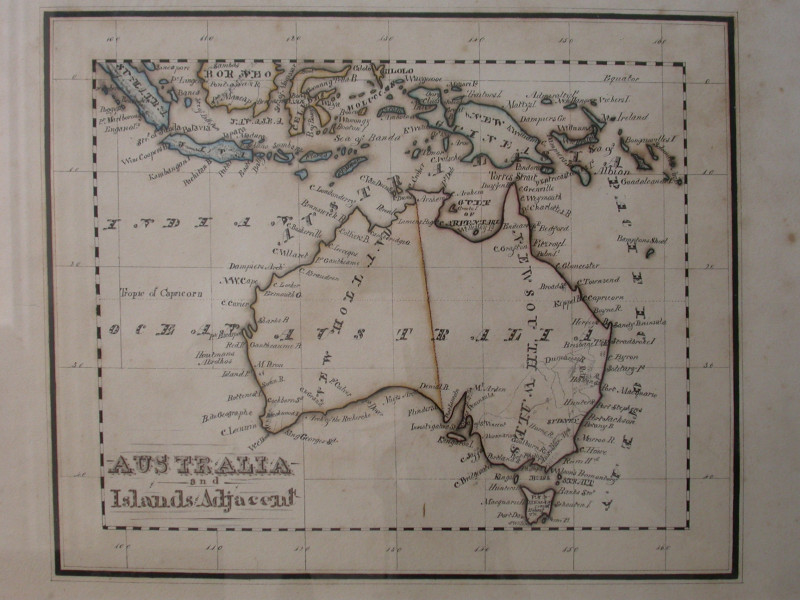
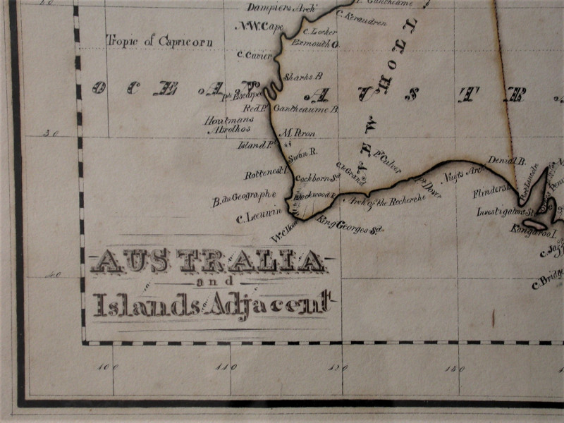
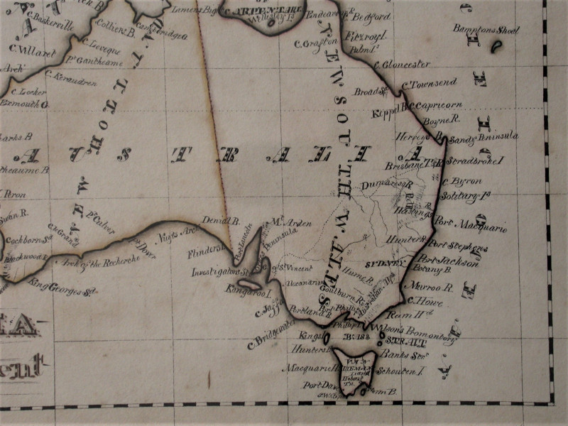
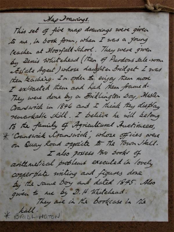
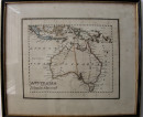
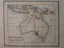
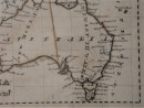
Australia and Islands Adjacent. Hand drawn map in pen and ink with colour outlines.
Book Description
Other books
If you liked the book you've just seen, you might be interested in other books from the same dealer below.
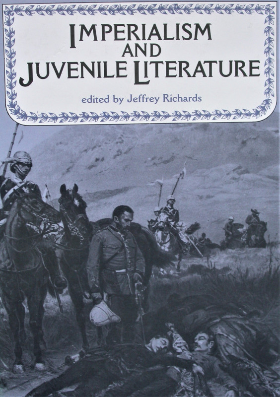
Imperialism and juvenile literature.
Richards, Jeffrey (Ed).
Manchester University Press
£30.00
Offered by Peter Moore
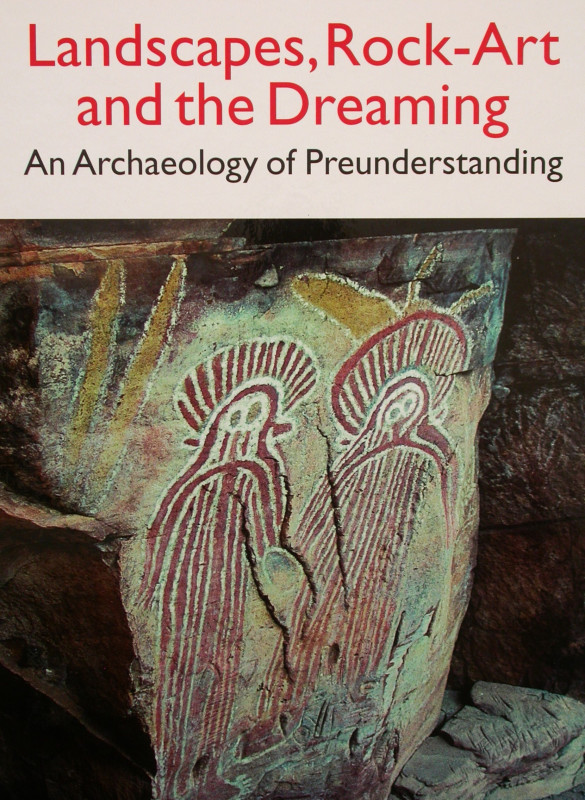
Landscapes, Rock-Art and the Dreaming. An Archaeol...
David, Bruno.
Leicester University Press, London and New York.
£45.00
Offered by Peter Moore
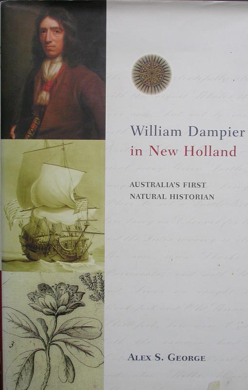
William Dampier in New Holland. Australia's First...
George Alex S.
Bloomings Books, Victoria, Australia.
£20.00
Offered by Peter Moore
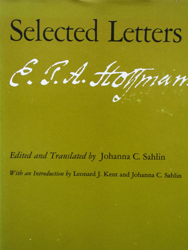
Selected Letters of E.T. Hoffmann. (Introduction b...
Hoffmann, E.T.A. (Ed. & translated by Johann C. Sahlin)
University of Chicago Press, Chicago and London.
£25.00
Offered by Peter Moore
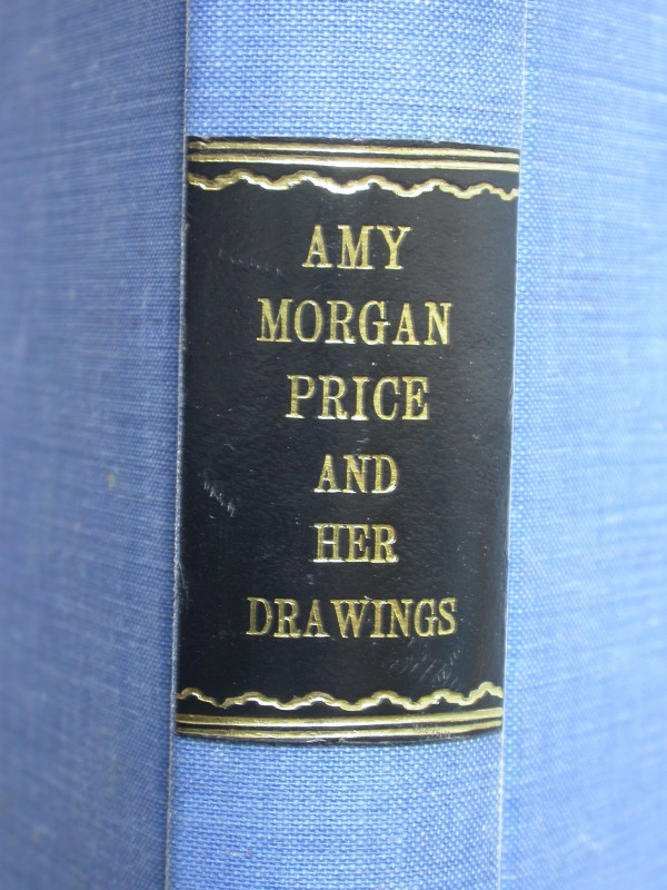
Amy Morgan Price and Her Drawings.
Price, Maud
The Author's Advisory Service, London.
£50.00
Offered by Peter Moore
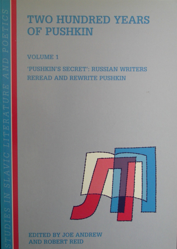
Two Hundred Years of Pushkin. 3 volumes.
Andrew, Joe & Reid, Robert (Eds).
Rodopi, Amsterdam
£15.00
Offered by Peter Moore
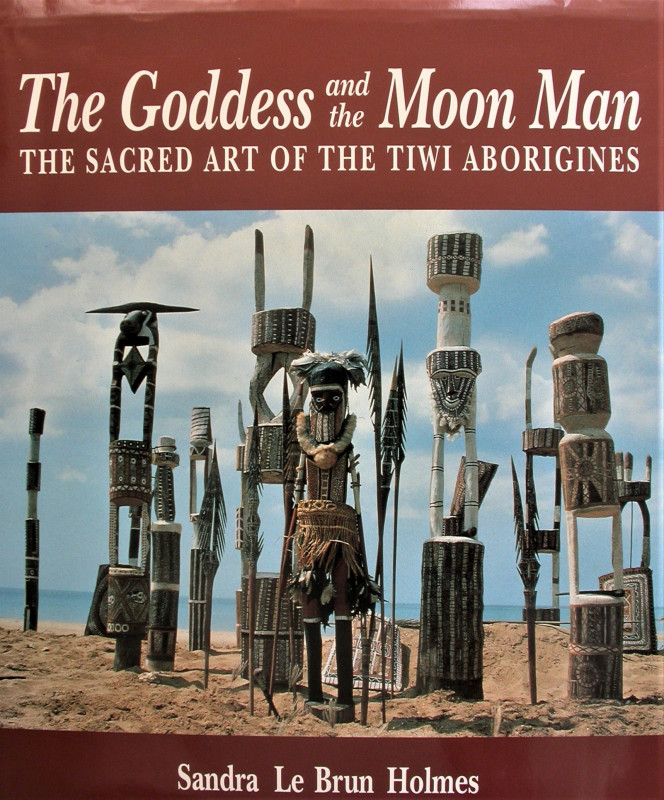
The Goddess and the Moon Man. The Sacred Art of th...
Holmes, Sandra Le Brun.
Craftsman House, (Sydney).
£25.00
Offered by Peter Moore
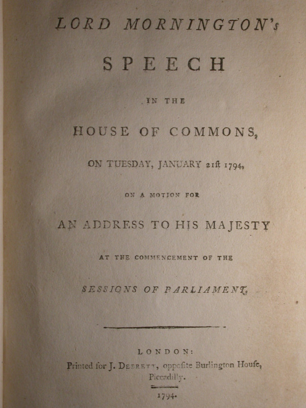
Substance of Lord Mornington's Speech in the House...
[Wellesley, Richard]
J. Debrett, opposite Burlington House, Piccadilly, London.
£20.00
Offered by Peter Moore
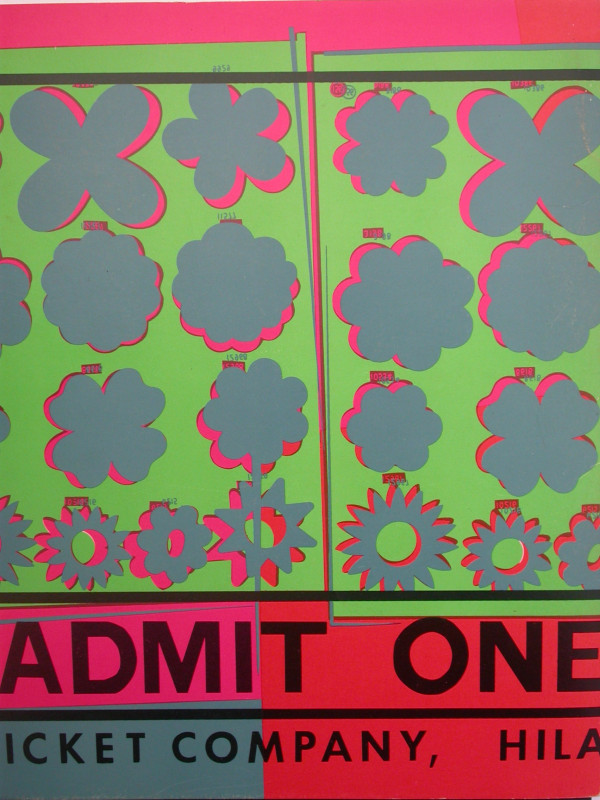
Images of an Era: the American Poster 1945-75.
Garrigan, John; Cogswell, Margaret and others.
National Collection of Fine Arts, Smithsonian Institution, Washington DC.
£25.00
Offered by Peter Moore
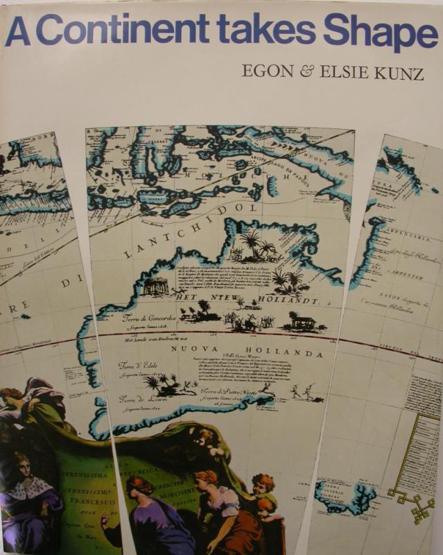
A Continent Takes Shape.
Kunz, Egon & Elsie.
Collins, Sydney - London.
£25.00
Offered by Peter Moore
Friends of the PBFA
Please email info@pbfa.org for more information