A new and easy introduction to universal geography; in a series of letters to a youth at school
Book Description
Other books
If you liked the book you've just seen, you might be interested in other books from the same dealer below.

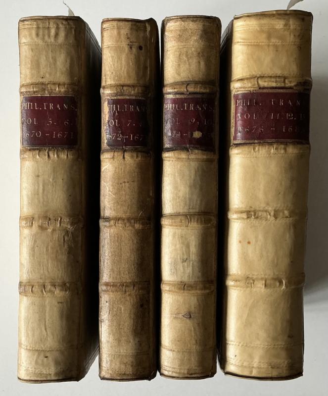
COMPLETE SET OF NEWTON ON LIGHT in PHIL TRANS
Newton, Isaac. New Theory about Light and Colors. 1st edition.
John Martin: Printer to the Royal Society
£50000.00
Offered by Celsus Books
La Verité défendue des sofismes de la France et Re...
[FEDERICI Domenico]
N/A
£150.00
Offered by Celsus Books
A booke of notes and common places, with their exp...
MARBECK, [MERBECK], [MERBECKE], John (c. 1505-1585?)
Imprinted at London: By Thomas East, 1581.
£1950.00
Offered by Celsus Books
The economy of monastic life, (as it existed in En...
FOSBROKE, Thomas Dudley
[Gloucester] Glocester : printed by R. Raikes. And sold by R. Faulder, Bond-Street [London]; Messrs. Fletcher and Hanwell, Oxford: Hough, Glocester; &c.
£125.00
Offered by Celsus Books

AN INTERESTING NINETEENTH CENTURY COOKERY MANUSCRI...
Mrs Farrer
None
£245.00
Offered by Celsus Books
The Roving Englishman in Turkey. Sketches from Lif...
Eustace Clare Grenville Murray
G. Routledge
£200.00
Offered by Celsus Books
A companion for the festivals and fasts of the Chu...
NELSON, Robert.
London: printed for J. Walthoe, R. Wilkin, J. and J. Bonwicke, S. Birt, T. Ward, and T. Osborn, MDCCXXVIII.
£125.00
Offered by Celsus Books
Thoughts on the Land of the Morning: a record of t...
H. R. Whitaker Churton
T. Hatchard
£150.00
Offered by Celsus Books
Balm from Gilead. A collection of the living divin...
SMITH, William.
London: printed in the year, MDCLXXV. [1675]
£150.00
Offered by Celsus Books
Friends of the PBFA
Please email info@pbfa.org for more information