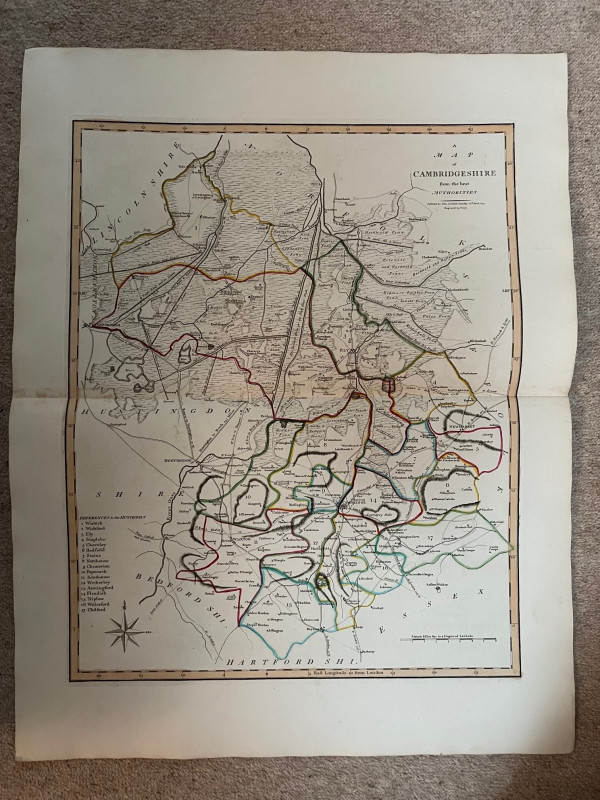
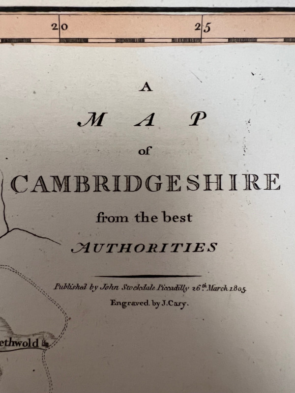
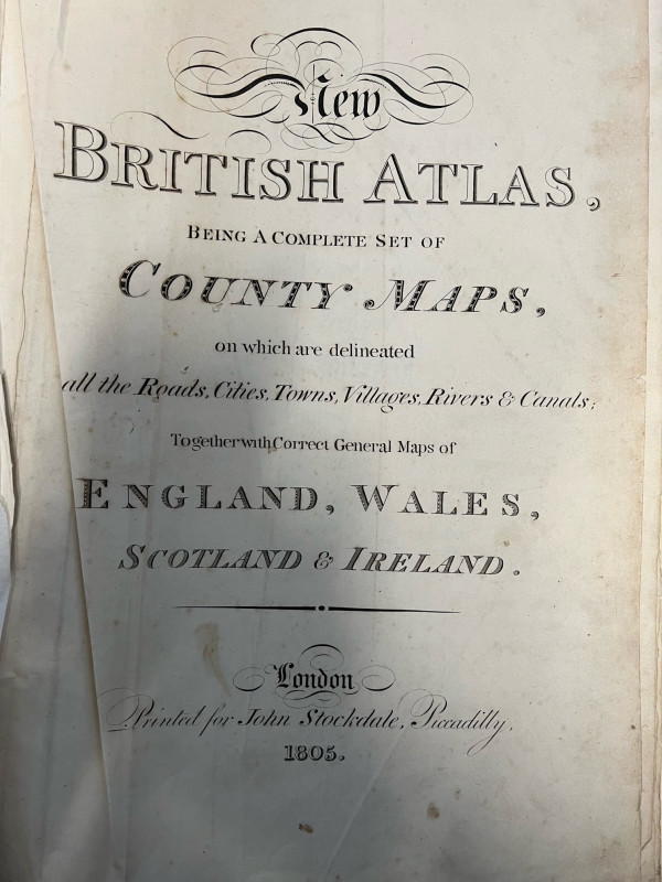
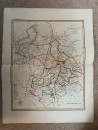
A Map of Cambridgeshire from the Best Authorities


Book Description
Dealer Notes
Other books
If you liked the book you've just seen, you might be interested in other books from the same dealer below.
The Species of Epilobium Occurring North of Mexico
TREALEASE, William
Missouri Botanical Garden
£12.00
Offered by Yatton Books & Prints
Supermarine: An Illustrated History
SMITH, Christopher
Amberley
£12.00
Offered by Yatton Books & Prints
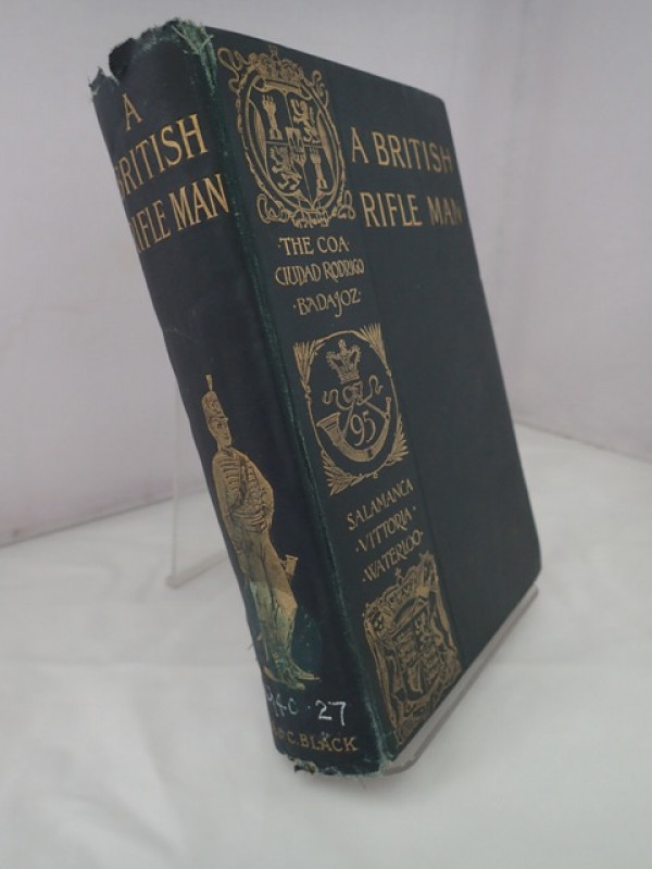
A British Rifle Man: The Journals and Corresponden...
VERNER, Willoughby (Lieut-Colonel)
A & C Black
£55.00
Offered by Yatton Books & Prints

The 8th Air Force Album: The Story of the Mighty E...
WOOLNOUGH, John H (Lt Col)
8th A F News, Hollywoood, FL
£22.00
Offered by Yatton Books & Prints

Nigel Mansel Photograph with Genuine Original Sign...
Ferrari
Ferrari
£20.00
Offered by Yatton Books & Prints

Fonteyn: Impressions of a Ballerina
CHAPPELL, William
Rockliff
£125.00
Offered by Yatton Books & Prints

Shadows in the Fog: The True Story of Major Suttil...
SUTTILL, Francis J
The History Press
£42.00
Offered by Yatton Books & Prints

Captain John Kemp MBE - A Master Mariner of the 20...
KEMP, Eric
United Writers, Cornwall
£10.00
Offered by Yatton Books & Prints
Friends of the PBFA
Please email info@pbfa.org for more information