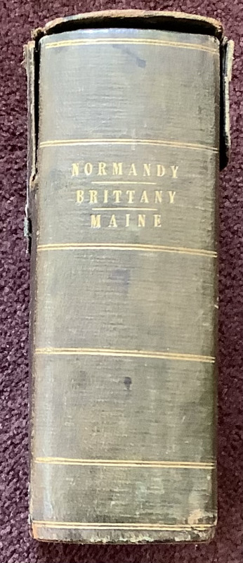
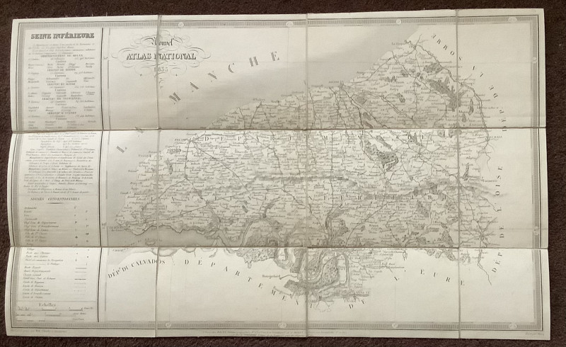
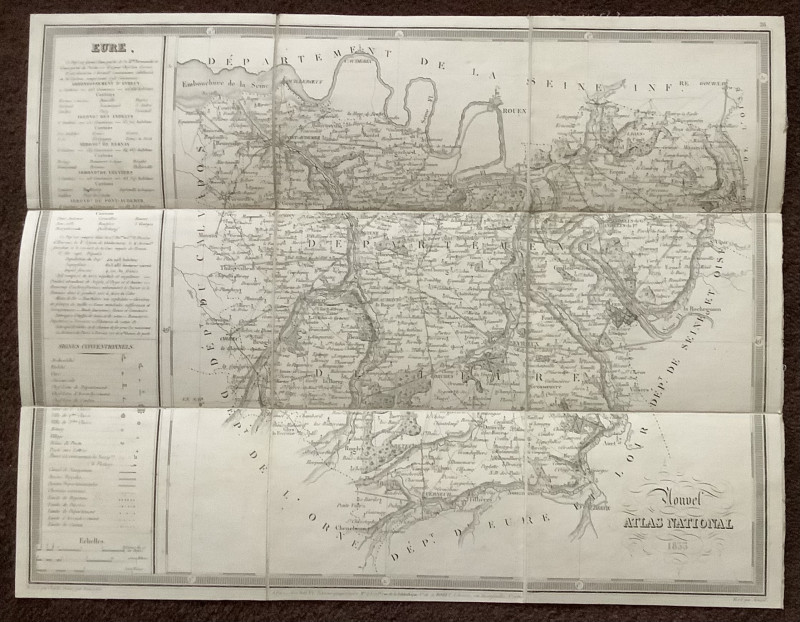
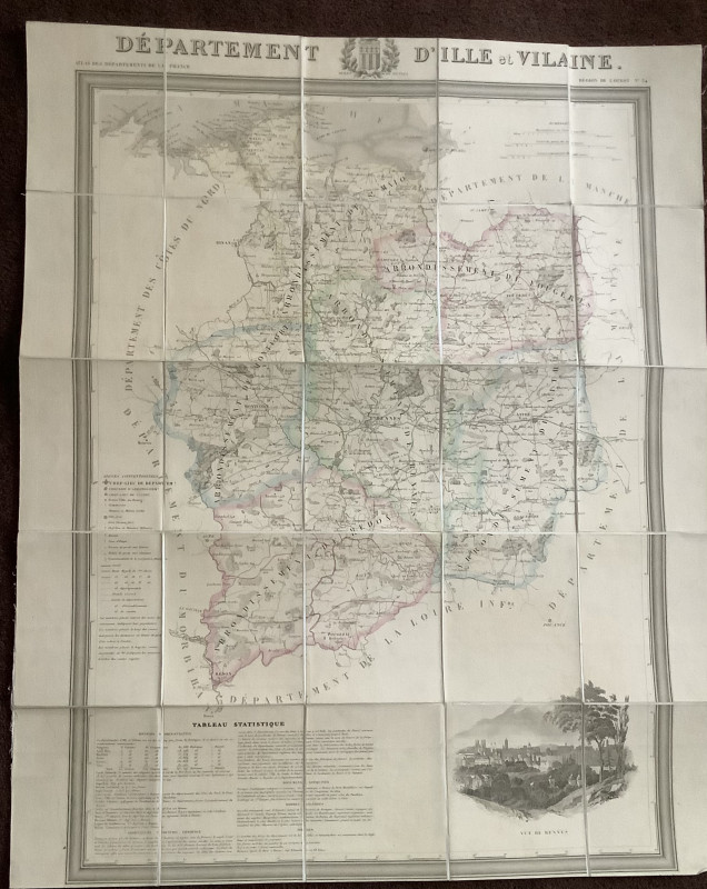
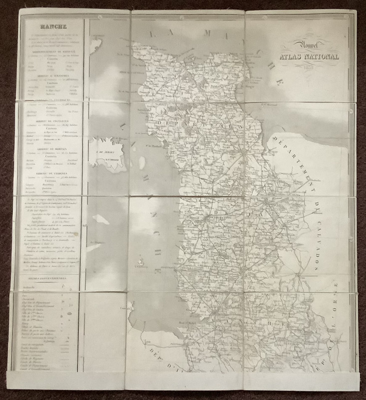
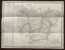
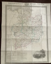
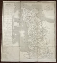
A Collection of early 19th Century Maps of Northern France.


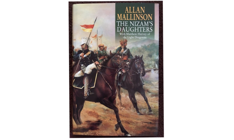
Book Description
Dealer Notes
Other books
If you liked the book you've just seen, you might be interested in other books from the same dealer below.
Club Route in Europe
Ronald Gill and John Groves
Hannover
£18.00
Offered by Colin Baker Books for the Collector
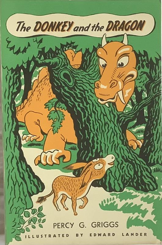
The Donkey and the Dragon.
Percy G. Griggs
John Langdon Ltd
£30.00
Offered by Colin Baker Books for the Collector
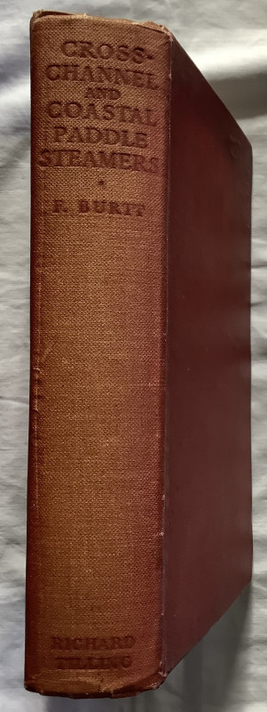
Cross-Channel and Coastal Paddle Steamers.
Frank Burtt
Richard Tilling
£25.00
Offered by Colin Baker Books for the Collector
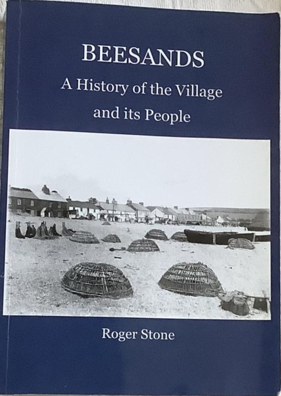
Beesands. A History of the Village and its People
Roger Stone
The Author
£10.00
Offered by Colin Baker Books for the Collector
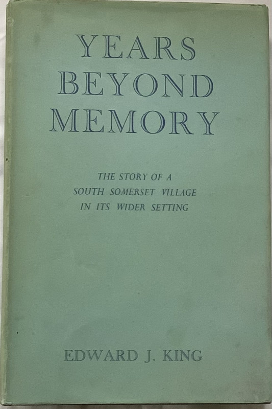
Years Beyond Memory . The Story of a South Somerse...
Edward J King
B H Blackwell . Oxford
£25.00
Offered by Colin Baker Books for the Collector
Angel Pavement. First Edition.
J.B.Priestley
William Heinemann.
£20.00
Offered by Colin Baker Books for the Collector
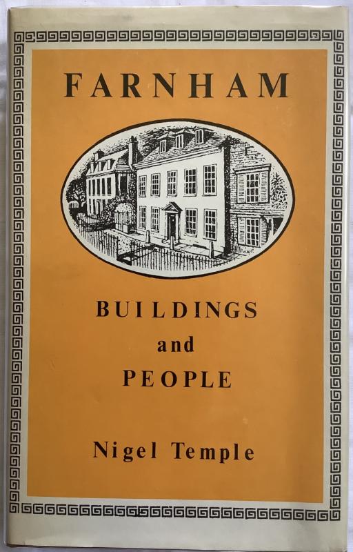
Farnham Buildings and People.
Nigel Temple
Phillimore
£12.00
Offered by Colin Baker Books for the Collector
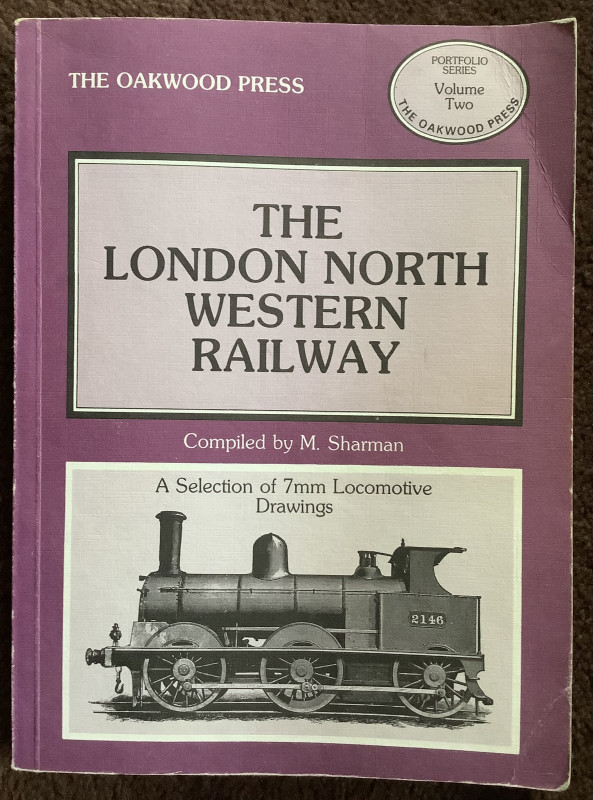
The London North Western Railway. Volume 2
M Sharman
Oakwood Press
£7.00
Offered by Colin Baker Books for the Collector
Friends of the PBFA
Please email info@pbfa.org for more information