Books For Sale
List Results
Showing 25 - 48 out of 483
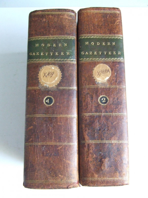
The Modern Gazetteer
Anon
Edinburgh, printed for William Anderson, Stirling
£350.00
Offered by McLaren Books Ltd
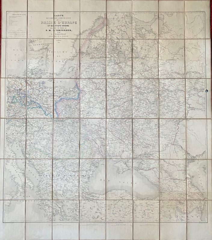
Map of European Russia and neighbouring states 185...
Sagansan
Avril Frėres
£185.00
Offered by Arthur Hook
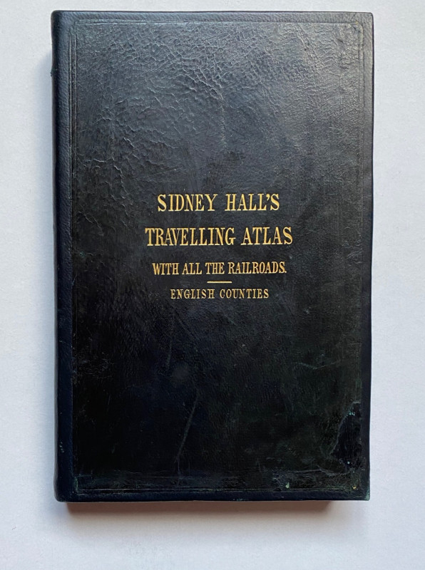
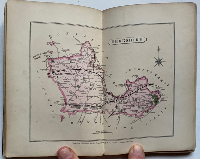
Sydney Hall's Travelling Atlas of the English Coun...
Hall
Chapman and Hall
£375.00
Offered by Arthur Hook
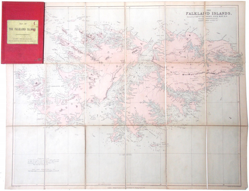
The Falkland Islands, surveyed by Captns. Robert F...
[Falkland Islands.]
London: Edward Stanford
£225.00
Offered by Meridian Rare Books
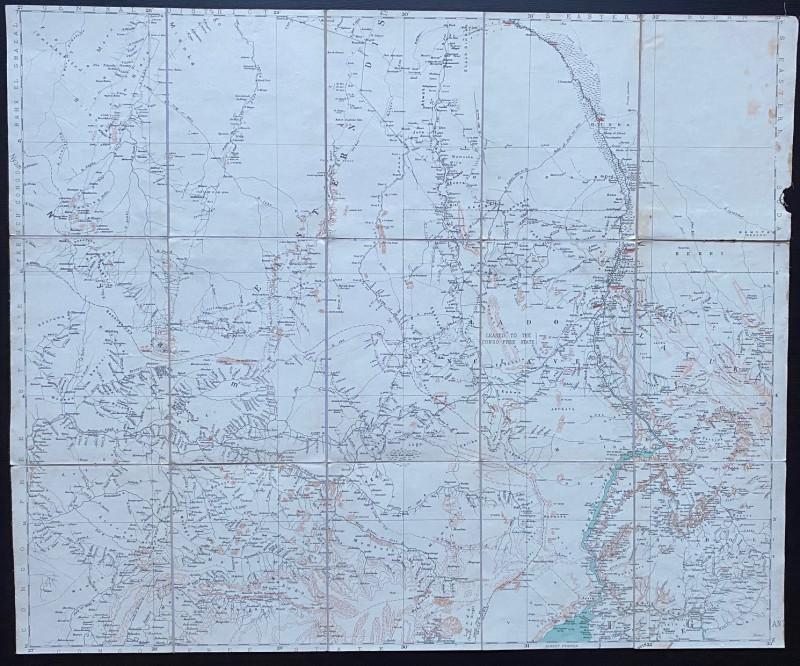
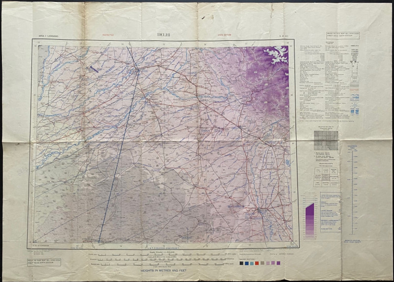
Map of Bahr el Ghazal (Sudan)
Topographical Section of the British General Staff
Topographical Section of the British General Staff
£100.00
Offered by Arthur Hook
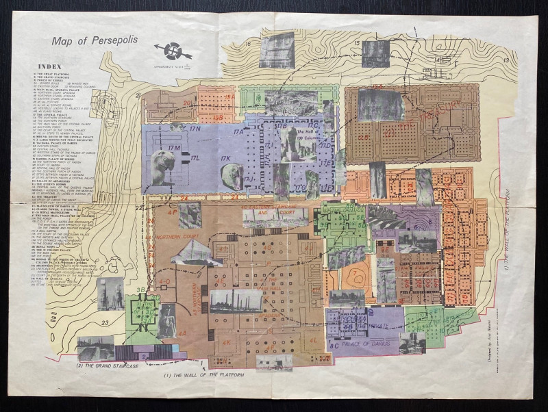
Map of Persepolis & Iran 1955
Hatami
Iranian Government Department of Communications
£45.00
Offered by Arthur Hook
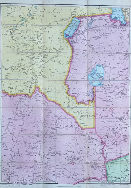
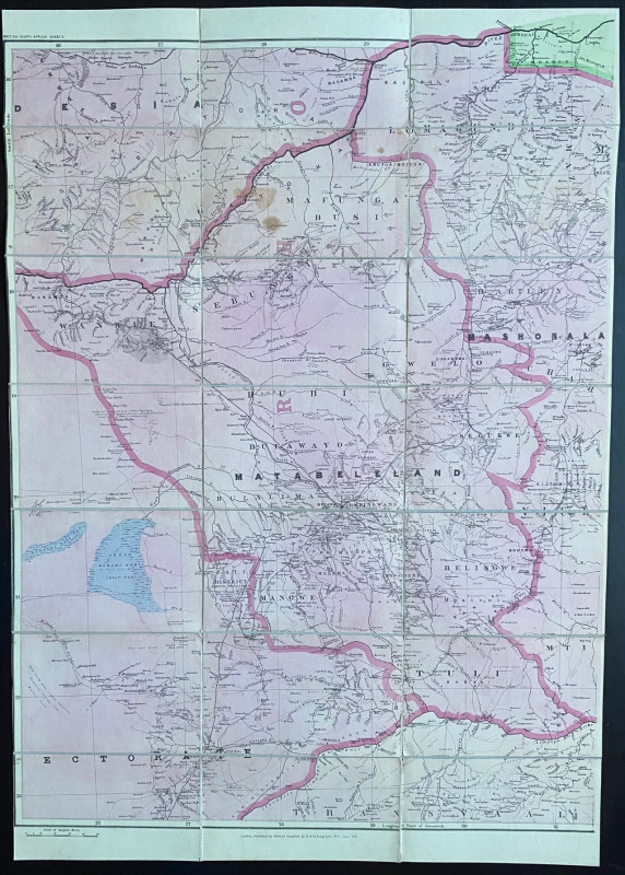
Map of Rhodesia 1903. British South Africa & Rhode...
Stanford
Stanford
£100.00
Offered by Arthur Hook
Map of Rhodesia 1910 (British South Africa & Rhode...
Stanford
Stanford
£110.00
Offered by Arthur Hook
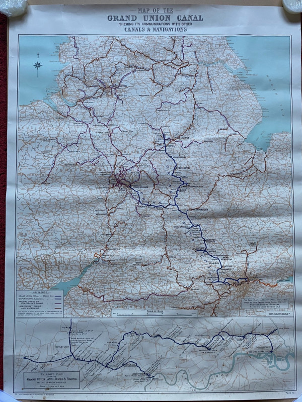
Map of the Grand Union Canal shewing its communica...
Grand Union Canal
Cook, Hammond and Kell
£70.00
Offered by Arthur Hook
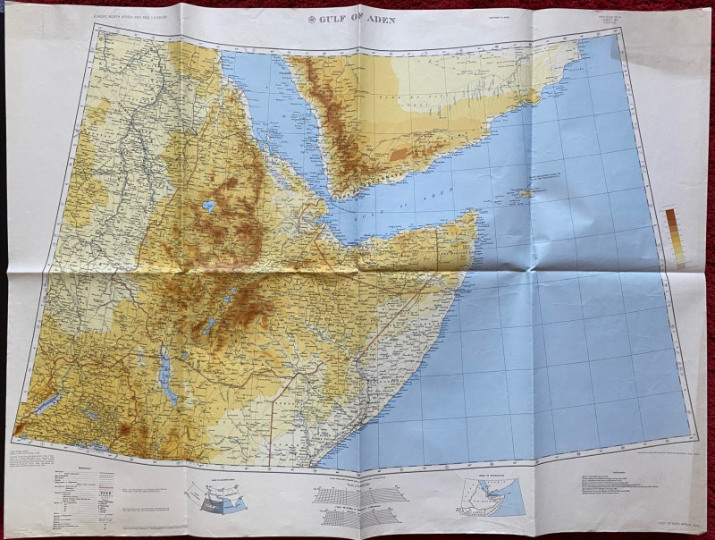
Map of the Gulf of Aden 1956
US Army Map Service, Corps of Engineers
US Army Map Service, Corps of Engineers
£50.00
Offered by Arthur Hook
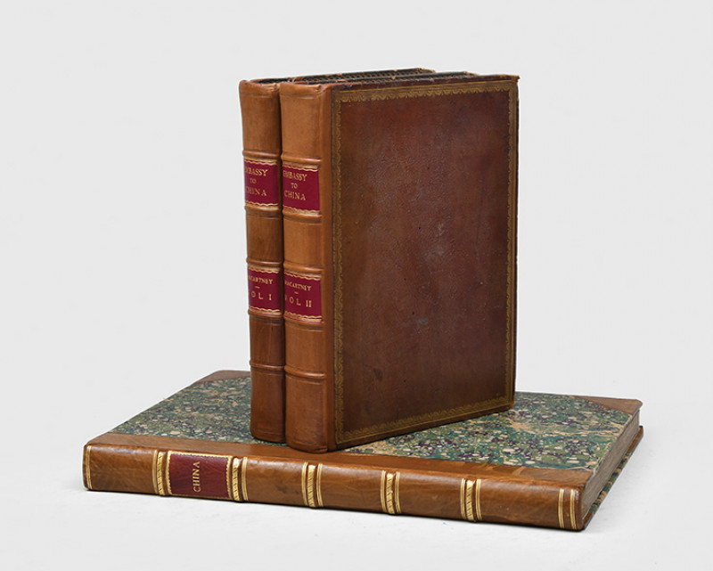
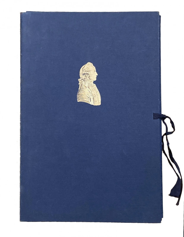
An Authentic Account of an Embassy from the King o...
STAUNTON. Sir GEORGE.
Printed by W. Bulmer & Co. for G. Nicol. London.
£8750.00
Offered by Paul Foster Books
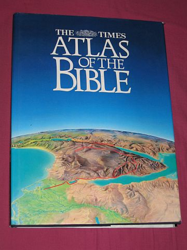
The Times Atlas of the Bible
Pritchard, James B. (editor)
Times Books Ltd., London
£15.00
Offered by Bookbarrow
The Journals of Captain James Cook on his Voyages...
COOK, Captain James – Peter Raleigh Ashlin SKELTON (editor)
Cambridge: printed by Robert MacLehose and Company Limited at the University Press, Glasgow and ‘Published for the Hakluyt Society at the University Press’
£95.00
Offered by Type & Forme
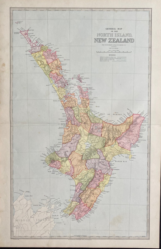
General Map of the North Island of New Zealand
Picturesque Atlas Publishing Company
Picturesque Atlas Publishing Company
£55.00
Offered by Arthur Hook
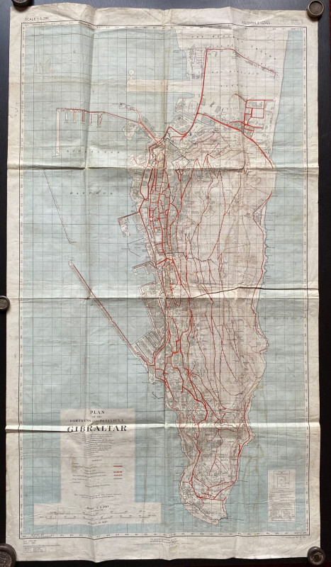
Plan of the Fortress and Peninsula of Gibraltar
British War Office & Air Ministry
British War Office & Air Ministry
£135.00
Offered by Arthur Hook
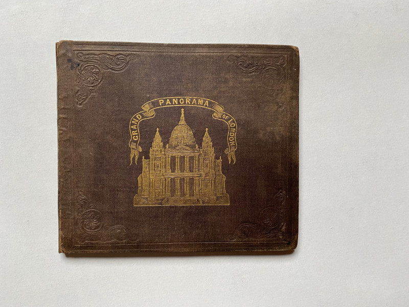
Grand Panorama of London from the Thames 1849
John and Charles Evans
John and Charles Evans
£500.00
Offered by Arthur Hook
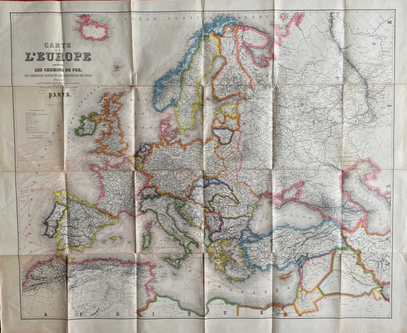
Map of of the Railways & Air Routes of Europe 1930
Blondeau
Girard and Barrėre
£55.00
Offered by Arthur Hook

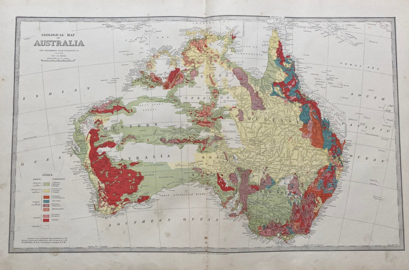
Geological Map of Australia 1885
Wilkinson
Picturesque Atlas Publishing Company
£100.00
Offered by Arthur Hook
Friends of the PBFA
Please email info@pbfa.org for more information