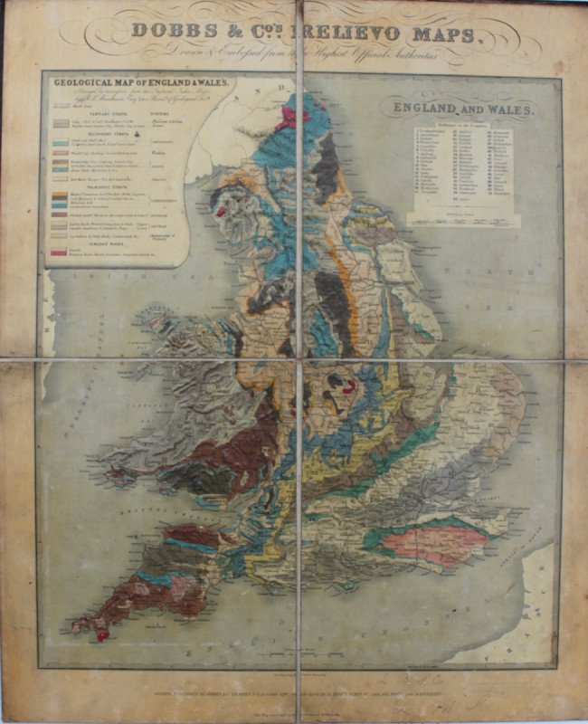
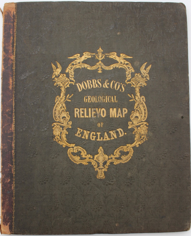
RELIEF MAP- GEOLOGICAL MAP OF ENGLAND AND WALES


Book Description
DOBBS & CO. Geological Map of England and Wales, [based upon Roderick Impey Murchison's map of 1843].
Dobbs & Co., [1843]
Embossed hand-coloured geological map, 550 x 450 mm. dissected, mounted on linen, folded into original sheep-backed blind stamped cloth, gilt. Inevitable general light surface wear but a rare survival.
The British Library and the Geological Society examples are the only institutional copies traced.
Author
DOBBS
Date
1843
Other books
If you liked the book you've just seen, you might be interested in other books from the same dealer below.

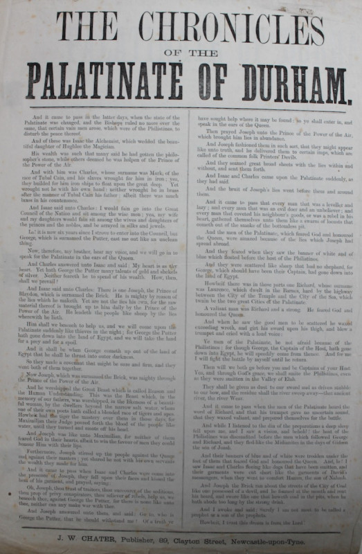
The Chronicles of the Palatinate of Durham.
COUNTY DURHAM
£75.00
Offered by Michael S Kemp Bookseller
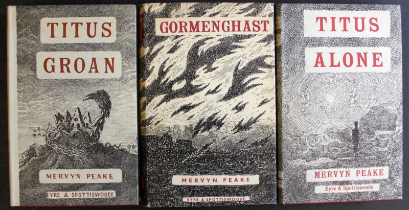
Titus Groan; Gormenghast; Titus Alone.
MERVYN PEAKE
Eyre and Spottiswoode,
£2250.00
Offered by Michael S Kemp Bookseller
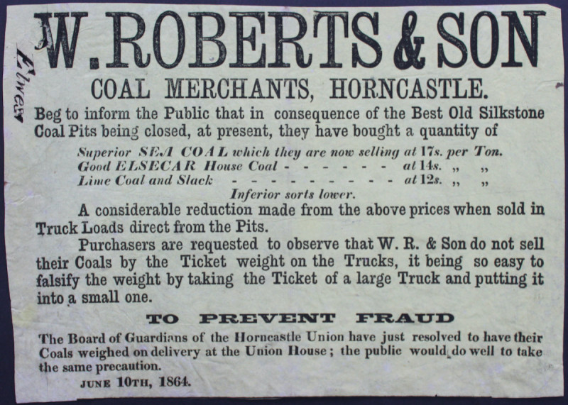
COAL MERCHANTS, HORNCASTLE, LINCOLNSHIRE
W. ROBERTS & SON
£75.00
Offered by Michael S Kemp Bookseller
Friends of the PBFA
For £10 get free entry to our fairs, updates from the PBFA and more.
Please email info@pbfa.org for more information