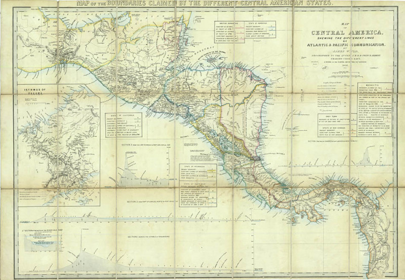
Map of Central America
Book Description
Dealer Notes
This fourth state has been revised to show the international arbitration by representatives of the British and American governments to resolve the boundary dispute between Nicaragua and Costa Rica in 1852, and the boundary of 'Grey Town or San Juan de Nicaragua', laid down in 1852.
Other books
If you liked the book you've just seen, you might be interested in other books from the same dealer below.
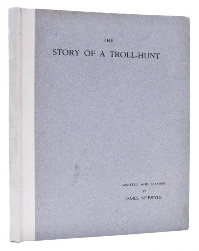
The Story of a Troll-Hunt.
McBRYDE, James.
Printed at the University Press,
£900.00
Offered by Shapero Rare Books Ltd
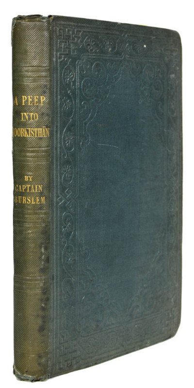
A Peep into Toorkisthan.
BURSLEM, Captain Rollo.
Pelham Richardson,
£3750.00
Offered by Shapero Rare Books Ltd
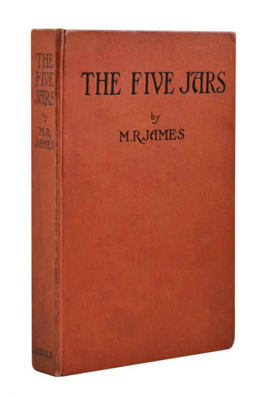
The Five Jars. Being more or less of a fairy tale...
JAMES, M.R.
London, Edward Arnold & Co.,
£380.00
Offered by Shapero Rare Books Ltd
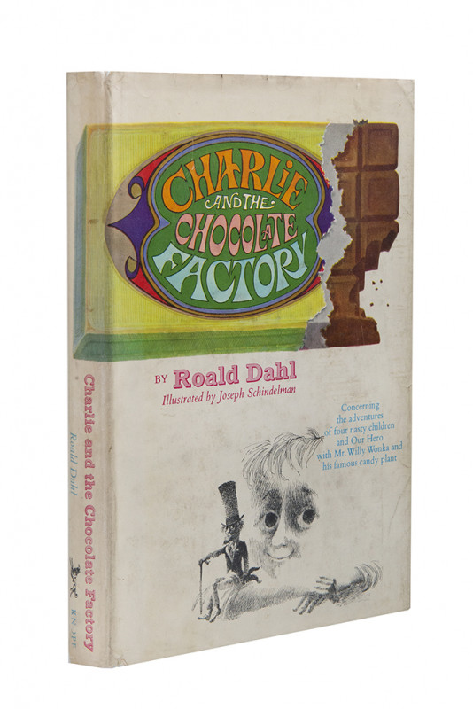
Charlie and the Chocolate Factory.
DAHL, Roald.
New York, Alfred A. Knopf
£2250.00
Offered by Shapero Rare Books Ltd
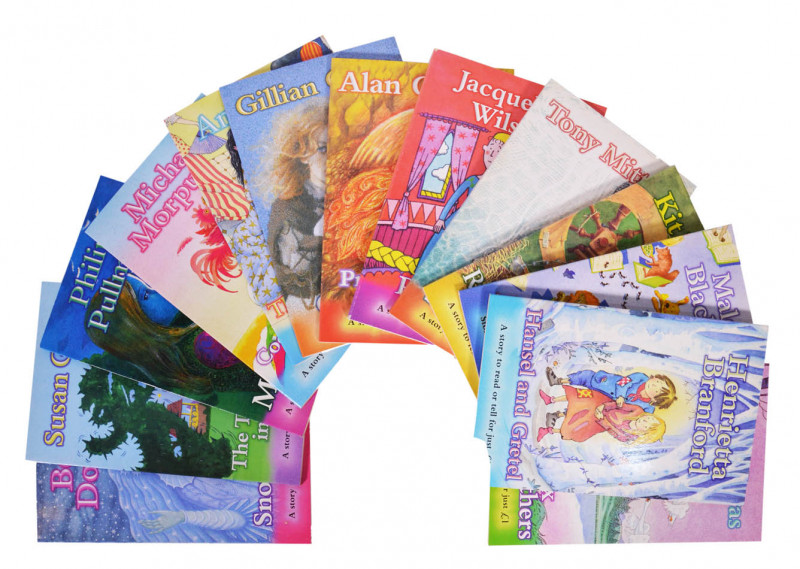
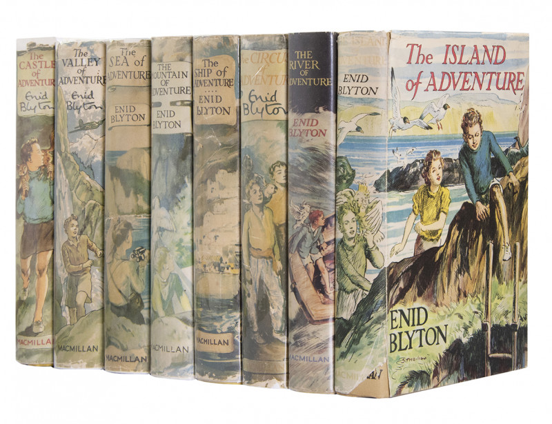
A story to read or tell...[A complete set of 13 bo...
SCHOLASTIC CHILDREN'S BOOKS; FICKLING, David (editor).
Scholastic Children’s Books, ‘Magic Beans’ series
£650.00
Offered by Shapero Rare Books Ltd
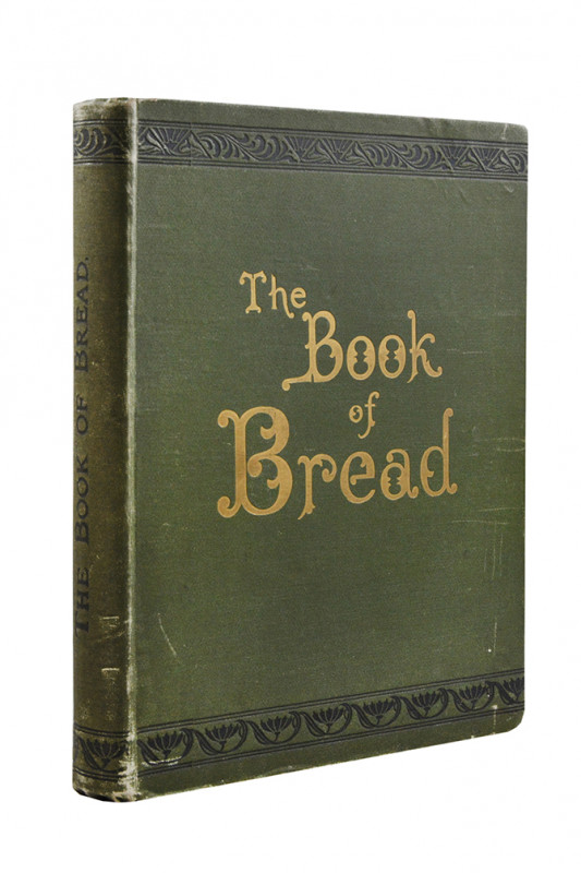
Breakfast in Périgord, Essays on Various Occasions...
[SPECIALLY BOUND ISSUE]; FLINT, William Russell.
London, Privately printed for [Flint] by Charles Skilton,
£500.00
Offered by Shapero Rare Books Ltd
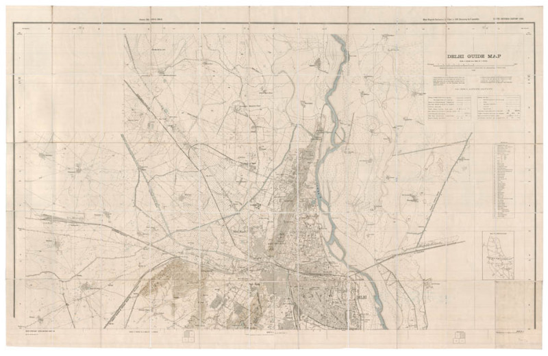
Delhi guide map
[SURVEY OF INDIA].
Calcutta, Survey of India
£800.00
Offered by Shapero Rare Books Ltd
Friends of the PBFA
Please email info@pbfa.org for more information