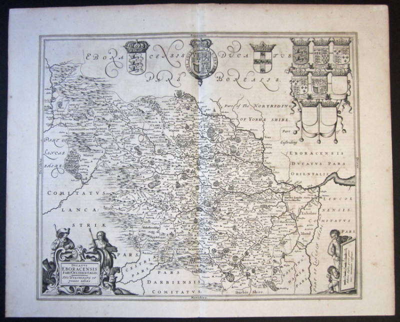
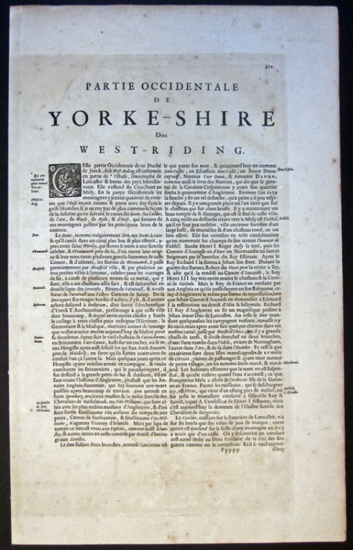
Jansson County Map of YORKSHIRE The West Riding 1646.
Book Description
Other books
If you liked the book you've just seen, you might be interested in other books from the same dealer below.
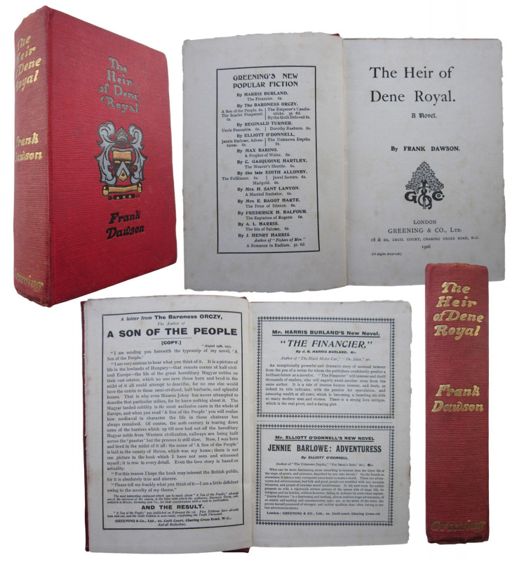
The Heir of Dene Royal. A Novel.
Dawson, Frank.
LONDON Greening & Co .,Ltd. 18 & 20 Cecil Court etc. 1906.First Edition.
£135.00
Offered by John L Capes
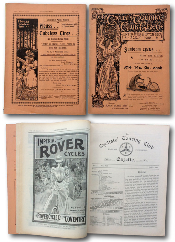
THE CYCLISTS TOURING CLUB GAZETTE July 1900
SHIPTON E. R. [Editor & Secretary]
London The C.T.C.GAZETTE 47 Victoria Street Westminster. 1900
£55.00
Offered by John L Capes
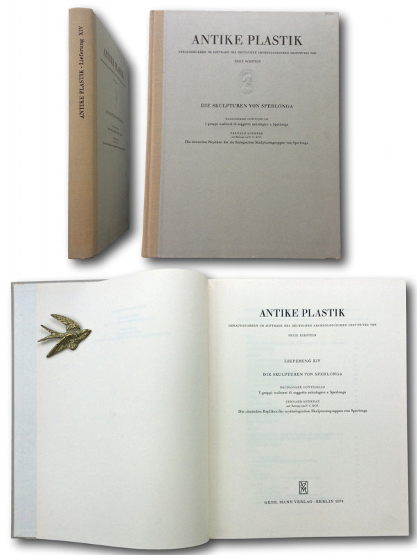
ANTIKE PLASTIK Die Sculpturen Von Sperlonga: I gr...
Baldassare Conticello; Bernard Andreae.
GEBR.MANN VERLAG. BERLIN 1974
£145.00
Offered by John L Capes
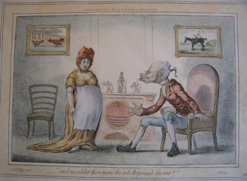
James Gillray "And Would'st Thou Turn The Vile Rep...
Gillray, James. 1756-1815.
London Henry Bohn c.1847.
£100.00
Offered by John L Capes
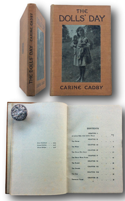
THE DOLLS' DAY.
CADBY, Carine and Will Cadby [photographer]
LONDON Mills & Boon Sept 1918
£40.00
Offered by John L Capes
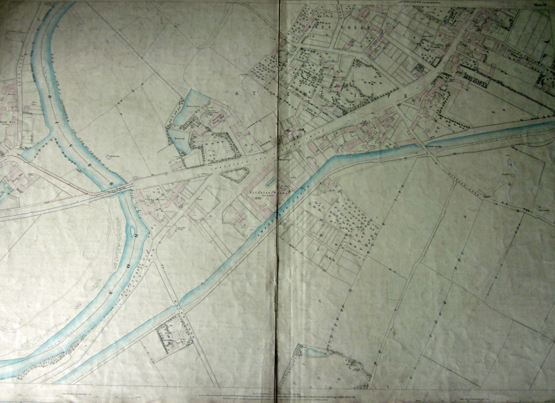
SHEFFIELD 1849 Ordnance Survey Map 5 feet to the m...
Barlow,Captain. Yolland,William.Captain. Gosset,William,Driscoll.
Southampton. Ordnance Map Office.Pub'd by Lt. Colonel Hall. 24th March 1853.
£95.00
Offered by John L Capes
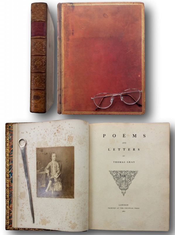
POEMS AND LETTERS
GRAY, Thomas [1716 -1771].
London: Printed at The Chiswick Press 1867
£100.00
Offered by John L Capes
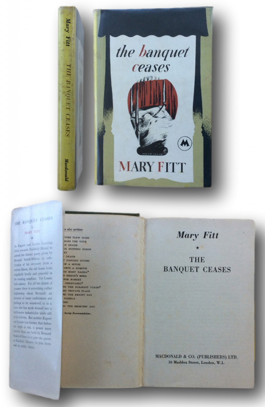
THE BANQUET CEASES.
FITT, Mary (pseud Kathleen Freeman 1897–1959)
LONDON: Macdonald & Co (Publishers) Ltd. 1952
£35.00
Offered by John L Capes
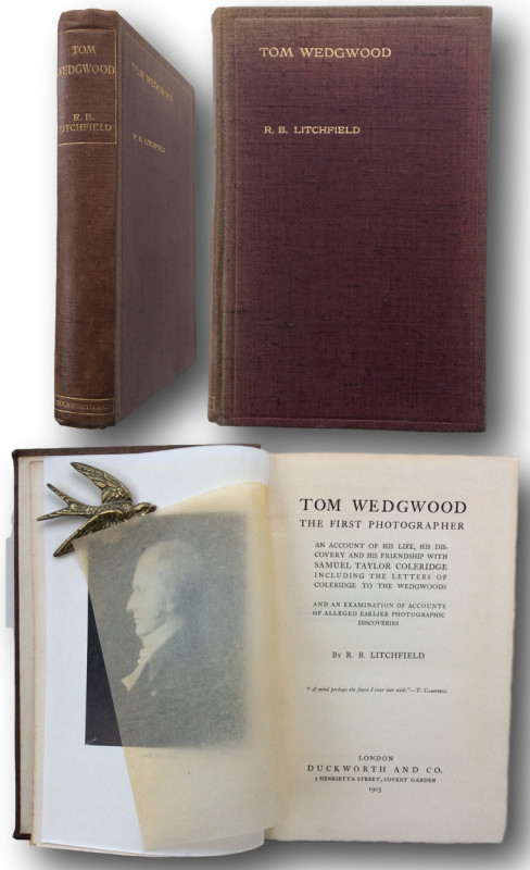
TOM WEDGWOOD,THE FIRST PHOTOGRAPHER; An account of...
LITCHFIELD, R.B. [Richard Buckley Litchfield 1832-1903]
LONDON Duckworth & Co.1903
£150.00
Offered by John L Capes
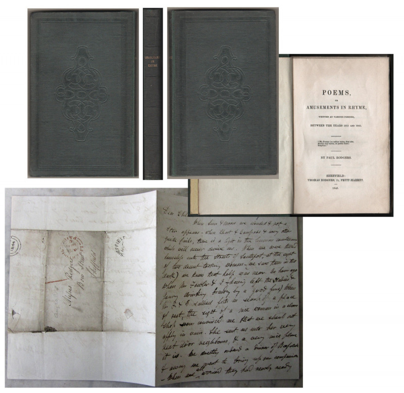
POEMS,or AMUSEMENTS IN RHYME,written at various pe...
Rodgers, Paul. [Sheffield Poet 1788 - 1851]
SHEFFIELD Thomas Rodgers 11 Fruit Market. 1845
£200.00
Offered by John L Capes
Friends of the PBFA
Please email info@pbfa.org for more information